The Californias, Geographic region in Baja California, Mexico
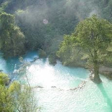
The Californias stretch along Mexico's northwestern coast, encompassing landscapes that range from Mediterranean climates to desert zones. The region borders both the Pacific Ocean on one side and the Gulf of California on the other, creating an extensive coastline on two sides.
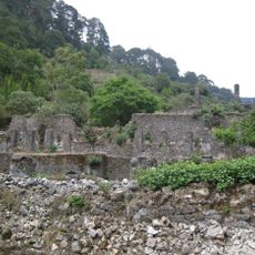
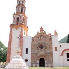
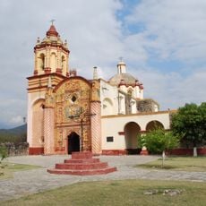
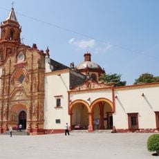
Spanish navigators reached the region during the 1530s and introduced European influence to the area. These early voyages set in motion the colonization process that would shape the peninsula's development for centuries to come.
The people adapted to vastly different environments, with coastal dwellers relying on fishing and ocean resources while inland groups developed strategies for arid landscapes. These separate ways of life still shape local traditions and community identities across the region.
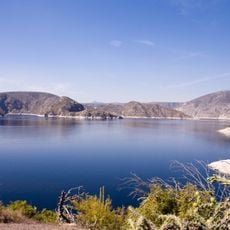
The area has several natural harbors on both the Pacific and gulf sides, making water-based travel and activities possible throughout the region. Visitors should know that settlements can be far apart and the terrain is often dry, so planning ahead for any journey is important.
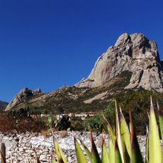
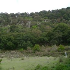
The Sierra de San Pedro Mártir mountain range cuts through the region with several striking peaks and dramatic changes in elevation. The tallest peak, Picacho del Diablo, dominates the landscape and offers challenging trails for those who seek mountain exploration.
The community of curious travelers
AroundUs brings together thousands of curated places, local tips, and hidden gems, enriched daily by 60,000 contributors worldwide.