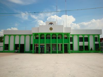
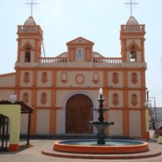
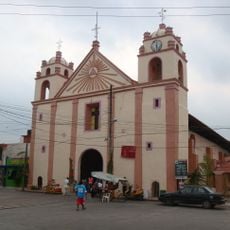
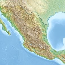
Nacajuca, Municipality in Tabasco, Mexico.
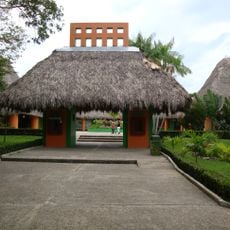
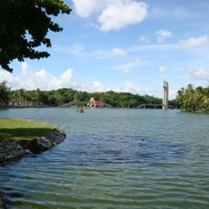
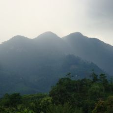
Nacajuca is a municipality in the Chontalpa region of Tabasco state, made up of several villages, farms, and rural settlements spread across flat terrain. The area is characterized by agricultural activity and traditional ways of living that shape its landscape.
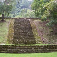
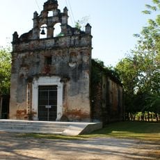
The settlement grew from pre-Hispanic traditions and was shaped by Spanish colonial administration before becoming the municipality it is today. These historical layers still influence how the community is organized and how it functions.
Local artisans here create traditional crafts like woven palm items and embroidered textiles that you can see in daily life and local markets. These skills pass from one generation to the next and remain part of the community's identity.
The area has a well-developed network of roads connecting the different villages and settlements, making it easy to move around. Local markets and agricultural centers are accessible through these road connections.
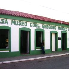
Key centers like Lomitas, Sandial, and Guatacalca focus on farming and traditional food businesses that form the backbone of the local economy. These hubs are where much of the commercial life happens.
GPS coordinates: 18.17836,-92.95515
Latest update: December 7, 2025 20:47
Palenque
123.5 km
La Venta
114.2 km
El Chichón
95.6 km
Temple of the Inscriptions
123.5 km
Comalcalco
28.3 km
Parque-Museo La Venta
19.9 km
Tomb of the Red Queen
123.4 km
Palenque National Park
123.5 km
Yumká
21.2 km
Zacatal Bridge
127.6 km
Cathedral of the Lord, Villahermosa
21.3 km
Laguna de Las Ilusiones
21.3 km
Museo de Historia de Tabasco Casa de los Azulejos
21.5 km
Tortuguero
68.4 km
Government Palace of Tabasco
21.5 km
Museo de Antropología Carlos Pellicer
22.4 km
Malpasito
115.6 km
Sierra de Tabasco State Park
77.3 km
Templo Padre Jesús de Nazaret
31.2 km
Casa Museo Carlos Pellicer Cámara
21.4 kmLebrela de Términos
133.2 km
Iglesia de la Natividad de María
26.3 km
Villahermosa México Temple
22 km
Iglesia de Nuestra Señora de la Asunción
66.7 km
Casa Museo Cnel. Gregorio Méndez Magaña
21.3 km
Pejelagartero 1.ª Sección (Gpe. Victoria)
93.3 km
Ecomundo Park
125.7 km
Xicalango Lighthouse
122.2 kmVisited this place? Tap the stars to rate it and share your experience / photos with the community! Try now! You can cancel it anytime.
Discover hidden gems everywhere you go!
From secret cafés to breathtaking viewpoints, skip the crowded tourist spots and find places that match your style. Our app makes it easy with voice search, smart filtering, route optimization, and insider tips from travelers worldwide. Download now for the complete mobile experience.
A unique approach to discovering new places❞
— Le Figaro
All the places worth exploring❞
— France Info
A tailor-made excursion in just a few clicks❞
— 20 Minutes