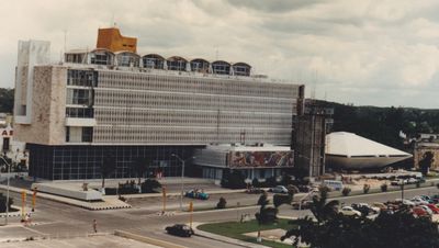
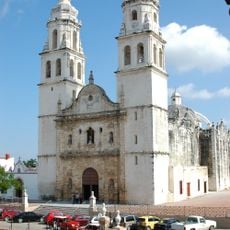
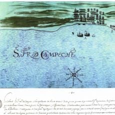
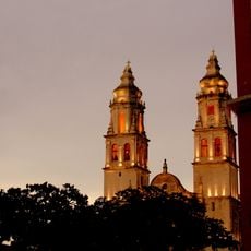
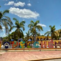
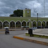
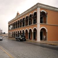
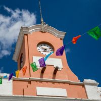
Campeche, State capital in southeastern Mexico
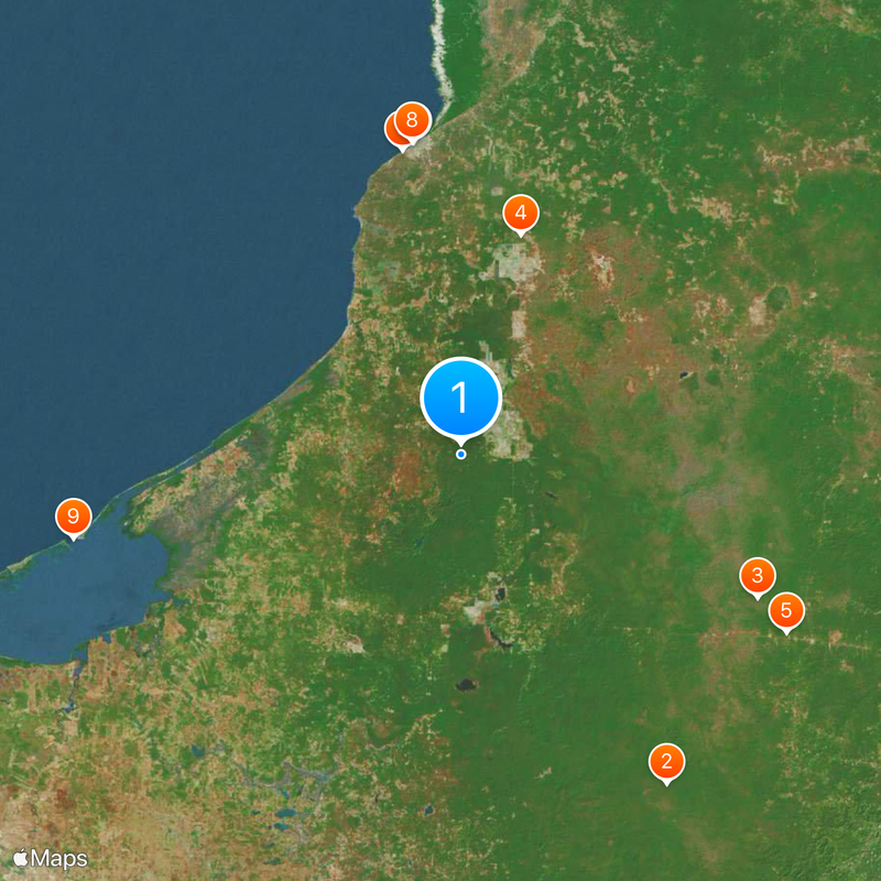
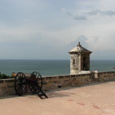
This region covers the western Yucatan Peninsula with limestone plains, tropical woodland, and a coastline of 523 kilometers (325 miles) along the Gulf of Mexico. The terrain shifts between drier sections in the north and more densely forested areas in the south, where large nature reserves are also located.
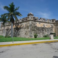
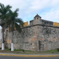
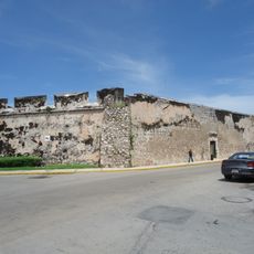
The territory broke away from Yucatan in 1857 and became an official federal entity in 1862, after centuries under Spanish colonial administration and earlier Maya occupation. The political reorganization followed prolonged disputes over autonomy and economic control in the region.
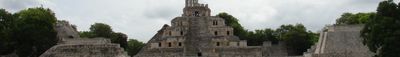
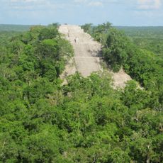
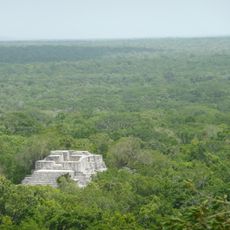
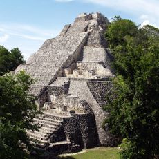
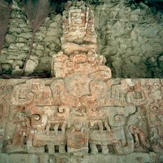
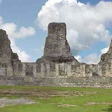
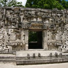
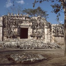
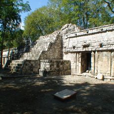
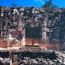
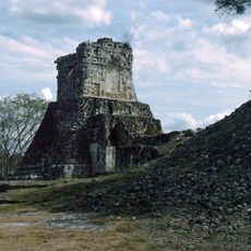
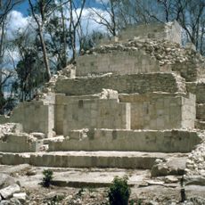
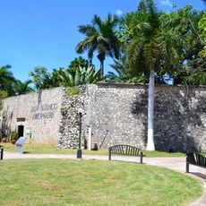
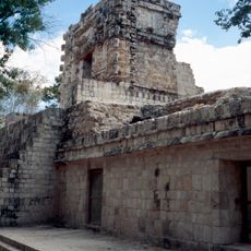
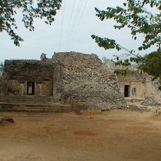
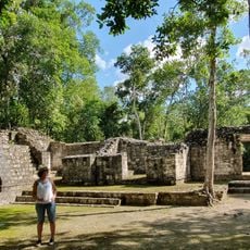
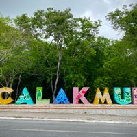
The Museum of Mayan Archaeology in the city displays finds from old settlements like Edzná and Calakmul as well as other sites across the region. The exhibits give a sense of how people lived here hundreds of years ago and shaped their surroundings.
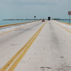
The territory connects to the rest of Mexico through railroads, highways, and flights from the international airport. Travelers reach both coastal areas and the interior on paved roads, though longer journeys in the south may pass through dense vegetation.
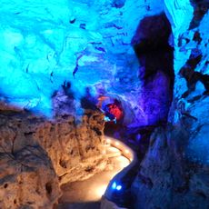
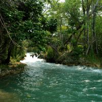
The Calakmul Biosphere Reserve holds deep limestone caves that supply water for farming and help maintain the ecological balance of the region. These underground systems also feed rivers and lagoons found along the coast and inland.
The community of curious travelers
AroundUs brings together thousands of curated places, local tips, and hidden gems, enriched daily by 60,000 contributors worldwide.