Enable Location

We need your location to show you interesting places around you

Discover nearby places

Find interesting locations and hidden gems around you

Precise directions

Get accurate directions and distances to places

Your location is never shared with other users. It's only used when you tap the location button.

Southeast Mexico

Log in to your account

Start exploring — it's free

Trusted by 68,121 travelers worldwide

Continue with Google
Continue with Apple
or

We will send you a code to connect

By continuing, you accept our Terms and Conditions and our Privacy Policy

Check your inbox

We've sent a pincode in your inbox. Please enter the code below.

Southeast Mexico
Discussion Reviews 1 Photos
102k Popularity

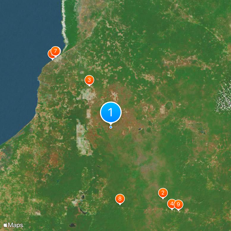
Southeast Mexico, Geographic region in southern North America, Mexico.

Southeast Mexico covers five states including Campeche, Chiapas, Tabasco, Quintana Roo, and Yucatán, stretching across coastal plains and tropical forests. Rivers run through the territory and flow through forested lowlands, while the Caribbean coastline offers shallow lagoons and coral reefs.

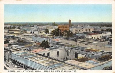
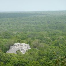
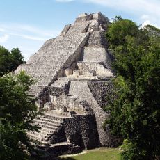
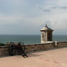
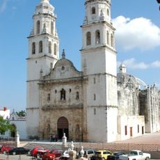
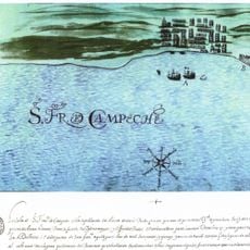
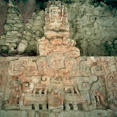
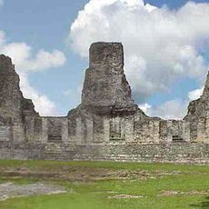
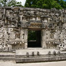
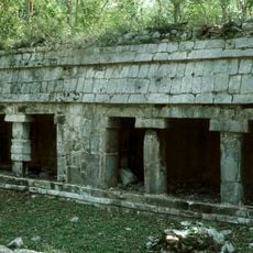
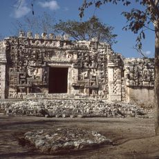
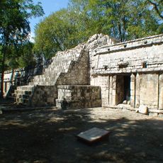
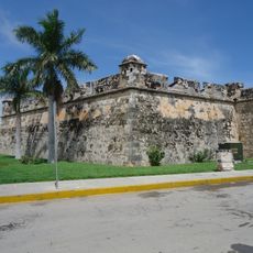
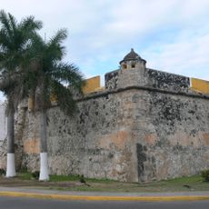
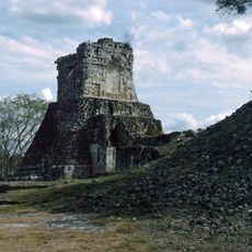
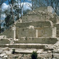
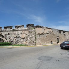
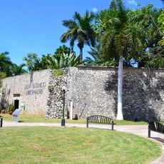
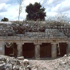
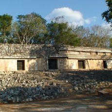
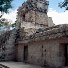
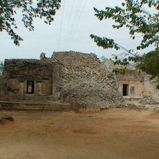
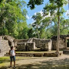
The Maya civilization developed in this area starting around 2000 BCE and built cities such as Palenque, Tulum, and Chichén Itzá across the territory. The arrival of Spanish conquistadors in the 16th century brought fundamental changes to the political structure and led to incorporation into the colonial Viceroyalty of New Spain.

Maya languages are still spoken in many communities, especially in smaller towns where they remain part of daily conversation alongside Spanish. Markets sell hand-woven textiles and woven baskets crafted using centuries-old techniques, often displaying traditional patterns that reflect local identity.

The best time to visit is during the dry season from November through April, when paths and roads are easier to navigate and humidity levels are slightly lower. Insect repellent and light, breathable clothing are advisable throughout the year, as the tropical climate prevails.

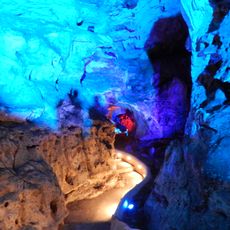
Limestone sinkholes known as cenotes form extensive underground water systems throughout the Yucatán Peninsula and served the Maya both as water sources and sacred sites. Some cenotes lie hidden in the jungle and are accessible only by narrow trails, giving them an isolated feel.

The community of curious travelers

AroundUs brings together thousands of curated places, local tips, and hidden gems, enriched daily by 60,000 contributors worldwide.

Start exploring
GPS coordinates
19.23417,-90.03083
Latest update
March 5, 2026 18:15
Reviews
Share your experience

No review yet

Discussions
Start a discussion...

No discussion yet

« Southeast Mexico - Geographic region in southern North America, Mexico » is provided by Around Us (aroundus.com). Images and texts are derived from Wikimedia project under a Creative Commons license. You are allowed to copy, distribute, and modify copies of this page, under the conditions set by the license, as long as this note is clearly visible.

Discover hidden gems everywhere you go!

From secret cafés to breathtaking viewpoints, skip the crowded tourist spots and find places that match your style. Our app makes it easy with voice search, smart filtering, route optimization, and insider tips from travelers worldwide. Download now for the complete mobile experience.

Around Us App Screenshot

A unique approach to discovering new places

Le Figaro

All the places worth exploring

France Info

A tailor-made excursion in just a few clicks

20 Minutes

Around Us
Travel Guide & Maps
Download

Send to your phone

QR Code
1

Open the camera app on your mobile.

2

Point at the QR code with your camera. A notification will appear.

3

Tap the notification to open the link.