Belize–Mexico border, International border between Chetumal Bay and Garbutt's Falls, Mexico and Belize.
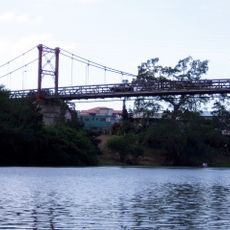
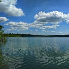
The border between Belize and Mexico runs for more than 250 kilometers and mostly follows the Hondo River as it winds from the Caribbean through thick forest. Two main bridges connect the countries, with the largest one linking Subteniente López in Mexico directly to Santa Elena in Belize.
Mexico and Britain established the current border through a treaty signed in 1893, when Belize was under British control as British Honduras. The agreement made the Hondo River the official dividing line and formed the basis for today's boundary.
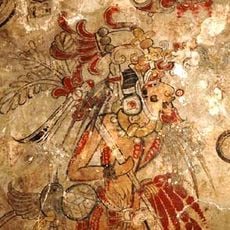
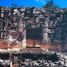
People living near the border share similar ways of life and celebrate many traditions together across the frontier. You can see Mexican and Belizean influences mixed throughout the communities in how homes are built, the food people eat, and the holidays they observe.
Crossing at either bridge location is straightforward, though you may need basic travel documents depending on your plans and nationality. The dry season makes crossing easier and more comfortable, as water levels are lower and roads are in better condition.
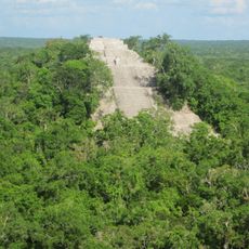
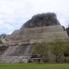
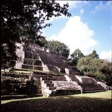
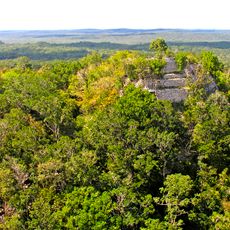
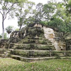
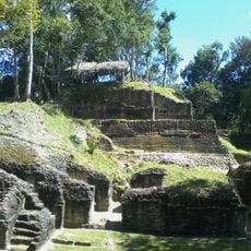
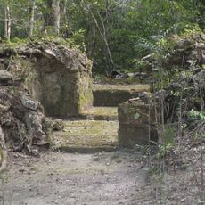
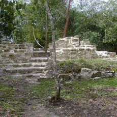
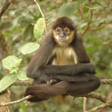
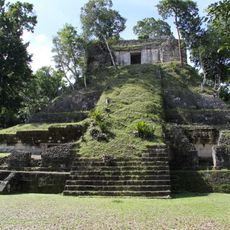
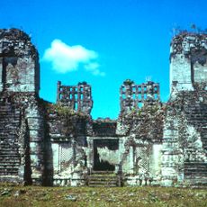
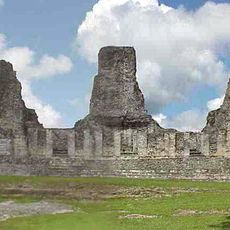
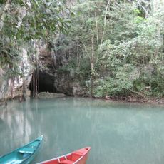
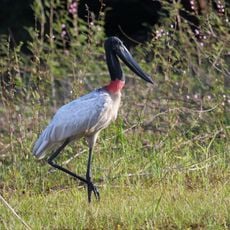
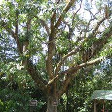
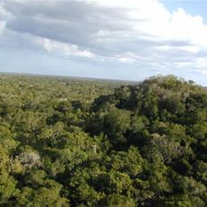
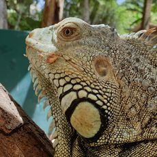
Some sections of the border region contain untouched tropical forests where plants and animals live in areas rarely disturbed by people. These wild zones are hard to reach and remain largely unknown to most travelers visiting the area.
The community of curious travelers
AroundUs brings together thousands of curated places, local tips, and hidden gems, enriched daily by 60,000 contributors worldwide.