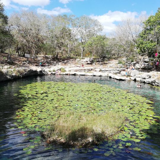
Cenote Xlaca, Underground cenote in Yucatán, Mexico.
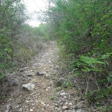
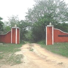
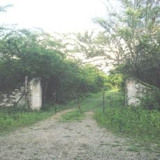
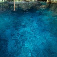
Cenote Xlaca is a sinkhole in the state of Yucatán, Mexico, about 13 km north of Mérida. Its surface lies 9 metres above sea level on flat farmland. The surrounding terrain is almost entirely level, with the nearest higher ground, about 14 metres high, roughly 1.9 km to the south.
The sinkhole formed over millions of years as acidic water dissolved the limestone bedrock beneath the Yucatán Peninsula. This geological process created the underground freshwater system that shaped human settlement in the region.
The sources record no Maya rituals or offerings at Cenote Xlaca; it is documented as a sinkhole 9 metres above sea level in Yucatán, about 13 km north of Mérida. The surrounding land is flat farmland, with the nearest higher ground, 14 metres high, roughly 1.9 km to the south. Around 116 people live per square kilometre in the area.
Cenote Xlaca lies in the state of Yucatán, about 13 km north of Mérida, in flat farmland country. The surrounding terrain is low, reaching only about 14 m above sea level within 2 km, and the local climate is dry, with April highs near 30 °C and January lows near 22 °C.
The source records Cenote Xlaca at 9 metres above sea level, on flat farmland about 13 km north of Mérida, in a area of roughly 116 inhabitants per square kilometre. The surrounding terrain is almost entirely level, with the nearest rise only 14 metres high, about 1.9 km to the south.
The community of curious travelers
AroundUs brings together thousands of curated places, local tips, and hidden gems, enriched daily by 94,512 contributors worldwide.