Yucatán, Mexican administrative division in southeastern Mexico.
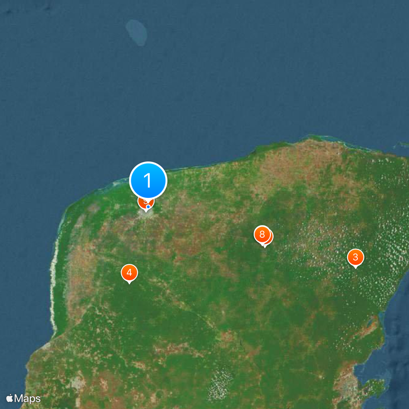
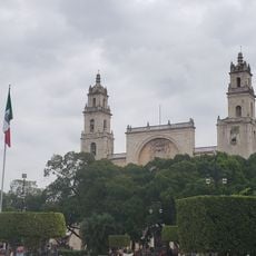
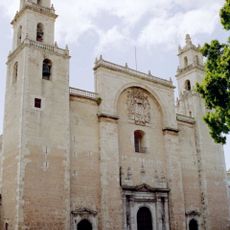
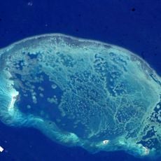
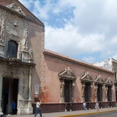
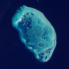
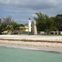
Yucatán stretches across a limestone peninsula between the Gulf of Mexico and the Caribbean Sea, covering 106 municipalities with Mérida as its capital. This region forms the northwestern portion of the larger peninsula and borders Quintana Roo to the east and Campeche to the southwest.
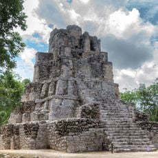
This territory declared independence several times during the 19th century, including a notable attempt in 1823 after Mexico broke away from Spanish control. During the Caste War between 1847 and 1901 indigenous Maya communities fought for autonomy against the regional government.
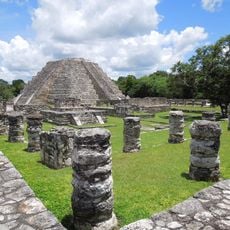
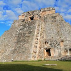
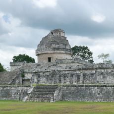
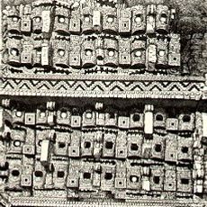
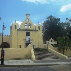
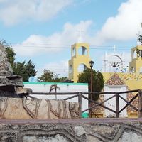
The Mayan language and traditions shape everyday life across many communities, where residents speak Yucatec Maya alongside Spanish. In villages and markets this cultural continuity shows up clearly through traditional dress and local dishes with pre-Columbian roots.
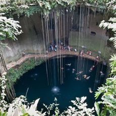
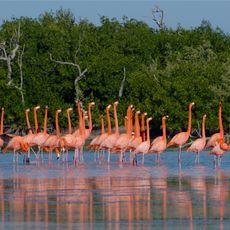
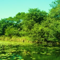
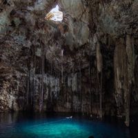
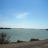
The area experiences a tropical climate with rainy season from May through October, making the drier months better suited for outdoor activities. The flat landscape with few rivers means freshwater sources often come from underground cenotes found along major roads.
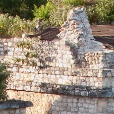
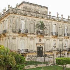
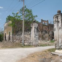
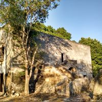
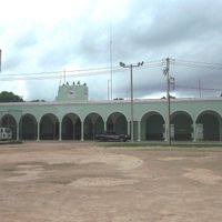
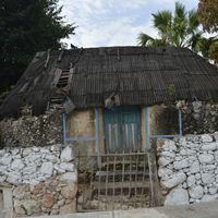
Henequen production once transformed the economy and created a network of haciendas that processed this agave plant for rope manufacturing until the 1950s. Many of these abandoned estates with their machine houses and worker settlements now lie scattered across the countryside and remain visible from main highways.
Location: Mexico
Inception: 1823
Capital city: Mérida
Elevation above the sea: 30 m
Shares border with: Campeche, Quintana Roo
Address: Yucatan, Mexico
Website: http://yucatan.gob.mx
GPS coordinates: 21.00000,-89.60000
Latest update: December 11, 2025 23:44
Chichen Itza
113 km
Coba
203.3 km
Uxmal
73.5 km
Sacred Cenote
112.9 km
Plaza Grande
4.4 km
Ik Kil
115.9 km
Temple of Kukulcan
113 km
Mérida Cathedral
4.3 km
Mayapan
43.7 km
Ek' Balam
152.7 km
Dzibilchaltun
10.2 km
Scorpion Reef
154.2 km
Pyramid of the Magician
73.3 km
Uxmal Archaeological Zone
73.3 km
El Caracol, Chichen Itza
112.9 km
Casa de Montejo
4.5 km
Edzna
169.5 km
Arrecife Alacranes National Park
164.4 km
Gran Museo del Mundo Maya
4.9 km
Kabah
83.8 km
Ría Lagartos
89 km
Muyil
231 km
Twin Houses
3.3 km
Ermita de Santa Isabel
5.7 km
Teatro Peón Contreras
4.1 km
Los Petenes biosphere reserve
77.9 km
Fort San Miguel, Campeche
165.3 km
Our Lady of the Immaculate Conception Cathedral, Campeche
161.4 kmVisited this place? Tap the stars to rate it and share your experience / photos with the community! Try now! You can cancel it anytime.
Abalá Municipality
Acanceh Municipality
Akil
Baca
Bokobá Municipality
Buctzotz
Cacalchén Municipality
Calotmul Municipality
Cansahcab Municipality
Cantamayec Municipality
Tekax
Tixcacalcupul
Celestún Municipality
Cenotillo Municipality
Chacsinkín Municipality
Chankom Municipality
Chapab Municipality
Chemax Municipality
Chichimilá Municipality
Chicxulub Pueblo Municipality
Chikindzonot Municipality
Chocholá Municipality
Chumayel Municipality
Conkal Municipality
Cuncunul Municipality
Cuzamá Municipality
Dzán
Dzemul Municipality
Dzidzantún Municipality
Dzilam de Bravo Municipality
Dzilam González Municipality
Dzitás Municipality
Dzoncauich Municipality
Discover hidden gems everywhere you go!
From secret cafés to breathtaking viewpoints, skip the crowded tourist spots and find places that match your style. Our app makes it easy with voice search, smart filtering, route optimization, and insider tips from travelers worldwide. Download now for the complete mobile experience.
A unique approach to discovering new places❞
— Le Figaro
All the places worth exploring❞
— France Info
A tailor-made excursion in just a few clicks❞
— 20 Minutes