Enable Location

We need your location to show you interesting places around you

Discover nearby places

Find interesting locations and hidden gems around you

Precise directions

Get accurate directions and distances to places

Your location is never shared with other users. It's only used when you tap the location button.

St. James Parish

Log in to your account

Start exploring — it's free

Trusted by 61,817 travelers worldwide

Continue with Google
Continue with Apple
or

We will send you a code to connect

By continuing, you accept our Terms and Conditions and our Privacy Policy

Check your inbox

We've sent a pincode in your inbox. Please enter the code below.

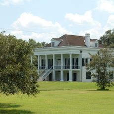
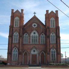
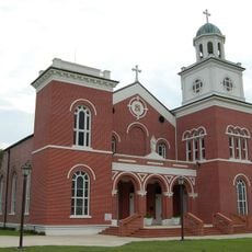
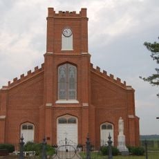
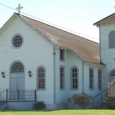
St. James Parish, Parish administrative division in Louisiana, United States.

Description

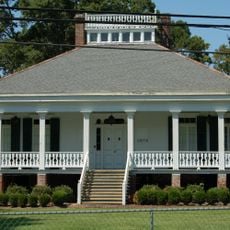
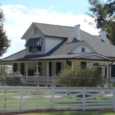
St. James Parish stretches along the Mississippi River and encompasses several residential areas with distinct characteristics. Towns like Gramercy, Lutcher, North Vacherie, and South Vacherie form the main communities within this administrative area.

History

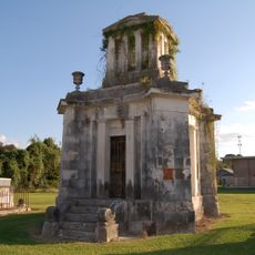
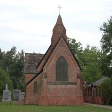
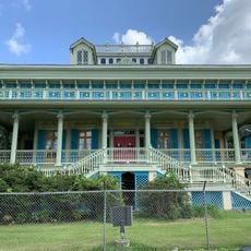
The parish emerged during French and Spanish colonial times and has maintained its administrative framework since then. This long governmental tradition continues to define the region today.

Culture

The parish communities maintain their bonds through local gatherings and civic participation throughout the year. This engagement shapes daily life in places like Gramercy and Lutcher.

Practical

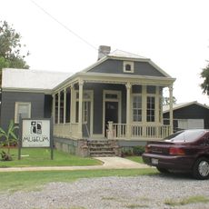
Convent serves as the parish seat where main administrative offices are located for residents and visitors. Services are accessible from various local offices distributed throughout the communities.

Did you know?

The parish manages multiple governmental functions including property assessment, court operations, and emergency response through a unified system. This combination of roles reflects how Louisiana's parish system works differently from other regions.

Location
Inception
March 31, 1807
Capital city
Convent
Shares border with
Ascension Parish, Assumption Parish, St. John the Baptist Parish, Lafourche Parish
GPS coordinates
30.03000,-90.80000
Latest update
December 20, 2025 15:38

AroundUs brings together thousands of curated places, local tips, and hidden gems, enriched daily by 60,000 contributors worldwide. Discover all places nearby (Louisiana).

Around this place
Oak Alley Plantation
United States of America

Oak Alley Plantation

3.7 km
Whitney Plantation Historic District
United States of America

Whitney Plantation Historic District

14.4 km
Evergreen Plantation
United States of America

Evergreen Plantation

15.4 km
Sunshine Bridge
United States of America

Sunshine Bridge

13.2 km
Madewood Plantation House
United States of America

Madewood Plantation House

22 km
Ashland Plantation
United States of America

Ashland Plantation

25.1 km
Gramercy Bridge
United States of America

Gramercy Bridge

12.4 km
San Francisco Plantation House
United States of America

San Francisco Plantation House

18.9 km
Evan Hall
United States of America

Evan Hall

25.5 km
Laura Plantation
United States of America

Laura Plantation

7.6 km
St. Emma Plantation
United States of America

St. Emma Plantation

23 km
River Road African American Museum
United States of America

River Road African American Museum

20 km
Godchaux–Reserve Plantation
United States of America

Godchaux–Reserve Plantation

22.9 km
Palo Alto Plantation
United States of America

Palo Alto Plantation

23.3 km
Desire Plantation House
United States of America

Desire Plantation House

14.1 km
St. Elizabeth Catholic Church
United States of America

St. Elizabeth Catholic Church

25.3 km
St. Anne Catholic Church
United States of America

St. Anne Catholic Church

24.1 km
Olive Jeanette
United States of America

Olive Jeanette

10.1 km
Church of the Assumption of the Blessed Virgin Mary
United States of America

Church of the Assumption of the Blessed Virgin Mary

22 km
Landry Tomb
United States of America

Landry Tomb

19.5 km
Emilie Plantation
United States of America

Emilie Plantation

18.4 km
Mather House
United States of America

Mather House

4 km
Christ Episcopal Church and Cemetery
United States of America

Christ Episcopal Church and Cemetery

23.9 km
Our Lady of Grace Church
United States of America

Our Lady of Grace Church

24 km
LaBarre House
United States of America

LaBarre House

22.5 km
San Francisco Plantation
United States of America

San Francisco Plantation

19.2 km
Graugnard Farms Plantation
United States of America

Graugnard Farms Plantation

5.3 km
Hope Plantation (Louisiana)
United States of America

Hope Plantation (Louisiana)

17.4 km
Show the full map
Administrative divisions
« St. James Parish - Parish administrative division in Louisiana, United States » is provided by Around Us (aroundus.com). Images and texts are derived from Wikimedia project under a Creative Commons license. You are allowed to copy, distribute, and modify copies of this page, under the conditions set by the license, as long as this note is clearly visible.

Discover hidden gems everywhere you go!

From secret cafés to breathtaking viewpoints, skip the crowded tourist spots and find places that match your style. Our app makes it easy with voice search, smart filtering, route optimization, and insider tips from travelers worldwide. Download now for the complete mobile experience.

Around Us App Screenshot

A unique approach to discovering new places

Le Figaro

All the places worth exploring

France Info

A tailor-made excursion in just a few clicks

20 Minutes

Around Us
Travel Guide & Maps
Download

Send to your phone

QR Code
1

Open the camera app on your mobile.

2

Point at the QR code with your camera. A notification will appear.

3

Tap the notification to open the link.