Enable Location

We need your location to show you interesting places around you

Discover nearby places

Find interesting locations and hidden gems around you

Precise directions

Get accurate directions and distances to places

Your location is never shared with other users. It's only used when you tap the location button.

St. Tammany Parish

Log in to your account

Start exploring — it's free

Trusted by 61,808 travelers worldwide

Continue with Google
Continue with Apple
or

We will send you a code to connect

By continuing, you accept our Terms and Conditions and our Privacy Policy

Check your inbox

We've sent a pincode in your inbox. Please enter the code below.

St. Tammany Parish, Administrative division in Louisiana, US

Description

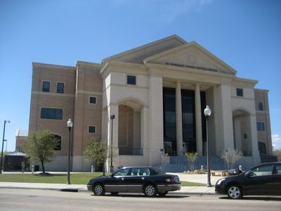
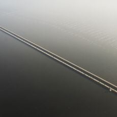
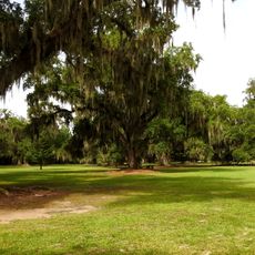
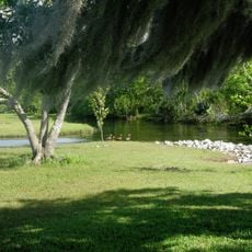
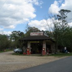
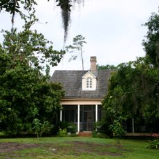
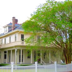
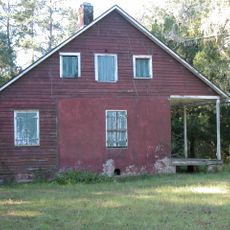
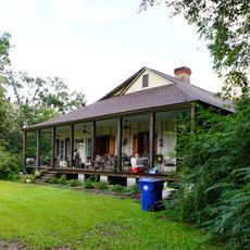
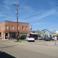
St. Tammany Parish spreads across the northern shore of Lake Pontchartrain, encompassing several towns including Covington, Mandeville, and Slidell. The area ranges from dense urban centers to more open, rural sections.

History

The parish took its name from Chief Tamanend, who negotiated peace agreements with European settlers during the colonial era. This naming reflects early connections between Native peoples and newcomers.

Culture

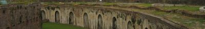
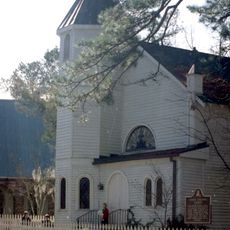
The parish blends urban and rural traditions through events held throughout the year at local fairgrounds and community spaces. This mix shapes how residents spend time and celebrate together.

Practical

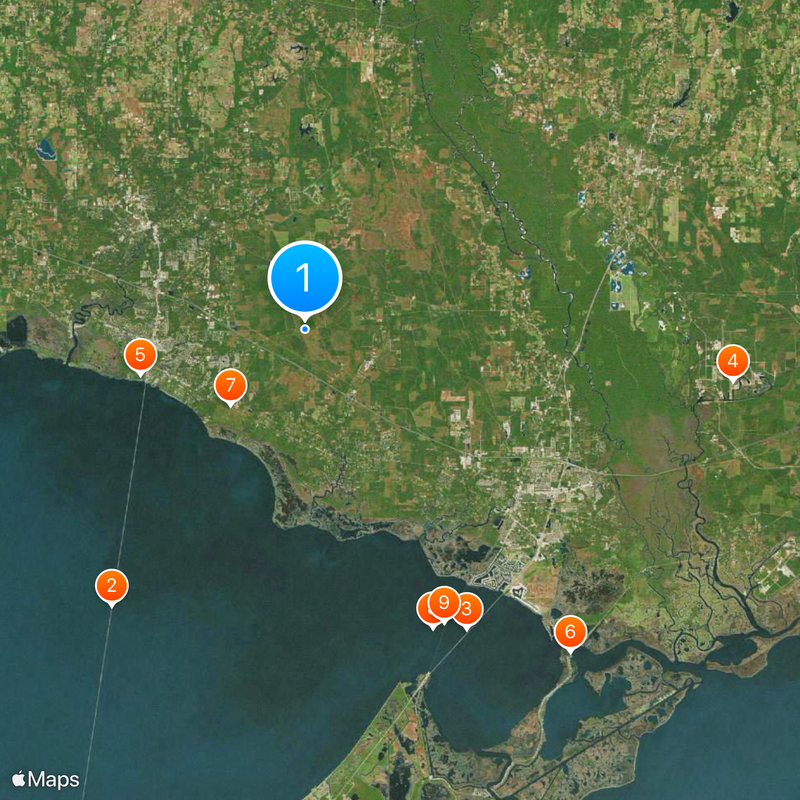
The area is easily accessible by car from New Orleans and offers various entry points to parks and public spaces around the lake. Visitors will find more activities and events on weekends, especially during warmer months.

Did you know?

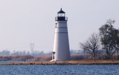
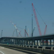
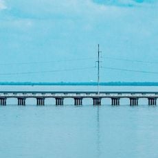
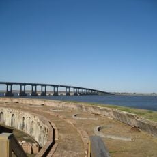
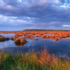
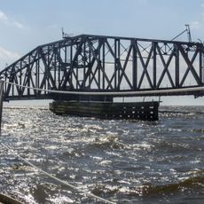
The area manages a regional airport while overseeing coastal restoration projects along the lake, showing a balance between development and conservation. These dual responsibilities reveal how local government works to blend infrastructure needs with environmental care.

Location
Inception
1810
Capital city
Covington
Shares border with
Washington Parish, Pearl River County, Hancock County, Jefferson Parish, Tangipahoa Parish, Orleans Parish
GPS coordinates
30.40000,-89.96000
Latest update
December 14, 2025 19:04

AroundUs brings together thousands of curated places, local tips, and hidden gems, enriched daily by 60,000 contributors worldwide. Discover all places nearby (Louisiana).

Around this place
Lake Pontchartrain Causeway
United States of America

Lake Pontchartrain Causeway

27.2 km
I-10 Twin Span Bridge
United States of America

I-10 Twin Span Bridge

27.5 km
John C. Stennis Space Center
United States of America

John C. Stennis Space Center

34.8 km
Seven Sisters Oak
United States of America

Seven Sisters Oak

13.8 km
Fort Pike
United States of America

Fort Pike

33.7 km
Fontainebleau State Park
United States of America

Fontainebleau State Park

8.6 km
United States of America

Norfolk Southern Lake Pontchartrain Bridge

26.3 km
Maestri Bridge
United States of America

Maestri Bridge

26.2 km
Fairview-Riverside State Park
United States of America

Fairview-Riverside State Park

17.4 km
Fort Pike Bridge
United States of America

Fort Pike Bridge

33.5 km
United States of America

Bogue Chitto National Wildlife Refuge

22.9 km
Big Branch Marsh National Wildlife Refuge
United States of America

Big Branch Marsh National Wildlife Refuge

13 km
Abita Mystery House
United States of America

Abita Mystery House

11.2 km
Crosby Arboretum
United States of America

Crosby Arboretum

30.5 km
United States of America

Pearl River Wildlife Management Area

29.5 km
Christ Episcopal Church
United States of America

Christ Episcopal Church

15 km
Francois Cousin House
United States of America

Francois Cousin House

18.7 km
CSX Rigolets Pass Bridge
United States of America

CSX Rigolets Pass Bridge

41.8 km
National Weather Service New Orleans/Baton Rouge, Louisiana
United States of America

National Weather Service New Orleans/Baton Rouge, Louisiana

14.7 km
Dendinger House
United States of America

Dendinger House

19.3 km
Camp Salmen House
United States of America

Camp Salmen House

17.8 km
West Rigolets Light
United States of America

West Rigolets Light

32.5 km
United States of America

Claiborne Cottage Hotel

14.8 km
United States of America

Madisonville Bank

19.1 km
East Rigolets Light
United States of America

East Rigolets Light

40.4 km
Francois Cousin House
United States of America

Francois Cousin House

10.2 km
Dew Drop Social and Benevolent Hall
United States of America

Dew Drop Social and Benevolent Hall

11 km
Division of St. John Historic District
United States of America

Division of St. John Historic District

15.4 km
Show the full map
Administrative divisions
« St. Tammany Parish - Administrative division in Louisiana, US » is provided by Around Us (aroundus.com). Images and texts are derived from Wikimedia project under a Creative Commons license. You are allowed to copy, distribute, and modify copies of this page, under the conditions set by the license, as long as this note is clearly visible.

Discover hidden gems everywhere you go!

From secret cafés to breathtaking viewpoints, skip the crowded tourist spots and find places that match your style. Our app makes it easy with voice search, smart filtering, route optimization, and insider tips from travelers worldwide. Download now for the complete mobile experience.

Around Us App Screenshot

A unique approach to discovering new places

Le Figaro

All the places worth exploring

France Info

A tailor-made excursion in just a few clicks

20 Minutes

Around Us
Travel Guide & Maps
Download

Send to your phone

QR Code
1

Open the camera app on your mobile.

2

Point at the QR code with your camera. A notification will appear.

3

Tap the notification to open the link.