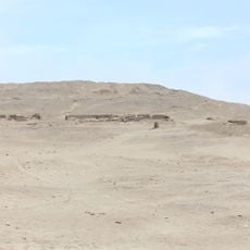
Huarochirí district, Administrative district in Huarochirí Province, Peru.
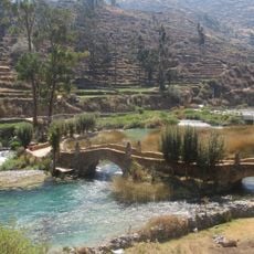
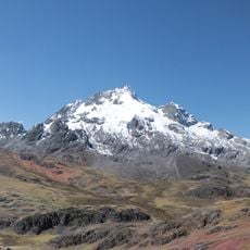
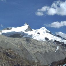
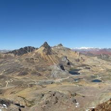
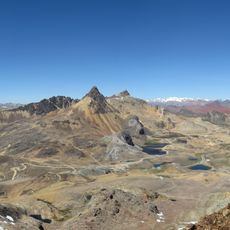
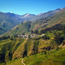
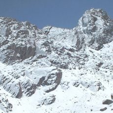
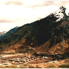
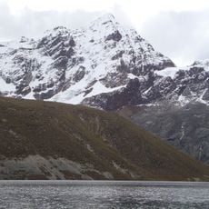
Huarochirí district occupies a mountainous area in Huarochirí Province within the Lima Region, characterized by steep elevation changes and valleys. The main town serves as the administrative center and is surrounded by communities spread across the slopes at different altitudes.
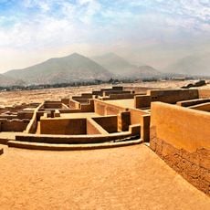
The area was originally organized as corregimientos under Spanish rule and received its current administrative form through territorial restructuring in the 19th century as Peru established its republican system. These reorganizations reflected how the newly independent nation redefined its internal divisions.
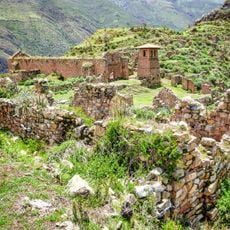
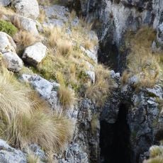
The area shows how communities here still work the land using old farming methods suited to steep mountain slopes that have been used for generations.
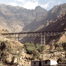
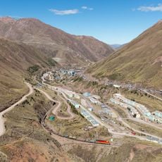
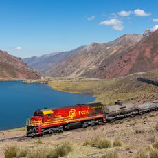
The district capital connects to Lima through winding mountain roads that climb the eastern Andean slopes with many switchbacks. Having local transportation arranged in advance helps since road conditions can change with weather and elevation.
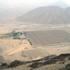
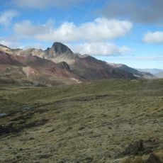
Different altitude zones within the territory support completely different crops right alongside each other, with each elevation band producing its own harvest. Visitors traveling through can observe how agricultural plants shift dramatically within short distances based on height above sea level.
Location: Huarochirí Province
Capital city: Huarochirí
Elevation above the sea: 3,146 m
Shares border with: San Damian District, San Mateo District, San Juan de Tantaranche District, Santiago de Anchucaya District, San Pedro de Huancayre District, San Lorenzo de Quinti District, Sangallaya District, Mariatana District, Langa District, Lahuaytambo District
GPS coordinates: -12.13636,-76.23499
Latest update: December 10, 2025 15:52
Pachacamac
73.6 km
Nor Yauyos-Cochas Landscape Reserve
42.1 km
Rajuntay
66.1 km
Jicamarca Radio Observatory
72.6 km
Pariacaca
30.8 km
Huaycán de Pariachi
66.5 km
Zárate Forest Reserved Zone
36 km
Pueblo Antiguo de Huaquis
47.1 km
Verrugas Bridge
38.9 km
Estadio Municipal de La Molina
71.6 km
Sima Pumacocha
64.8 km
Huaycán de Cieneguilla
58.2 km
Anticona
61.6 km
Chinchirusa
56 km
Yuraqqucha
62.7 km
Ticlla
33 km
Wayrakancha
49.8 km
Quñuqp'ukru
50 km
Wamp'una
70.1 km
Qanchis Kancha
56.1 km
Chuqi Chukchu
53.4 km
Chumpe (Junín)
49.6 km
Jirishmach'ay
59.3 km
Paraqti
54 km
Llongote
37.9 km
Huayna Cotoni
30.9 km
Huachipa Zoo Park
73.5 km
Iglesia de Nuestra Señora de la Asunción de Chilca
69.4 kmVisited this place? Tap the stars to rate it and share your experience / photos with the community! Try now! You can cancel it anytime.
Discover hidden gems everywhere you go!
From secret cafés to breathtaking viewpoints, skip the crowded tourist spots and find places that match your style. Our app makes it easy with voice search, smart filtering, route optimization, and insider tips from travelers worldwide. Download now for the complete mobile experience.
A unique approach to discovering new places❞
— Le Figaro
All the places worth exploring❞
— France Info
A tailor-made excursion in just a few clicks❞
— 20 Minutes