Enable Location

We need your location to show you interesting places around you

Discover nearby places

Find interesting locations and hidden gems around you

Precise directions

Get accurate directions and distances to places

Your location is never shared with other users. It's only used when you tap the location button.

El Tambo District

Log in to your account

Start exploring — it's free

Trusted by 61,950 travelers worldwide

Continue with Google
Continue with Apple
or

We will send you a code to connect

By continuing, you accept our Terms and Conditions and our Privacy Policy

Check your inbox

We've sent a pincode in your inbox. Please enter the code below.

El Tambo District

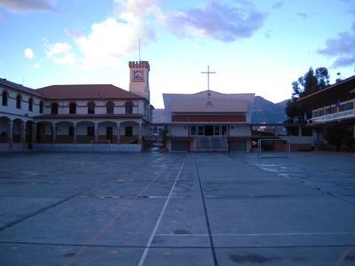
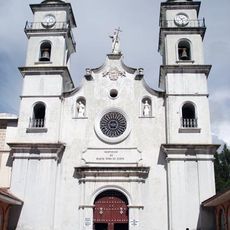
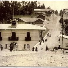
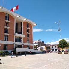
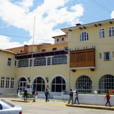
El Tambo District, Administrative district in Huancayo Province, Peru.

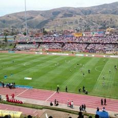
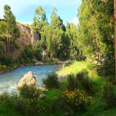
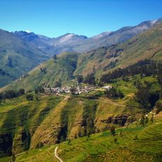
El Tambo District is an administrative area in Huancayo Province located in the central highlands at high elevation. The territory includes several communities and agricultural lands that form part of the broader economic zone of the Andean region.

The district was officially established in 1943 as part of administrative reorganization in the province. This creation helped organize local governance and development of the highland communities.

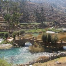
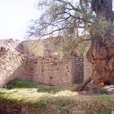
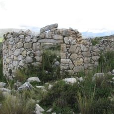
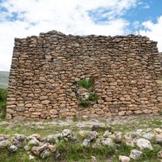
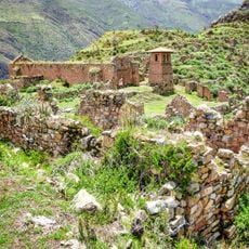
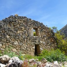
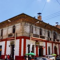
The people living here maintain deep ties to Andean traditions that shape daily life in the villages. You can observe traditional crafts and local customs practiced openly by residents in community spaces.

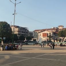
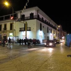
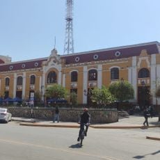
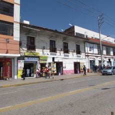
The district shares borders with several neighboring areas and functions as part of the regional transportation network. Roads connect the various communities to the main town and surrounding regions.

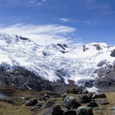
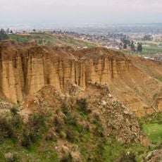
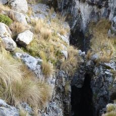
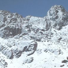
The area experiences significant temperature swings throughout the year between cold and warmer days. These fluctuations shape farming practices and how people adapt to life at this high elevation.

The community of curious travelers

AroundUs brings together thousands of curated places, local tips, and hidden gems, enriched daily by 60,000 contributors worldwide.

Start exploring
Capital city
El Tambo
Elevation above the sea
3,260 m
Shares border with
Quilcas District, Comas District, Pariahuanca District, Huancayo District, Huamancaca Chico District, Pilcomayo District, San Agustín District, Hualhuas District, San Pedro de Saño District
GPS coordinates
-12.05036,-75.22132
Latest update
December 7, 2025 20:41
« El Tambo District - Administrative district in Huancayo Province, Peru » is provided by Around Us (aroundus.com). Images and texts are derived from Wikimedia project under a Creative Commons license. You are allowed to copy, distribute, and modify copies of this page, under the conditions set by the license, as long as this note is clearly visible.

Discover hidden gems everywhere you go!

From secret cafés to breathtaking viewpoints, skip the crowded tourist spots and find places that match your style. Our app makes it easy with voice search, smart filtering, route optimization, and insider tips from travelers worldwide. Download now for the complete mobile experience.

Around Us App Screenshot

A unique approach to discovering new places

Le Figaro

All the places worth exploring

France Info

A tailor-made excursion in just a few clicks

20 Minutes

Around Us
Travel Guide & Maps
Download

Send to your phone

QR Code
1

Open the camera app on your mobile.

2

Point at the QR code with your camera. A notification will appear.

3

Tap the notification to open the link.