Log in to your account

AroundUs is a community-driven map of interesting places, built by curious explorers like you. It grows with every review, story, and photo you share.
Connect to save your favorite spots, contribute locations, and create personalized routes.
Continue with Google
Continue with Apple
Continue with X
Continue with Facebook
Continue with email
By continuing, you accept our Terms and Conditions and our Privacy Policy
Create an account

San Jerónimo de Tunán District

Add to collection
Map
Suggest a change
Share

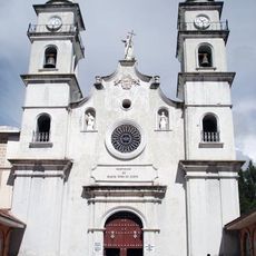
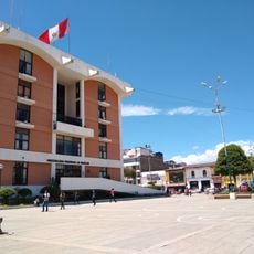
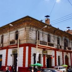
San Jerónimo de Tunán District, Administrative district in Huancayo Province, Peru.

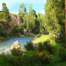
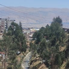
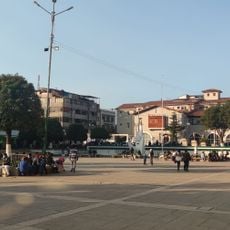
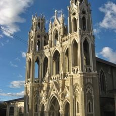
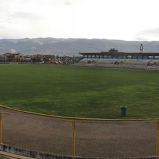
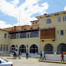
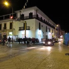
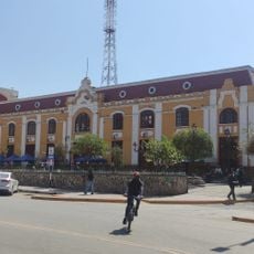
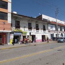
San Jerónimo de Tunán District is an administrative area in Huancayo Province, located in the Junín region at 3,274 meters elevation. The district encompasses multiple neighborhoods including La Esperanza, 2 de Mayo, and Tunán that together form the community.

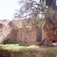
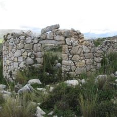
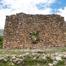
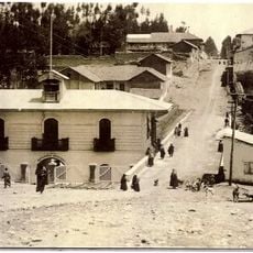
The district was established on October 5, 1854, growing from a settlement that began in the 16th century under Spanish rule. These origins shaped its development into an administrative territory of the region.

Local artisans work in silver and gold jewelry studios that form part of the community's identity and draw visitors interested in traditional craftsmanship. These workshops represent skills passed down through families and remain central to how people here make their living.

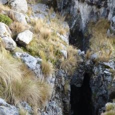
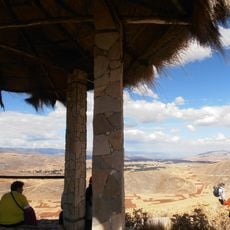
The district sits at high altitude, so visitors should allow time to adjust and bring plenty of water for the stay. The multiple neighborhoods are accessible on foot, though pathways and access points differ between areas.

The traditional dance Los Avelinos emerged during the War of the Pacific and received national heritage recognition in 2008. This dance remains a significant part of local celebrations and community identity today.

Location: Huancayo Province

Capital city: San Jerónimo de Tunán

Elevation above the sea: 3,274 m

Shares border with: Concepción District, Quichuay District, Ingenio District, Quilcas District, San Pedro de Saño District, Orcotuna District

GPS coordinates: -11.94919,-75.28441

Latest update: December 7, 2025 19:26

Photos
Reviews

Visited this place? Tap the stars to rate it and share your experience / photos with the community! Try now! You can cancel it anytime.

« San Jerónimo de Tunán District - Administrative district in Huancayo Province, Peru » is provided by Around Us (aroundus.com). Images and texts are derived from Wikimedia project under a Creative Commons license. You are allowed to copy, distribute, and modify copies of this page, under the conditions set by the license, as long as this note is clearly visible.

Discover hidden gems everywhere you go!

From secret cafés to breathtaking viewpoints, skip the crowded tourist spots and find places that match your style. Our app makes it easy with voice search, smart filtering, route optimization, and insider tips from travelers worldwide. Download now for the complete mobile experience.

Around Us App Screenshot

A unique approach to discovering new places

Le Figaro

All the places worth exploring

France Info

A tailor-made excursion in just a few clicks

20 Minutes