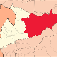
Huamalíes Province, Administrative province in Huánuco Department, Peru
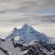
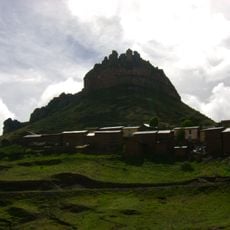
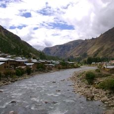
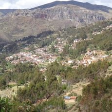
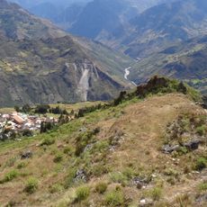
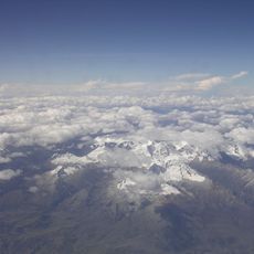
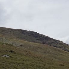
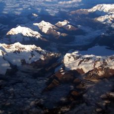
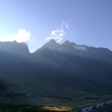
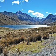
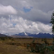
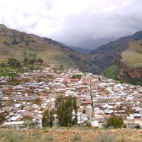
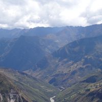
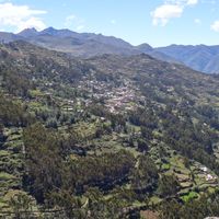
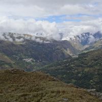
Huamalies Province is a mountainous territory in Peru featuring high peaks and expansive plateaus as its defining geographical features. The landscape consists of various elevation zones and valley systems that create the physical structure of the region.
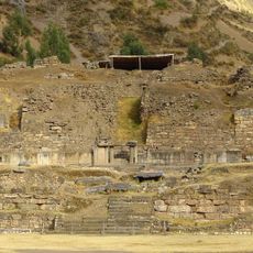
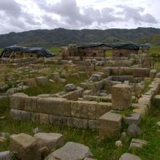
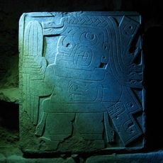
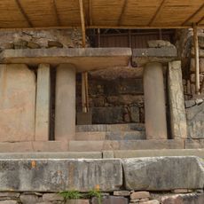
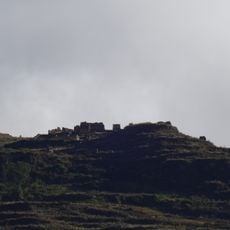
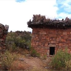
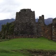
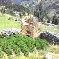
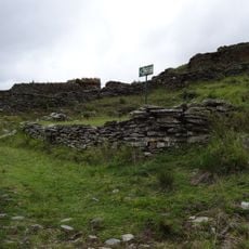
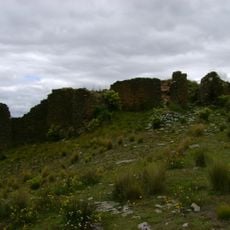
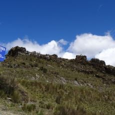
This territory grew from pre-Columbian settlements that developed across the mountain landscape over centuries. Archaeological sites scattered throughout document the presence of ancient peoples who lived here long before European contact.
More than half the residents here speak Quechua in daily life, reflecting the indigenous roots that run deep through the communities. The language shapes how people interact and pass down their traditions from one generation to the next.
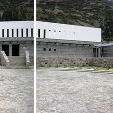
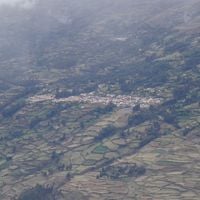
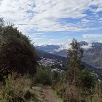
This province spreads across multiple administrative districts, with Llata serving as the central hub for transport and services. Visitors should expect variable weather conditions due to the high altitude, which brings cold nights and changing weather patterns.
The region features multiple elevation zones above 3000 meters (9,800 feet), where distinct climate conditions shape how people live and work. These height differences mean that communities throughout the territory adapt their daily practices to their specific surroundings.
The community of curious travelers
AroundUs brings together thousands of curated places, local tips, and hidden gems, enriched daily by 60,000 contributors worldwide.