Morro do Pico, Mountain summit in Pernambuco, Brazil
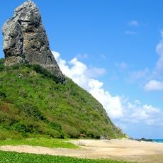
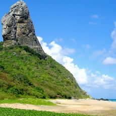
Morro do Pico is the highest point of Fernando de Noronha, an archipelago in Pernambuco, Brazil. It rises 321 metres above sea level on the island's northwestern side, beside Praia da Conceição. The summit is the tip of a volcanic massif that descends to about 4,000 metres below sea level, where its base is 60 kilometres wide.
Morro do Pico is the eroded summit of a large submarine volcanic mountain system that rises from the ocean floor at a depth of about 4,000 metres. Estimates for the origin of the Fernando de Noronha volcano range from 1.8 to 12.3 million years. The massif beneath the peak measures 60 kilometres across at its base.
The name Morro do Pico means "hilltop" in Portuguese, describing the island's highest point. The slopes of the massif host flora and fauna found only on Fernando de Noronha, and the peak is visible from every point on the island, making it a constant reference in local orientation.
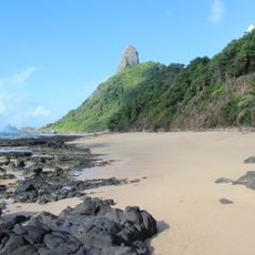
Morro do Pico lies on the northwestern part of Fernando de Noronha, beside Praia da Conceição, and is visible from every point on the island; on clear days it can be seen from thirty miles at sea. The 321 m summit is the island's highest point, reached on foot, so carry water and check conditions before setting out.
The 321-metre summit is only the tip of a volcanic massif rising from the ocean floor about 4,000 metres down; at its base the massif measures some 60 kilometres across. On clear days the peak can be seen from 30 miles away.
The community of curious travelers
AroundUs brings together thousands of curated places, local tips, and hidden gems, enriched daily by 94,613 contributors worldwide.