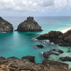
Fortificações na Ilha de Fernando de Noronha, Colonial fortress system in Fernando de Noronha archipelago, Brazil
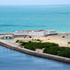
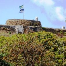
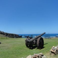
The fortress of Nossa Senhora dos Remédios sits on a hilltop between Santo António Bay and Cachorro Beach, built with thick stone walls and seven cannon batteries positioned strategically around the structure. The entire system was designed as one coordinated defense network to protect the archipelago from multiple approaches.
Portuguese authorities started construction of this defensive system in 1737 as a way to maintain control over the remote archipelago. The work took 41 years to complete due to the island's isolation, difficult conditions, and limited resources available for such a distant project.
The main courtyard shows how military life was organized, with buildings for soldiers, storage areas, and artillery pieces arranged around an open space. Walking through it, you get a sense of daily routines and the importance of this location for control of the waters nearby.
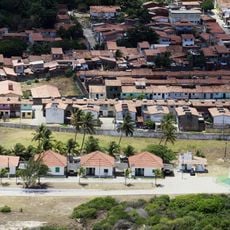
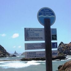
To reach the fortress, walk through Vila dos Remédios village and follow a stone path leading to the entrance marked by two sentinel cannons. The path has some stairs and steep sections, so wear comfortable shoes and bring water, especially on hot days.
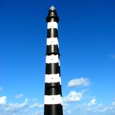
A conical tower within the complex measures roughly 19 meters at its base and 11 meters tall, with walls that taper from about 3.5 meters to 3 meters thick. This distinctive shape was deliberately designed to deflect cannon fire and withstand the relentless ocean winds and salt spray.
The community of curious travelers
AroundUs brings together thousands of curated places, local tips, and hidden gems, enriched daily by 60,000 contributors worldwide.