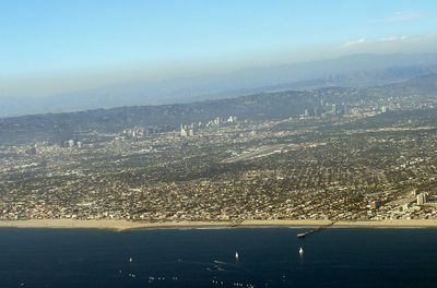
Westside, Geographic region in Los Angeles County, US
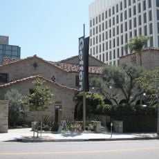
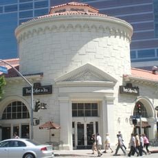
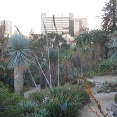
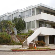
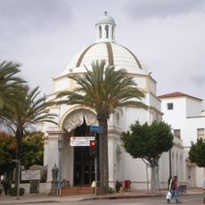
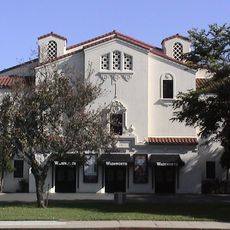
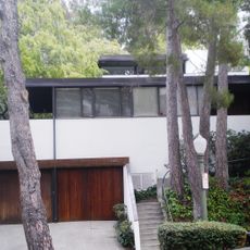
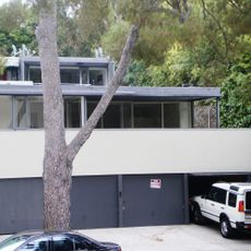
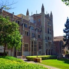
Westside is a region in Los Angeles County covering several neighborhoods between the Santa Monica Mountains and the Pacific Ocean, including Santa Monica, Westwood, Brentwood, and Culver City. The area extends across a mix of residential zones, business districts, beach sections, and hillsides, with each neighborhood having its own architectural character.
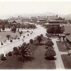
The region grew rapidly after World War II when the aerospace industry attracted thousands of workers and new housing developments appeared. This economic shift shaped the current structure of mixed residential neighborhoods and commercial zones.
The name refers to its position west of downtown and reflects how Angelenos mentally divide their city into regions. Many residents spend their time in local cafes, parks, and restaurants without traveling daily to other parts of Los Angeles.
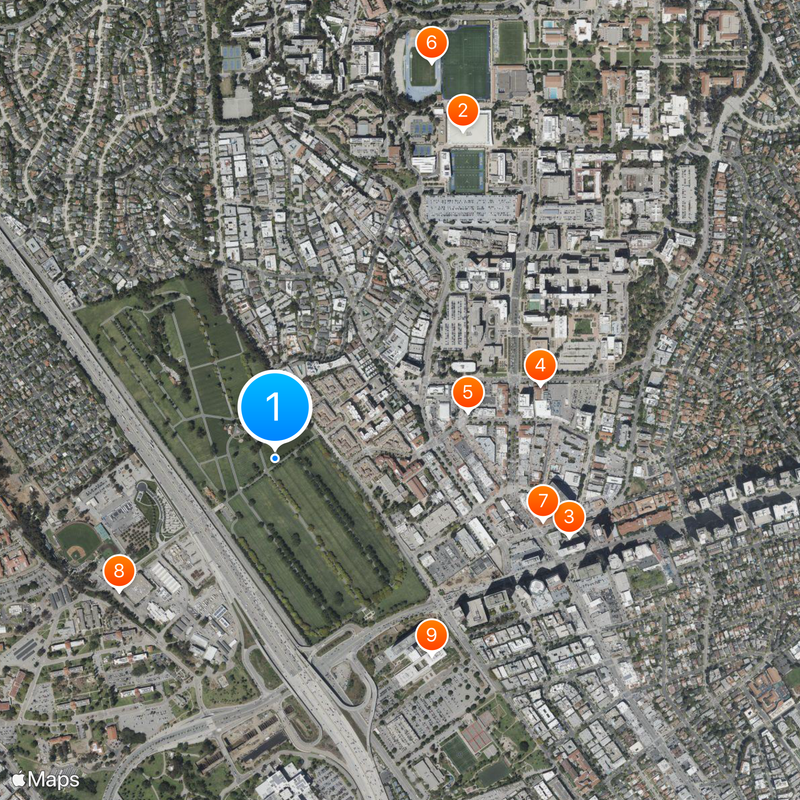
Interstate 405 and Santa Monica Boulevard connect the different neighborhoods, though traffic moves slowly during rush hours. Many destinations sit far apart, so visitors should plan travel times generously.
Over 300 residents submitted their own maps to define the exact boundaries, resulting in different interpretations of its extent. This disagreement shows that the area functions more as a felt region than an official administrative unit.
The community of curious travelers
AroundUs brings together thousands of curated places, local tips, and hidden gems, enriched daily by 60,000 contributors worldwide.