Sierra de Juárez

Log in to your account

AroundUs is a community-driven map of interesting places, built by curious explorers like you. It grows with every review, story, and photo you share.
Connect to save your favorite spots, contribute locations, and create personalized routes.
Continue with Google
Continue with Apple
Continue with X
Continue with Facebook
Continue with email
By continuing, you accept our Terms and Conditions and our Privacy Policy
Create an account

Sierra de Juárez

Add to collection
Map
Suggest a change
Share

Sierra de Juárez, Mountain range in Tecate and Ensenada, Mexico.

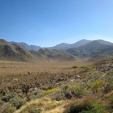
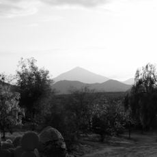
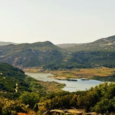
Sierra de Juárez is a mountain range extending southward from the California border that connects diverse landscapes. The range has multiple marked trails accessible from Tecate and Ensenada, passing through different elevations.

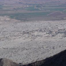
The range formed through tectonic activity when the Baja California peninsula separated from the North American Plate. This geological process shaped the current form of the region.

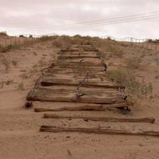
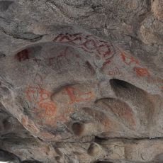
The park protects archaeological sites important to indigenous communities and maintains walking paths that local people have used for generations. These routes connect settlements and show how people integrate the mountains into their daily life.

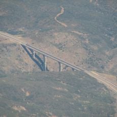
The mountains are accessible from Tecate and Ensenada with several marked trails for visitors. Warm clothing and proper equipment matter at higher elevations, especially during winter months.

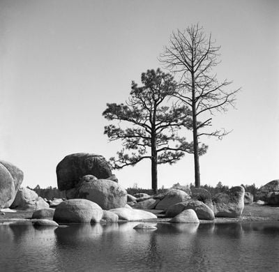
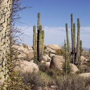
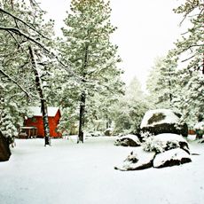
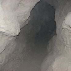
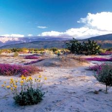
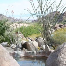
The mountains create a sky island effect where pine and cedar forests thrive above desert landscapes, supporting distinct ecosystems at different elevations. This patchwork structure makes the place biologically exceptional and allows visitors to experience multiple habitats in one location.

Location: Baja California

GPS coordinates: 32.25000,-115.83333

Latest update: December 6, 2025 16:02

Photos
Landscapes and nature of Baja California

Baja California is a Mexican peninsula that offers striking contrasts in its landscapes. Desert valleys meet sandy beaches, while marine reserves protect coastal waters. The region holds ancient cave paintings, volcanic peaks, and colonial-era buildings that tell stories of human settlement. Canyons...

Reviews

Visited this place? Tap the stars to rate it and share your experience / photos with the community! Try now! You can cancel it anytime.

« Sierra de Juárez - Mountain range in Tecate and Ensenada, Mexico » is provided by Around Us (aroundus.com). Images and texts are derived from Wikimedia project under a Creative Commons license. You are allowed to copy, distribute, and modify copies of this page, under the conditions set by the license, as long as this note is clearly visible.

Discover hidden gems everywhere you go!

From secret cafés to breathtaking viewpoints, skip the crowded tourist spots and find places that match your style. Our app makes it easy with voice search, smart filtering, route optimization, and insider tips from travelers worldwide. Download now for the complete mobile experience.

Around Us App Screenshot

A unique approach to discovering new places

Le Figaro

All the places worth exploring

France Info

A tailor-made excursion in just a few clicks

20 Minutes