
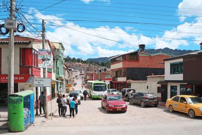
Sutatausa, Colombian municipality of the department of Cundinamarca
Location: Cundinamarca Department
Inception: 1557
Founders:
Elevation above the sea: 2,550 m
Website: http://sutatausa-cundinamarca.gov.co
GPS coordinates: 5.24722,-73.85250
Latest update: September 10, 2025 08:02
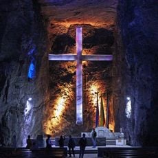
Salt Cathedral of Zipaquirá
30.8 km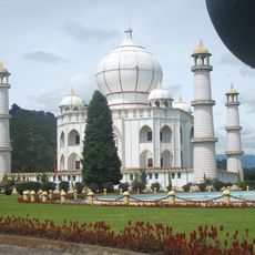
Jaime Duque
35.5 km
Puente de Boyacá
52 km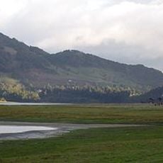
Forest Reserve Thomas van der Hammen
59.1 km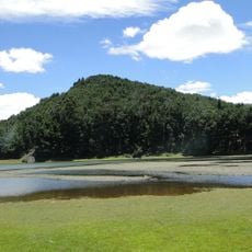
Embalse del Neusa
18.1 km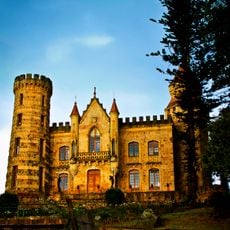
Castillo Marroquín
46.9 km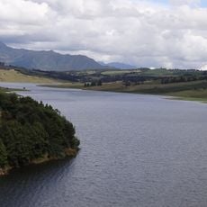
Represa del Sisga
24.3 km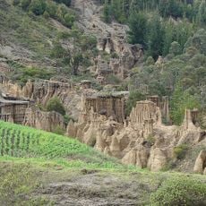
Candelaria Desert
46.5 km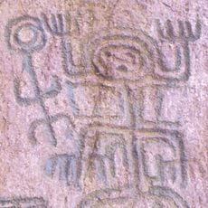
El Abra
27.8 km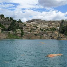
Gondava
52.8 km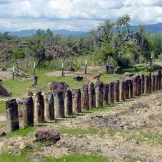
El Infiernito
55.2 km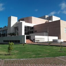
Biblioteca Pública Julio Mario Santo Domingo
59.4 km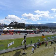
Autódromo de Tocancipá
33.6 km
Puente del Común
48 km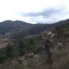
Páramo de Guerrero
34.9 km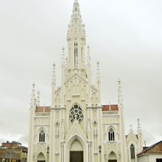
Basílica del Santo Cristo de Ubaté
7.9 km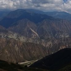
Paja Formation
48.1 km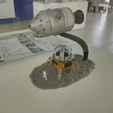
Museo Aeroespacial Fuerza Aeroespacial Colombiana
35.3 km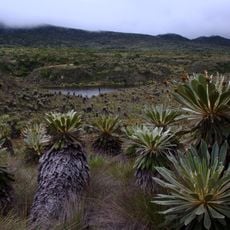
Páramo de Guacheneque
40.6 km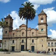
Cathedral of the Most Holy Trinity, Zipaquirá
30 km
Moon Temple
49.4 km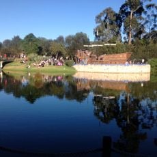
Centro Chía
47.1 km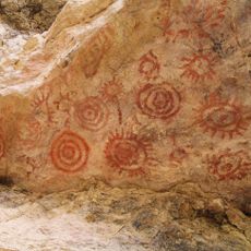
Yacimiento rupestre de Sáchica
53.2 km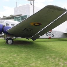
Colombian Aerospace Museum
35.2 km
Lac del Neusa
15.9 km
Tominé Reservoir
32.7 km
Lac del Sisga
24.3 km
Museo de la llanta
57.7 kmVisited this place? Tap the stars to rate it and share your experience / photos with the community! Try now! You can cancel it anytime.
Discover hidden gems everywhere you go!
From secret cafés to breathtaking viewpoints, skip the crowded tourist spots and find places that match your style. Our app makes it easy with voice search, smart filtering, route optimization, and insider tips from travelers worldwide. Download now for the complete mobile experience.

A unique approach to discovering new places❞
— Le Figaro
All the places worth exploring❞
— France Info
A tailor-made excursion in just a few clicks❞
— 20 Minutes