Bocas del Toro District, Administrative district on Caribbean coast, Panama.
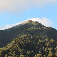
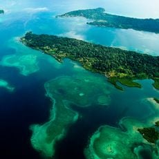
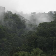
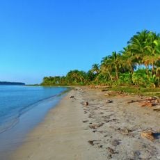
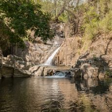
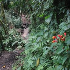
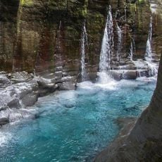
Bocas del Toro District is an island group in the Caribbean with dense rainforests, mangrove swamps, and scattered coastal settlements spread across about 433 square kilometers. Five administrative subdivisions divide the region and manage different geographical zones and local governance.
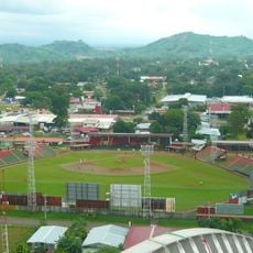
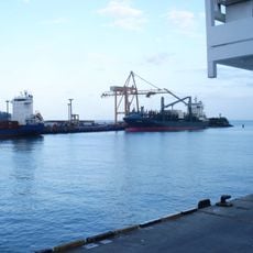
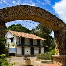
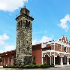
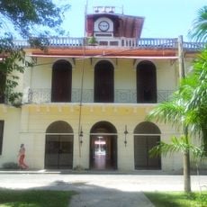
After Panama became independent in 1903, this area was organized as an important administrative region and grew through maritime and agricultural trade. Its location at a crossroads of regional commerce made it increasingly significant.
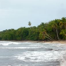
Local communities keep Caribbean traditions alive through music, festivals, and cooking that blends seafood with African and indigenous influences. These practices shape how people gather and celebrate throughout the islands.
The islands are mainly reached by water taxis and small boats that run regularly between main settlements. Travelers should expect to rely on water transport and check schedules, as service can vary with weather conditions.
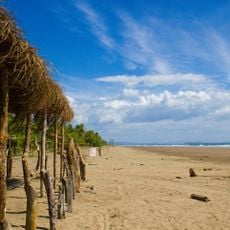
Coconut plantations have shaped the landscape for over a century and were once the economic backbone of the region. Today their remains dot the islands, a quiet reminder of an earlier period of prosperity.
The community of curious travelers
AroundUs brings together thousands of curated places, local tips, and hidden gems, enriched daily by 60,000 contributors worldwide.