Chest opened
+${chestReward.xp} XP
Explorer
NOUVEAU ×${chestReward.collectible.quantity}
tapez pour fermer
Chest locked

Open chests in the app

Around Us is built for your phone — chests unlock when you walk, explore and capture nearby places.

Enable Location

We need your location to show you interesting places around you

Discover nearby places

Find interesting locations and hidden gems around you

Precise directions

Get accurate directions and distances to places

Your location is never shared with other users. It's only used when you tap the location button.

Municipality of Angamacutiro

Log in to your account

Start exploring — it's free

Trusted by 73,090 travelers worldwide

Continue with Google
Continue with Apple
or

We will send you a code to connect

By continuing, you accept our Terms and Conditions and our Privacy Policy

Check your inbox

We've sent a pincode in your inbox. Please enter the code below.

Municipality of Angamacutiro
Discussion Reviews 1 Photos
4.2k Popularity

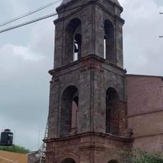
Municipality of Angamacutiro, Administrative municipality in northern Michoacán, Mexico

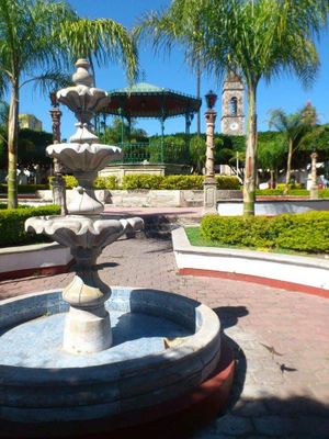
Municipality of Angamacutiro is an administrative county in northern Michoacán along the Río Lerma. The area contains multiple villages and communities spread across the region, each serving as a local settlement.

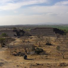
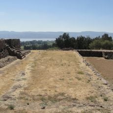
The area was founded in 1323 by Otomi people from Guanajuato, and the municipality was officially established in 1831 through state decree. These two founding moments created the administrative structure that exists today.

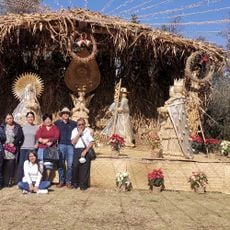
The name Angamacutiro originates from indigenous languages and refers to the area's location near a canyon. Local communities maintain connections to their roots through traditional practices tied to the river and land.

When visiting, be prepared for roads that may vary in condition depending on the season. The best time to explore is during the dry season when access to different areas is easier.

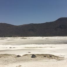
The river system in this region draws from multiple waterways that flow through the landscape and have supported local farming for generations. This natural infrastructure remains essential to the survival and prosperity of the communities here.

The community of curious travelers

AroundUs brings together thousands of curated places, local tips, and hidden gems, enriched daily by 60,000 contributors worldwide.

Start exploring
Location
Río Lerma
Location
Address
Angamacutiro de la Unión, Michoacán, Mexico
GPS coordinates
20.14008,-101.72568
Latest update
December 11, 2025 11:06
Reviews
Share your experience

No review yet

Discussions
Start a discussion...

No discussion yet

« Municipality of Angamacutiro - Administrative municipality in northern Michoacán, Mexico » is provided by Around Us (aroundus.com). Images and texts are derived from Wikimedia project under a Creative Commons license. You are allowed to copy, distribute, and modify copies of this page, under the conditions set by the license, as long as this note is clearly visible.

Discover hidden gems everywhere you go!

From secret cafés to breathtaking viewpoints, skip the crowded tourist spots and find places that match your style. Our app makes it easy with voice search, smart filtering, route optimization, and insider tips from travelers worldwide. Download now for the complete mobile experience.

Around Us App Screenshot

A unique approach to discovering new places

Le Figaro

All the places worth exploring

France Info

A tailor-made excursion in just a few clicks

20 Minutes

Around Us
Travel Guide & Maps
Download

Send to your phone

QR Code
1

Open the camera app on your mobile.

2

Point at the QR code with your camera. A notification will appear.

3

Tap the notification to open the link.