Chest opened
+${chestReward.xp} XP
Explorer
NOUVEAU ×${chestReward.collectible.quantity}
tapez pour fermer
Chest locked

Open chests in the app

Around Us is built for your phone — chests unlock when you walk, explore and capture nearby places.

Enable Location

We need your location to show you interesting places around you

Discover nearby places

Find interesting locations and hidden gems around you

Precise directions

Get accurate directions and distances to places

Your location is never shared with other users. It's only used when you tap the location button.

Liberty Square

Log in to your account

Start exploring — it's free

Trusted by 72,878 travelers worldwide

Continue with Google
Continue with Apple
or

We will send you a code to connect

By continuing, you accept our Terms and Conditions and our Privacy Policy

Check your inbox

We've sent a pincode in your inbox. Please enter the code below.

Liberty Square
Discussion Reviews 1 Photos
31.9k Popularity

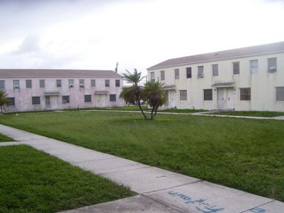
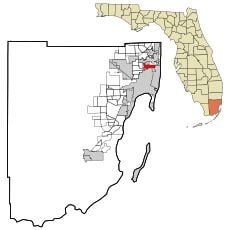
Liberty Square, Public housing development in Liberty City, Miami, US.

Liberty Square is a housing development in the Liberty City neighborhood with residential units arranged between North 62nd Street and North 67th Street, bordered by Northwest 12th and 15th Avenues. The development contains approximately 750 residential units organized in a structured block pattern.

The development was established in 1937 during the New Deal era and was the first public housing project for African Americans in the South. This founding marked a turning point in housing policy by offering families who had previously been denied access a new opportunity.

The name reflects freedom and represents for residents access to stable housing that many families would not have otherwise obtained. The community uses this space as an important social gathering point where neighbors come together and share their stories.

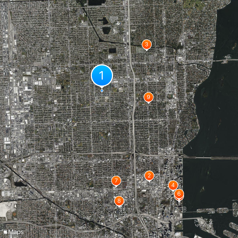
The area is well connected to local schools, parks, and transportation networks that serve daily community needs. Visitors should explore the area during daylight hours and can orient themselves by the local activity centers and neighborhood facilities.

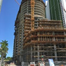
Since 2015, the development has undergone significant transformation through the Liberty City Rising initiative, which brings new investment and mixed-income housing. This renewal reshapes the neighborhood's character while preserving its heritage and community identity.

The community of curious travelers

AroundUs brings together thousands of curated places, local tips, and hidden gems, enriched daily by 60,000 contributors worldwide.

Start exploring
Location
GPS coordinates
25.83610,-80.22000
Latest update
December 20, 2025 00:53
Around this place
Wynwood Walls
United States of America

Wynwood Walls

4.4 km
Cathedral of Saint Mary
United States of America

Cathedral of Saint Mary

2.6 km
Bacardi Building
United States of America

Bacardi Building

5.3 km
Aria on the Bay
United States of America

Aria on the Bay

5.8 km
1800 Club
United States of America

1800 Club

5.7 km
Superblue Miami
United States of America

Superblue Miami

4.2 km
Miami City Hospital, Building No. 1
United States of America

Miami City Hospital, Building No. 1

5 km
Miami Edison Middle School
United States of America

Miami Edison Middle School

2.1 km
Paramount Bay at Edgewater Square
United States of America

Paramount Bay at Edgewater Square

5.5 km
Blue on the Bay
United States of America

Blue on the Bay

4.4 km
Biscayne Beach
United States of America

Biscayne Beach

4.9 km
St. John's Baptist Church
United States of America

St. John's Baptist Church

5.8 km
First Church of Christ, Scientist
United States of America

First Church of Christ, Scientist

5.8 km
Aviation Building
United States of America

Aviation Building

4 km
Icon Bay
United States of America

Icon Bay

4.9 km
Lemon City Branch Library
United States of America

Lemon City Branch Library

3.3 km
Boulevard Theater
United States of America

Boulevard Theater

3.7 km
Halissee Hall
United States of America

Halissee Hall

5.3 km
Algonquin Apartments
United States of America

Algonquin Apartments

5.7 km
Bay Shore Historic District
United States of America

Bay Shore Historic District

3.8 km
Miami Shores Thematic Resource
United States of America

Miami Shores Thematic Resource

3.9 km
Grand Concourse Apartments
United States of America

Grand Concourse Apartments

4.4 km
Rubell Museum
United States of America

Rubell Museum

4.2 km
Priscilla Apartments
United States of America

Priscilla Apartments

5.6 km
Paradox Museum Miami
United States of America

Paradox Museum Miami

4.8 km
Museum of Graffiti
United States of America

Museum of Graffiti

4.4 km
The Margulies Collection at the Warehouse
United States of America

The Margulies Collection at the Warehouse

4.1 km
Haitian Heritage Museum
United States of America

Haitian Heritage Museum

3.8 km
Show the full map
Reviews
Share your experience

No review yet

Discussions
Start a discussion...

No discussion yet

« Liberty Square - Public housing development in Liberty City, Miami, US » is provided by Around Us (aroundus.com). Images and texts are derived from Wikimedia project under a Creative Commons license. You are allowed to copy, distribute, and modify copies of this page, under the conditions set by the license, as long as this note is clearly visible.

Discover hidden gems everywhere you go!

From secret cafés to breathtaking viewpoints, skip the crowded tourist spots and find places that match your style. Our app makes it easy with voice search, smart filtering, route optimization, and insider tips from travelers worldwide. Download now for the complete mobile experience.

Around Us App Screenshot

A unique approach to discovering new places

Le Figaro

All the places worth exploring

France Info

A tailor-made excursion in just a few clicks

20 Minutes

Around Us
Travel Guide & Maps
Download

Send to your phone

QR Code
1

Open the camera app on your mobile.

2

Point at the QR code with your camera. A notification will appear.

3

Tap the notification to open the link.