Chest opened
+${chestReward.xp} XP
Explorer
NOUVEAU ×${chestReward.collectible.quantity}
tapez pour fermer
Chest locked

Open chests in the app

Around Us is built for your phone — chests unlock when you walk, explore and capture nearby places.

Enable Location

We need your location to show you interesting places around you

Discover nearby places

Find interesting locations and hidden gems around you

Precise directions

Get accurate directions and distances to places

Your location is never shared with other users. It's only used when you tap the location button.

Log in to your account

Start exploring — it's free

Trusted by 72,876 travelers worldwide

Continue with Google
Continue with Apple
or

We will send you a code to connect

By continuing, you accept our Terms and Conditions and our Privacy Policy

Check your inbox

We've sent a pincode in your inbox. Please enter the code below.

Discussion Reviews Photo
18.6k Popularity

Ladson, Census-designated place in Berkeley, Charleston, and Dorchester counties, United States.

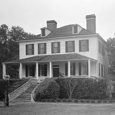
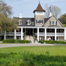
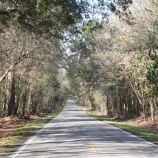
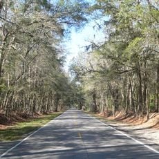
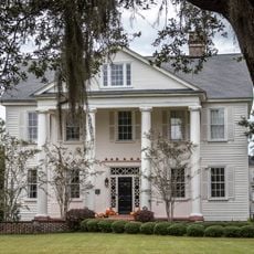
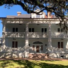
Ladson is a locality that stretches across three counties in South Carolina and sits between larger cities like Summerville and North Charleston. The area consists mostly of residential neighborhoods with single-family homes.

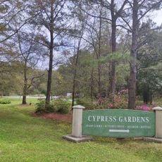
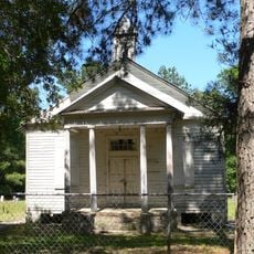
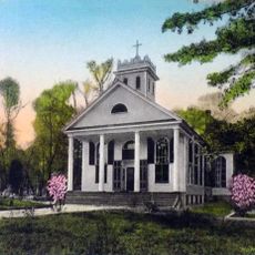
The name comes from the Ladson family, who settled in the area and became known in Charleston's merchant community. The settlement grew from this early presence into the modern residential area it is today.

The population of 15,550 residents represents a diverse mix of White, African American, and Hispanic communities living in suburban neighborhoods.

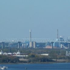
Interstate 26 and U.S. Route 78 provide direct connections to the Charleston metropolitan area, making travel easy for visitors. This location works well as a base for exploring both the local area and nearby cities.

The area maintains a population density of 2,572 people per square mile while preserving its suburban character with 68 percent owner-occupied housing.

The community of curious travelers

AroundUs brings together thousands of curated places, local tips, and hidden gems, enriched daily by 60,000 contributors worldwide.

Start exploring
Location
Elevation above the sea
15 m
GPS coordinates
33.00944,-80.10556
Latest update
March 4, 2026 16:17
Around this place
Magnolia Plantation and Gardens
United States of America

Magnolia Plantation and Gardens

15 km
Drayton Hall
United States of America

Drayton Hall

15.7 km
Middleton Place
United States of America

Middleton Place

12.4 km
Charleston Naval Shipyard
United States of America

Charleston Naval Shipyard

21.2 km
Mepkin Abbey
United States of America

Mepkin Abbey

18.8 km
Lewisfield Plantation
United States of America

Lewisfield Plantation

19.7 km
Blackbaud Stadium
United States of America

Blackbaud Stadium

23.2 km
Magnolia Plantation
United States of America

Magnolia Plantation

14.9 km
Cypress Gardens
United States of America

Cypress Gardens

15.2 km
Edmondston-Alston House
United States of America

Edmondston-Alston House

15.7 km
Medway
United States of America

Medway

12.8 km
Colonial Dorchester State Historic Site
United States of America

Colonial Dorchester State Historic Site

9.1 km
Mulberry Plantation
United States of America

Mulberry Plantation

16.9 km
Don N. Holt Bridge
United States of America

Don N. Holt Bridge

18.7 km
Warren Lasch Conservation Center
United States of America

Warren Lasch Conservation Center

21.9 km
South Carolina Highway 61
United States of America

South Carolina Highway 61

13 km
Cypress Gardens
United States of America

Cypress Gardens

14.9 km
Ashley River Historic District
United States of America

Ashley River Historic District

10.9 km
General William C. Westmoreland Bridge
United States of America

General William C. Westmoreland Bridge

20.9 km
St. Andrews Episcopal Church
United States of America

St. Andrews Episcopal Church

19.7 km
Old White Meeting House Ruins and Cemetery
United States of America

Old White Meeting House Ruins and Cemetery

9.7 km
Gippy Plantation
United States of America

Gippy Plantation

20.3 km
Charleston Navy Yard Officers' Quarters Historic District
United States of America

Charleston Navy Yard Officers' Quarters Historic District

20.2 km
Cypress Methodist Camp Ground
United States of America

Cypress Methodist Camp Ground

12.4 km
White Church
United States of America

White Church

23.8 km
Taveau Church
United States of America

Taveau Church

18.9 km
St. Paul's Church
United States of America

St. Paul's Church

7.7 km
Regal Charles Towne Square Stadium 18
United States of America

Regal Charles Towne Square Stadium 18

17 km
Show the full map
Reviews
Share your experience

No review yet

Discussions
Start a discussion...

No discussion yet

« Ladson - Census-designated place in Berkeley, Charleston, and Dorchester counties, United States » is provided by Around Us (aroundus.com). Images and texts are derived from Wikimedia project under a Creative Commons license. You are allowed to copy, distribute, and modify copies of this page, under the conditions set by the license, as long as this note is clearly visible.

Discover hidden gems everywhere you go!

From secret cafés to breathtaking viewpoints, skip the crowded tourist spots and find places that match your style. Our app makes it easy with voice search, smart filtering, route optimization, and insider tips from travelers worldwide. Download now for the complete mobile experience.

Around Us App Screenshot

A unique approach to discovering new places

Le Figaro

All the places worth exploring

France Info

A tailor-made excursion in just a few clicks

20 Minutes

Around Us
Travel Guide & Maps
Download

Send to your phone

QR Code
1

Open the camera app on your mobile.

2

Point at the QR code with your camera. A notification will appear.

3

Tap the notification to open the link.