Enable Location

We need your location to show you interesting places around you

Discover nearby places

Find interesting locations and hidden gems around you

Precise directions

Get accurate directions and distances to places

Your location is never shared with other users. It's only used when you tap the location button.

Holly Hill

Log in to your account

Start exploring — it's free

Trusted by 63,699 travelers worldwide

Continue with Google
Continue with Apple
or

We will send you a code to connect

By continuing, you accept our Terms and Conditions and our Privacy Policy

Check your inbox

We've sent a pincode in your inbox. Please enter the code below.

Discussion Reviews 1 Photos
15.8k Popularity

Holly Hill, human settlement in Orangeburg County, South Carolina, United States of America

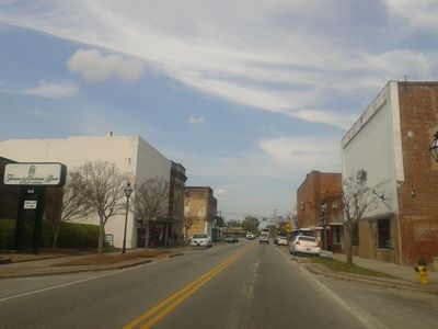
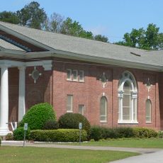
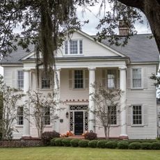
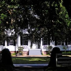
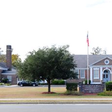
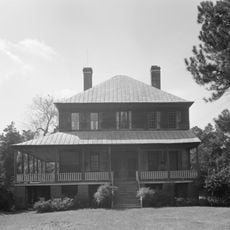
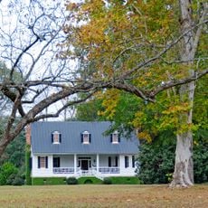
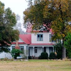
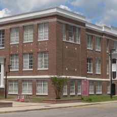
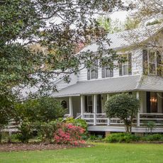
Holly Hill is a small town in the eastern part of Orangeburg County, South Carolina, located on US Route 176. The town covers less than two square miles and features simple residential homes, small shops, and historic buildings arranged along quiet streets.

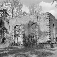
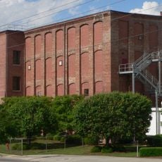
Holly Hill was founded in the 1880s and was originally part of Berkeley County before becoming part of Orangeburg County in 1910. The arrival of the railroad in 1886 spurred the town's growth, leading to the establishment of industries such as a turpentine factory.

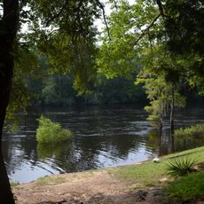
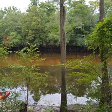
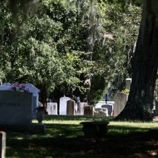
The town takes its name from holly trees and the local hills, reflecting the community's connection to the landscape. Residents value long-standing traditions and gather for local events, maintaining a close-knit social fabric where families have lived for generations.

The town is easily accessible via US Route 176 and lies near Highways I-95 and I-26, making travel from larger cities straightforward. Holly Hill has a small airport coded 5J5 for private aircraft and is also connected by public bus routes to the Orangeburg County network.

The town was home to Frank Culbertson, a former NASA astronaut and commander of the International Space Station, who graduated from high school here. Additionally, Holly Hill is known for a historic holly tree that stood at a street corner in 1886 and was about 50 feet (15 meters) tall before being removed in the 1950s.

The community of curious travelers

AroundUs brings together thousands of curated places, local tips, and hidden gems, enriched daily by 60,000 contributors worldwide.

Start exploring
Elevation above the sea
32 m
GPS coordinates
33.31667,-80.41667
Latest update
February 19, 2026 23:20
Around this place
United States of America

Lake Marion

22.3 km
Lewisfield Plantation
United States of America

Lewisfield Plantation

43.1 km
Oliver C. Dawson Stadium
United States of America

Oliver C. Dawson Stadium

44.6 km
Francis Beidler Forest
United States of America

Francis Beidler Forest

10.6 km
Mulberry Plantation
United States of America

Mulberry Plantation

41.9 km
Givhans Ferry State Park
United States of America

Givhans Ferry State Park

31.9 km
Santee National Wildlife Refuge
United States of America

Santee National Wildlife Refuge

23.8 km
Biggin Church
United States of America

Biggin Church

43.5 km
Indian Fields Methodist Campground
United States of America

Indian Fields Methodist Campground

15.9 km
Colleton State Park
United States of America

Colleton State Park

33.8 km
Old White Meeting House Ruins and Cemetery
United States of America

Old White Meeting House Ruins and Cemetery

44.2 km
Santee Indian Mound and Fort Watson
United States of America

Santee Indian Mound and Fort Watson

24.8 km
Providence Methodist Church
United States of America

Providence Methodist Church

14.4 km
Gippy Plantation
United States of America

Gippy Plantation

41.5 km
Davis House
United States of America

Davis House

41.4 km
Summerton High School
United States of America

Summerton High School

33 km
Lawson's Pond Plantation
United States of America

Lawson's Pond Plantation

19 km
Lowman Hall, South Carolina State College
United States of America

Lowman Hall, South Carolina State College

45.2 km
Ulmer-Summers House
United States of America

Ulmer-Summers House

38.9 km
Cypress Methodist Camp Ground
United States of America

Cypress Methodist Camp Ground

32.6 km
Haigler House
United States of America

Haigler House

36.8 km
Numertia Plantation
United States of America

Numertia Plantation

14.9 km
Hodge Hall
United States of America

Hodge Hall

45.2 km
Pineville Historic District
United States of America

Pineville Historic District

36.8 km
Donald Bruce House
United States of America

Donald Bruce House

41.1 km
Appleby's Methodist Church
United States of America

Appleby's Methodist Church

29.6 km
Enterprise Cotton Mills Building
United States of America

Enterprise Cotton Mills Building

44.8 km
William Robertson House
United States of America

William Robertson House

36.6 km
Show the full map
Reviews
Share your experience

No review yet

Discussions
Start a discussion...

No discussion yet

« Holly Hill - human settlement in Orangeburg County, South Carolina, United States of America » is provided by Around Us (aroundus.com). Images and texts are derived from Wikimedia project under a Creative Commons license. You are allowed to copy, distribute, and modify copies of this page, under the conditions set by the license, as long as this note is clearly visible.

Discover hidden gems everywhere you go!

From secret cafés to breathtaking viewpoints, skip the crowded tourist spots and find places that match your style. Our app makes it easy with voice search, smart filtering, route optimization, and insider tips from travelers worldwide. Download now for the complete mobile experience.

Around Us App Screenshot

A unique approach to discovering new places

Le Figaro

All the places worth exploring

France Info

A tailor-made excursion in just a few clicks

20 Minutes

Around Us
Travel Guide & Maps
Download

Send to your phone

QR Code
1

Open the camera app on your mobile.

2

Point at the QR code with your camera. A notification will appear.

3

Tap the notification to open the link.