Chest opened
+${chestReward.xp} XP
Explorer
NOUVEAU ×${chestReward.collectible.quantity}
tapez pour fermer

See the monuments around you in AR Open chests in the app

Around Us is built for your phone — point your camera at the streets and discover the monuments and places around you in augmented reality. Around Us is built for your phone — chests unlock when you walk, explore and capture nearby places.

Enable Location

We need your location to show you interesting places around you

Discover nearby places

Find interesting locations and hidden gems around you

Precise directions

Get accurate directions and distances to places

Your location is never shared with other users. It's only used when you tap the location button.

Duncans Point

Log in to your account

Start exploring — it's free

Trusted by 85,327 travelers worldwide

Continue with Google
Continue with Apple
or

We will send you a code to connect

By continuing, you accept our Terms and Conditions and our Privacy Policy

Check your inbox

We've sent a pincode in your inbox. Please enter the code below.

Discussion Reviews 1 Photos
1.7k Popularity

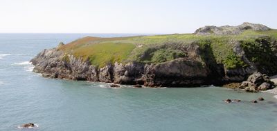
Duncans Point, Cape and archaeological site in Sonoma Coast State Park, California, United States.

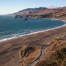
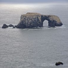
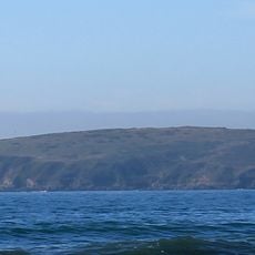
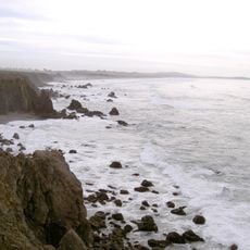
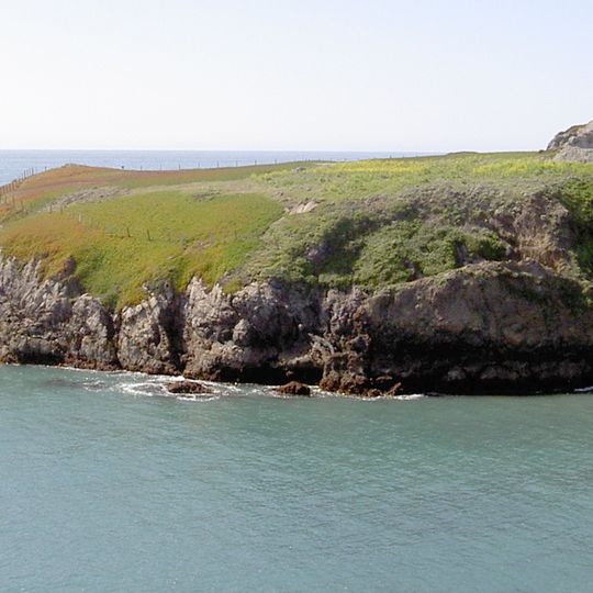
Duncans Point is a granite cape on the Sonoma Coast that extends roughly 300 yards into the Pacific Ocean, sheltering the rocky inlet of Duncans Landing below. The rocky formation rises along a rugged shoreline where stone ledges and crevices create a complex natural landscape.

The location was significant for the Pomo peoples and received National Historic Landmark status in 1971. Excavations have uncovered fossils and remains spanning thousands of years, documenting how the environment shifted over time.

The site marks the former southern boundary of Pomo territory and received National Historic Landmark status in 1971 for its archaeological value.

Access is via State Route 1 running along the coast nearby. Visitors should keep well back from Duncans Landing itself, as strong currents and heavy wave action make it hazardous to approach.

The cave here revealed remains of the Sewellel, a rare rodent now found only in forests of the Pacific coast. This discovery shows the animal once lived across a much wider area of Northern California than it does today.

The community of curious travelers

AroundUs brings together thousands of curated places, local tips, and hidden gems, enriched daily by 60,000 contributors worldwide.
Start exploring
Location
GPS coordinates
38.39300,-123.09470
Latest update
August 30, 2026 22:23
Around this place
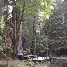
Bohemian Grove
United States of America

Bohemian Grove

7.2 mi
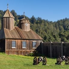
Fort Ross
United States of America

Fort Ross

11.6 mi
Bodega Bay
United States of America

Bodega Bay

9.6 mi
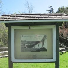
Running Fence
United States of America

Running Fence

10.6 mi
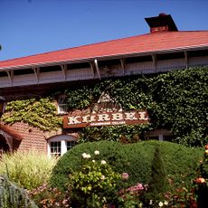
Korbel Champagne Cellars
United States of America

Korbel Champagne Cellars

10.5 mi
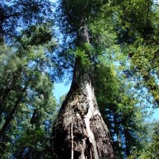
Armstrong Redwoods State Natural Reserve
United States of America

Armstrong Redwoods State Natural Reserve

11.2 mi
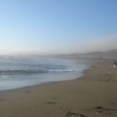
Goat Rock Beach
United States of America

Goat Rock Beach

4.1 mi
Sonoma Coast State Park
United States of America

Sonoma Coast State Park

2 mi
Greater Farallones National Marine Sanctuary
United States of America

Greater Farallones National Marine Sanctuary

10.2 mi
Bodega Head
United States of America

Bodega Head

5.9 mi
Bodega Marine Reserve
United States of America

Bodega Marine Reserve

6.1 mi
Austin Creek State Recreation Area
United States of America

Austin Creek State Recreation Area

12.2 mi
Doran Regional Park
United States of America

Doran Regional Park

6.1 mi
Kistler Vineyards
United States of America

Kistler Vineyards

13.5 mi
Bodega Harbor
United States of America

Bodega Harbor

5.4 mi
Sonoma Coast State Marine Conservation Area
United States of America

Sonoma Coast State Marine Conservation Area

3.4 mi
Luther Burbank's Gold Ridge Experiment Farm
United States of America

Luther Burbank's Gold Ridge Experiment Farm

14.1 mi
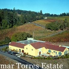
Marimar Estate
United States of America

Marimar Estate

10.6 mi
United States of America

Estero Americano State Marine Recreational Management Area

8.4 mi
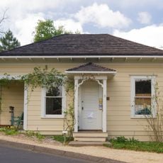
Rotchev House
United States of America

Rotchev House

11.7 mi
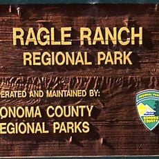
Ragle Ranch Regional Park
United States of America

Ragle Ranch Regional Park

13.2 mi
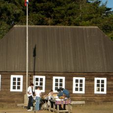
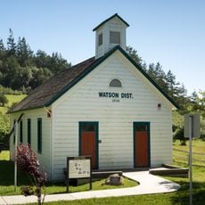
Watson School
United States of America

Watson School

8.9 mi
United States of America

Estero de San Antonio State Marine Recreational Management Area

10.6 mi
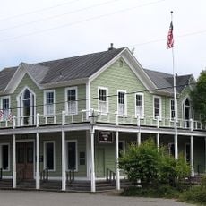
Hinds Hotel
United States of America

Hinds Hotel

12.8 mi
Doran Beach
United States of America

Doran Beach

6.2 mi
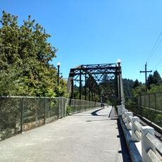
Guerneville Bridge
United States of America

Guerneville Bridge

9.2 mi
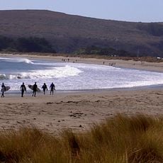
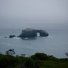
Arched Rock Beach
United States of America

Arched Rock Beach

2.1 mi
Wohler Bridge
United States of America

Wohler Bridge

13.9 mi
Show the full map
Reviews
Share your experience

No review yet

Discussions
Start a discussion...

No discussion yet

« Duncans Point - Cape and archaeological site in Sonoma Coast State Park, California, United States » is provided by Around Us (aroundus.com). Images and texts are derived from Wikimedia project under a Creative Commons license. You are allowed to copy, distribute, and modify copies of this page, under the conditions set by the license, as long as this note is clearly visible.

Discover hidden gems everywhere you go!

From secret cafés to breathtaking viewpoints, skip the crowded tourist spots and find places that match your style. Our app makes it easy with voice search, smart filtering, route optimization, and insider tips from travelers worldwide. Download now for the complete mobile experience.
Around Us App Screenshot

A unique approach to discovering new places

Le Figaro

All the places worth exploring

France Info

A tailor-made excursion in just a few clicks

20 Minutes

Around Us
Travel Guide & Maps
Download

Send to your phone

QR Code
1

Open the camera app on your mobile.

2

Point at the QR code with your camera. A notification will appear.

3

Tap the notification to open the link.