Chest opened
+${chestReward.xp} XP
Explorer
NOUVEAU ×${chestReward.collectible.quantity}
tapez pour fermer
Chest locked

Open chests in the app

Around Us is built for your phone — chests unlock when you walk, explore and capture nearby places.

Enable Location

We need your location to show you interesting places around you

Discover nearby places

Find interesting locations and hidden gems around you

Precise directions

Get accurate directions and distances to places

Your location is never shared with other users. It's only used when you tap the location button.

Monterey Peninsula

Log in to your account

Start exploring — it's free

Trusted by 72,979 travelers worldwide

Continue with Google
Continue with Apple
or

We will send you a code to connect

By continuing, you accept our Terms and Conditions and our Privacy Policy

Check your inbox

We've sent a pincode in your inbox. Please enter the code below.

Monterey Peninsula
Discussion Reviews 1 Photos
35.9k Popularity

Monterey Peninsula, Coastal peninsula in California, United States.

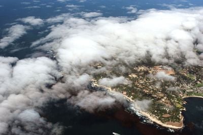
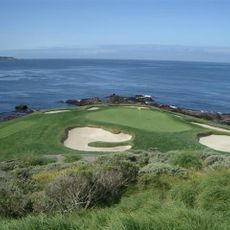
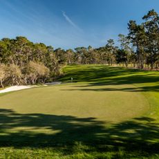
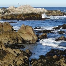
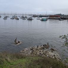
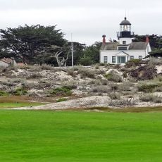
Monterey Peninsula juts into the Pacific with steep rocky cliffs, sandy shores, and pine forests lining the coastline. The landscape varies across its length, with rocky coves, secluded bays, and wooded areas that give each part its own character.

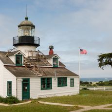
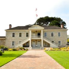
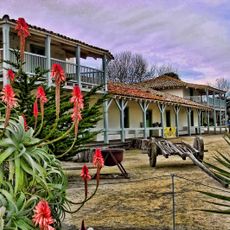
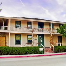
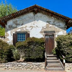
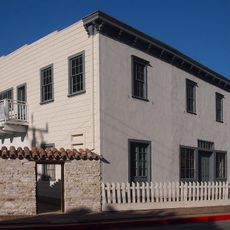
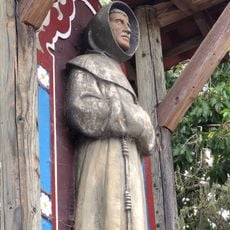
The peninsula was established in 1770 when Spanish missionaries and explorers built the Presidio of Monterey, marking the start of European settlement on this coast. This early founding made it a key center for Spanish colonial activities along California.

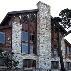
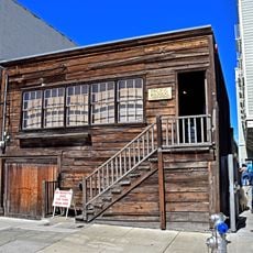
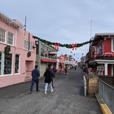
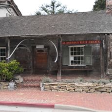
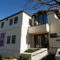
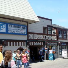
The peninsula is a hub for artists and creative communities, with galleries and theaters scattered across Monterey and Carmel that visitors encounter throughout their visit. This artistic tradition shapes how locals and visitors experience the coastal towns.

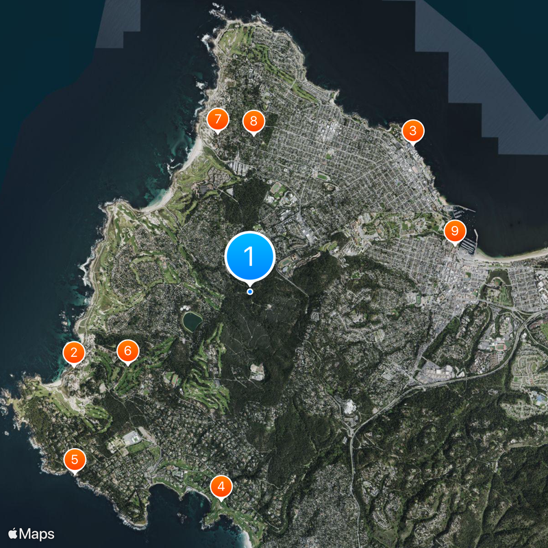
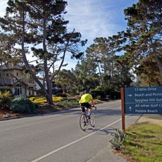
Access is straightforward with several entry points and parking areas throughout the region, and the 17-Mile Drive provides a scenic route with multiple stops. Wear sturdy shoes since many paths cross rocky and uneven ground.

Just offshore near Moss Landing, the seafloor suddenly drops into the Monterey Canyon, reaching depths comparable to the Grand Canyon. This underwater canyon is one of the Pacific's deepest and shapes the marine life that appears along the coast.

The community of curious travelers

AroundUs brings together thousands of curated places, local tips, and hidden gems, enriched daily by 60,000 contributors worldwide.

Start exploring
Location
GPS coordinates
36.59600,-121.93200
Latest update
December 17, 2025 11:18
Around this place
17-Mile Drive
United States of America

17-Mile Drive

3.2 km
Monterey Bay Aquarium
United States of America

Monterey Bay Aquarium

3.7 km
Pebble Beach Golf Links
United States of America

Pebble Beach Golf Links

3.5 km
Lone Cypress
United States of America

Lone Cypress

4.2 km
United States of America

Spyglass Hill Golf Course

2.4 km
Asilomar State Beach
United States of America

Asilomar State Beach

2.7 km
Asilomar Conference Grounds
United States of America

Asilomar Conference Grounds

2.6 km
Monterey State Historic Park
United States of America

Monterey State Historic Park

3.5 km
Point Pinos Lighthouse
United States of America

Point Pinos Lighthouse

4.2 km
Poppy Hills Golf Course
United States of America

Poppy Hills Golf Course

1.6 km
Pacific Biological Laboratories
United States of America

Pacific Biological Laboratories

3.7 km
Colton Hall
United States of America

Colton Hall

3.1 km
Fisherman's Wharf, Monterey, California
United States of America

Fisherman's Wharf, Monterey, California

3.6 km
Old Customhouse
United States of America

Old Customhouse

3.5 km
Larkin House
United States of America

Larkin House

3.3 km
Asilomar State Marine Reserve
United States of America

Asilomar State Marine Reserve

3.1 km
California's First Theatre
United States of America

California's First Theatre

3.4 km
Edward F. Ricketts State Marine Conservation Area
United States of America

Edward F. Ricketts State Marine Conservation Area

4 km
Sherman Quarters
United States of America

Sherman Quarters

3.2 km
Monterey Museum of Art
United States of America

Monterey Museum of Art

3.2 km
Pacific Grove Museum of Natural History
United States of America

Pacific Grove Museum of Natural History

3.2 km
Pacific Grove Municipal Golf Links
United States of America

Pacific Grove Municipal Golf Links

4.2 km
Stevenson House
United States of America

Stevenson House

3.5 km
Monterey Maritime and History Museum
United States of America

Monterey Maritime and History Museum

3.5 km
Statue of Junípero Serra
United States of America

Statue of Junípero Serra

3.6 km
Wharf Theater
United States of America

Wharf Theater

3.7 km
Vásquez House
United States of America

Vásquez House

3 km
Mary C. W. Black Studio House
United States of America

Mary C. W. Black Studio House

3.6 km
Show the full map
Reviews
Share your experience

No review yet

Discussions
Start a discussion...

No discussion yet

« Monterey Peninsula - Coastal peninsula in California, United States » is provided by Around Us (aroundus.com). Images and texts are derived from Wikimedia project under a Creative Commons license. You are allowed to copy, distribute, and modify copies of this page, under the conditions set by the license, as long as this note is clearly visible.

Discover hidden gems everywhere you go!

From secret cafés to breathtaking viewpoints, skip the crowded tourist spots and find places that match your style. Our app makes it easy with voice search, smart filtering, route optimization, and insider tips from travelers worldwide. Download now for the complete mobile experience.

Around Us App Screenshot

A unique approach to discovering new places

Le Figaro

All the places worth exploring

France Info

A tailor-made excursion in just a few clicks

20 Minutes

Around Us
Travel Guide & Maps
Download

Send to your phone

QR Code
1

Open the camera app on your mobile.

2

Point at the QR code with your camera. A notification will appear.

3

Tap the notification to open the link.