Enable Location

We need your location to show you interesting places around you

Discover nearby places

Find interesting locations and hidden gems around you

Precise directions

Get accurate directions and distances to places

Your location is never shared with other users. It's only used when you tap the location button.

Menlo Park

Log in to your account

Start exploring — it's free

Trusted by 61,869 travelers worldwide

Continue with Google
Continue with Apple
or

We will send you a code to connect

By continuing, you accept our Terms and Conditions and our Privacy Policy

Check your inbox

We've sent a pincode in your inbox. Please enter the code below.

Menlo Park, Residential city in San Mateo County, California, US.

Description

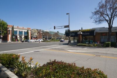
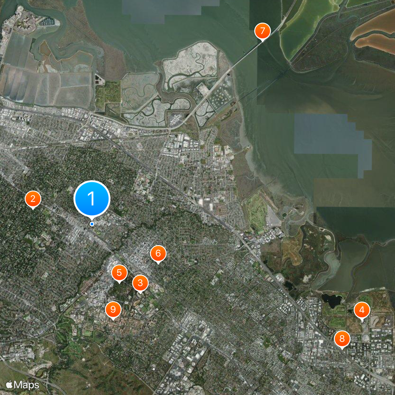
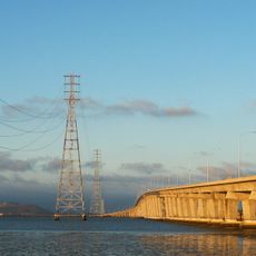
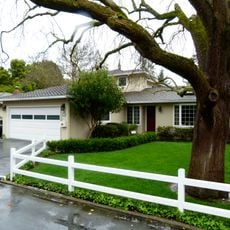
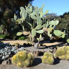
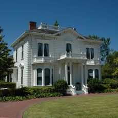
Menlo Park is a city in the eastern part of San Mateo County, California, lying between San Francisco Bay and the foothills of the Santa Cruz Mountains. Streets are lined with low residential neighborhoods, small business districts and scattered office buildings that stretch across several miles.

History

Irish settlers gave the place its name in the 19th century, inspired by their home village of Mionloch in County Galway. The arrival of the railroad in 1863 gradually transformed the area from ranchland into a residential settlement with growing importance for the Bay Area.

Culture

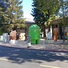
Daily life revolves around the technology industry, with many residents working at nearby Silicon Valley companies. Parks and cafes often host informal business conversations and groups discussing new projects.

Practical

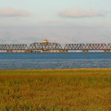
The Caltrain station offers regular connections north to San Francisco and south to San Jose. Most points of interest and shops are within walking distance from the station and accessible via wide sidewalks.

Did you know?

The train station has operated continuously since opening and holds the distinction of being California's oldest functioning railroad depot. The original tracks and platform structure have remained largely intact despite numerous updates.

Location
Shares border with
Redwood City, East Palo Alto, Atherton, Palo Alto, Stanford, Woodside
GPS coordinates
37.45417,-122.17861
Latest update
December 14, 2025 21:12

AroundUs brings together thousands of curated places, local tips, and hidden gems, enriched daily by 60,000 contributors worldwide. Discover all places nearby (San Mateo County).

Around this place
Stanford Stadium
United States of America

Stanford Stadium

2.7 km
Angel of Grief
Italy

Angel of Grief

2.1 km
HP Garage
United States of America

HP Garage

2.5 km
Dumbarton Bridge
United States of America

Dumbarton Bridge

8 km
Android sculptures
United States of America

Android sculptures

8.9 km
Stanford Memorial Church
United States of America

Stanford Memorial Church

3.1 km
El Palo Alto
United States of America

El Palo Alto

1.1 km
Hoover Tower
United States of America

Hoover Tower

3.1 km
Stanford Mausoleum
United States of America

Stanford Mausoleum

2.1 km
Google Garage
United States of America

Google Garage

1.4 km
Center for Advanced Study in the Behavioral Sciences
United States of America

Center for Advanced Study in the Behavioral Sciences

3.8 km
Lou Henry and Herbert Hoover House
United States of America

Lou Henry and Herbert Hoover House

4.1 km
Shoreline Park, Mountain View
United States of America

Shoreline Park, Mountain View

8.8 km
Arizona Cactus Garden
United States of America

Arizona Cactus Garden

2.1 km
Dumbarton Rail Bridge
United States of America

Dumbarton Rail Bridge

7 km
United States of America

Stegner Fellowship

3 km
Stanford University Arboretum
United States of America

Stanford University Arboretum

2.1 km
Frost Amphitheater
United States of America

Frost Amphitheater

2.9 km
Rengstorff House
United States of America

Rengstorff House

8.5 km
Palo Alto Baylands Nature Preserve
United States of America

Palo Alto Baylands Nature Preserve

6.4 km
Bing Concert Hall
United States of America

Bing Concert Hall

2.7 km
Hoover Institution Library and Archives
United States of America

Hoover Institution Library and Archives

3.1 km
United States of America

Papua New Guinea Sculpture Garden

3.3 km
Stanford Clock Tower
United States of America

Stanford Clock Tower

3.3 km
Stanford Memorial Auditorium
United States of America

Stanford Memorial Auditorium

3 km
Professorville
United States of America

Professorville

2.6 km
Cantor Arts Center
United States of America

Cantor Arts Center

2.5 km
Burnham Pavilion
United States of America

Burnham Pavilion

3.1 km
Show the full map
« Menlo Park - Residential city in San Mateo County, California, US » is provided by Around Us (aroundus.com). Images and texts are derived from Wikimedia project under a Creative Commons license. You are allowed to copy, distribute, and modify copies of this page, under the conditions set by the license, as long as this note is clearly visible.

Discover hidden gems everywhere you go!

From secret cafés to breathtaking viewpoints, skip the crowded tourist spots and find places that match your style. Our app makes it easy with voice search, smart filtering, route optimization, and insider tips from travelers worldwide. Download now for the complete mobile experience.

Around Us App Screenshot

A unique approach to discovering new places

Le Figaro

All the places worth exploring

France Info

A tailor-made excursion in just a few clicks

20 Minutes

Around Us
Travel Guide & Maps
Download

Send to your phone

QR Code
1

Open the camera app on your mobile.

2

Point at the QR code with your camera. A notification will appear.

3

Tap the notification to open the link.