Alameda County, Administrative county in San Francisco Bay Area, United States
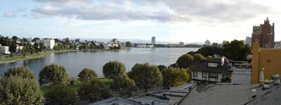
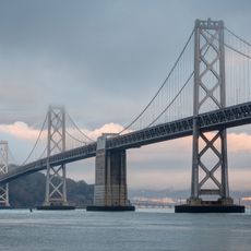
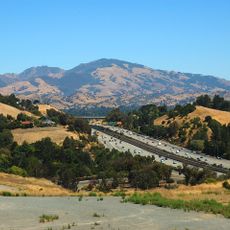
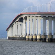
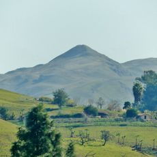
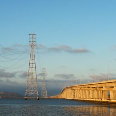
Alameda County is an administrative district on San Francisco Bay in California, stretching from the water on the west to the hills on the east. The area includes several cities such as Oakland, Berkeley and Fremont, and borders both the bay and more rural countryside inland.
The district was formed in 1853 from parts of two neighboring areas and initially served several smaller towns as an administrative seat. Oakland later became the fixed seat of government and developed into a rail junction and port location during the 19th century.
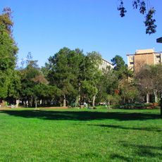
The name comes from the Spanish word for poplar grove and refers to the trees that once lined early settler routes through the area. The urban landscape now ranges from university districts in Berkeley to waterfront dock quarters, where residential neighborhoods mix with industry.
Visitors planning to explore several locations should rely on public transit, as distances between individual cities can be considerable. Coastal areas and hills especially bring different weather conditions, so an extra layer of clothing is advisable.
Two geological fault zones run through the area and have long influenced how buildings are constructed and streets are laid out. These underground structures are visible in some places through offsets in the terrain that can be noticed in parks and along walking trails.
The community of curious travelers
AroundUs brings together thousands of curated places, local tips, and hidden gems, enriched daily by 60,000 contributors worldwide.