Enable Location

We need your location to show you interesting places around you

Discover nearby places

Find interesting locations and hidden gems around you

Precise directions

Get accurate directions and distances to places

Your location is never shared with other users. It's only used when you tap the location button.

Pacheco State Park

Log in to your account

Start exploring — it's free

Trusted by 61,366 travelers worldwide

Continue with Google
Continue with Apple
or

We will send you a code to connect

By continuing, you accept our Terms and Conditions and our Privacy Policy

Check your inbox

We've sent a pincode in your inbox. Please enter the code below.

Pacheco State Park, State park in San Benito County, United States

Description

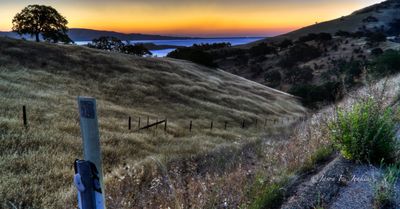
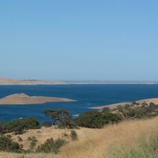
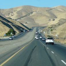
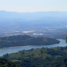
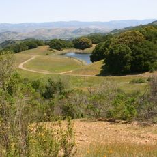
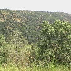
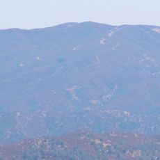
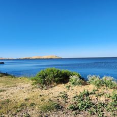
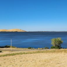
Pacheco State Park is a nature reserve in the Diablo Range comprising rolling grasslands and mountainous terrain across several thousand acres. The landscape rises to elevations around 1,900 feet and is dominated by open meadows interspersed with scattered trees and shrubland.

History

The park was established in 1997 when a descendant of the original Pacheco ranching family donated the land to California. This transfer preserved the area from residential development and protected the landscape's regional heritage.

Culture

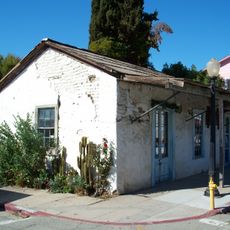
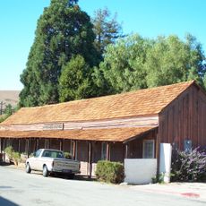
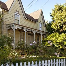
The park takes its name from a historic rancho family and preserves traces of that past visible to visitors along the trails. Old stone structures and abandoned buildings tell the story of when ranchers worked these hillsides.

Practical

The park offers an extensive network of trails for hiking, horseback riding, and mountain biking with routes ranging from short walks to full-day adventures. Visitors should bring plenty of water and snacks since there are no facilities or drinking sources within the park boundaries.

Did you know?

A portion of the park shares space with a working wind farm where turbines generate electricity on the ridges while tule elk and golden eagles inhabit the surrounding slopes. This unusual coexistence demonstrates how renewable energy and wildlife conservation can operate side by side on the same land.

Inception
1997
Operator
California Department of Parks and Recreation
GPS coordinates
37.04420,-121.19800
Latest update
December 9, 2025 18:41

AroundUs brings together thousands of curated places, local tips, and hidden gems, enriched daily by 60,000 contributors worldwide. Discover all places nearby (San Benito County).

Around this place
Show the full map
« Pacheco State Park - State park in San Benito County, United States » is provided by Around Us (aroundus.com). Images and texts are derived from Wikimedia project under a Creative Commons license. You are allowed to copy, distribute, and modify copies of this page, under the conditions set by the license, as long as this note is clearly visible.

Discover hidden gems everywhere you go!

From secret cafés to breathtaking viewpoints, skip the crowded tourist spots and find places that match your style. Our app makes it easy with voice search, smart filtering, route optimization, and insider tips from travelers worldwide. Download now for the complete mobile experience.

Around Us App Screenshot

A unique approach to discovering new places

Le Figaro

All the places worth exploring

France Info

A tailor-made excursion in just a few clicks

20 Minutes

Around Us
Travel Guide & Maps
Download

Send to your phone

QR Code
1

Open the camera app on your mobile.

2

Point at the QR code with your camera. A notification will appear.

3

Tap the notification to open the link.