Santa Nella, Census-designated place in Merced County, United States
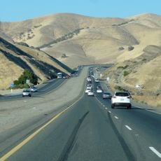
Santa Nella is a census-designated place in Merced County at the crossroads of Interstate 5 and State Route 33 in California's Central Valley. The location functions primarily as a roadside stop with commercial services for travelers.
The settlement grew from Rancho de Centinela, established in 1810 by ranchers from San Juan Bautista and Monterey as a stopping point along El Camino Viejo. This trade route shaped the area's early development.
The name comes from the Spanish word 'centinela,' meaning sentinel, reflecting the area's historical role as a lookout location. This heritage remains part of the local identity today.
The place is easily accessible via Interstate 5 and offers conveniences like restaurants, motels, and gas stations for travelers. Proximity to State Route 33 provides additional connections to surrounding areas.
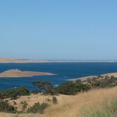
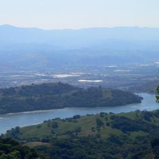
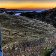
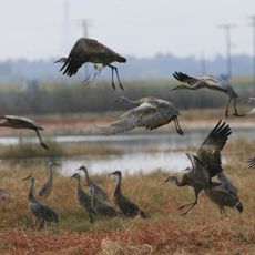
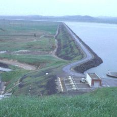
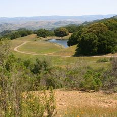
A large national cemetery for veterans sits west of the place, honoring soldiers laid to rest there. The San Luis Reservoir nearby offers water-based recreational activities for visitors.
The community of curious travelers
AroundUs brings together thousands of curated places, local tips, and hidden gems, enriched daily by 60,000 contributors worldwide.