Enable Location

We need your location to show you interesting places around you

Discover nearby places

Find interesting locations and hidden gems around you

Precise directions

Get accurate directions and distances to places

Your location is never shared with other users. It's only used when you tap the location button.

Merced County

Log in to your account

Start exploring — it's free

Trusted by travelers worldwide

Continue with Google
Continue with Apple
or

We will send you a code to connect

By continuing, you accept our Terms and Conditions and our Privacy Policy

Check your inbox

We've sent a pincode in your inbox. Please enter the code below.

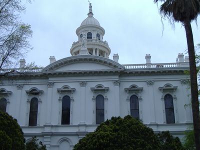
Merced County, Administrative division in San Joaquin Valley, California, United States.

Description

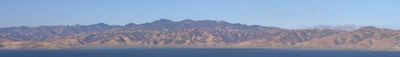
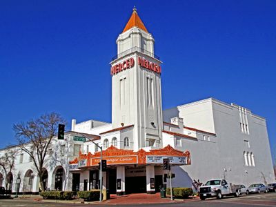
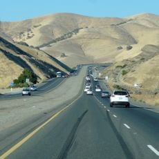
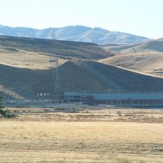
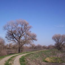
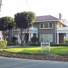
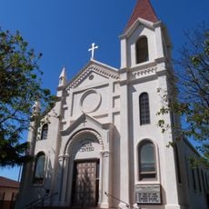
Merced County is an administrative division in the San Joaquin Valley in California, spanning flat to hilly terrain. The area is crossed by Interstate 5 and several state routes, and it contains multiple towns and communities.

History

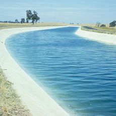
The area became a separate county in 1855 when it was formed from parts of Mariposa County. Its name comes from the Merced River, which explorer Gabriel Moraga discovered during an expedition in 1806.

Culture

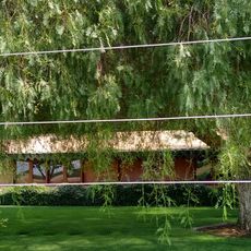
The University of California Merced shapes academic life in the region through research and teaching. Students and researchers contribute daily to the local knowledge culture and influence how the area sees itself.

Practical

The area is best explored by car, as Interstate 5 and state routes form the main connections. Visitors should know that the region is spread out, so distances between destinations can be large.

Did you know?

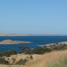
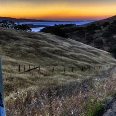
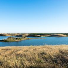
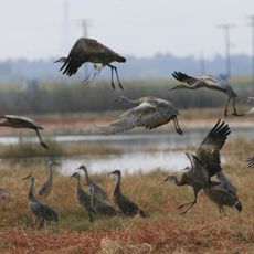
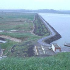
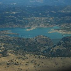
The area is home to the Merced National Wildlife Refuge and the San Luis National Wildlife Refuge, which serve as important sanctuaries for wildlife. These protected spaces give visitors the chance to see natural habitats up close.

Location
Inception
1855
Capital city
Merced
Shares border with
Stanislaus County, Tuolumne County, Mariposa County, Madera County, Fresno County, San Benito County, Santa Clara County
GPS coordinates
37.19000,-120.71000
Latest update
December 14, 2025 18:26

AroundUs brings together thousands of curated places, local tips, and hidden gems, enriched daily by 60,000 contributors worldwide. Discover all places nearby (California).

Around this place
San Luis Reservoir
United States of America

San Luis Reservoir

35.6 km
Castle Air Museum
United States of America

Castle Air Museum

22.9 km
Pacheco Pass
United States of America

Pacheco Pass

47.2 km
San Luis Dam
United States of America

San Luis Dam

35.5 km
Delta–Mendota Canal
United States of America

Delta–Mendota Canal

31.3 km
Pacheco State Park
United States of America

Pacheco State Park

46.3 km
Turlock Lake State Recreation Area
United States of America

Turlock Lake State Recreation Area

50 km
San Luis National Wildlife Refuge
United States of America

San Luis National Wildlife Refuge

12 km
Merced National Wildlife Refuge
United States of America

Merced National Wildlife Refuge

9 km
United States of America

Great Valley Grasslands State Park

18.9 km
Randall Fawcett House
United States of America

Randall Fawcett House

27.1 km
United States of America

San Joaquin River National Wildlife Refuge

65.3 km
O'Neill Forebay
United States of America

O'Neill Forebay

31.8 km
United States of America

Kesterson Reservoir

17.8 km
United States of America

McConnell State Recreation Area

25.1 km
New Exchequer Dam
United States of America

New Exchequer Dam

58.9 km
United States of America

Kesterson National Wildlife Refuge

17.9 km
United States of America

George J. Hatfield State Recreation Area

29 km
United States of America

San Joaquin Valley National Cemetery

27.8 km
Tioga Hotel
United States of America

Tioga Hotel

23.5 km
O'Neill Dam
United States of America

O'Neill Dam

32.3 km
Gold Dredge
United States of America

Gold Dredge

53.5 km
United States of America

The Mainzer

23.5 km
United States of America

Lion Bridge

54.7 km
Bloss Mansion
United States of America

Bloss Mansion

19.8 km
United States of America

Tuolumne City

59.3 km
United States of America

Tuolumne River Regional Park

54.9 km
Church of St. Joseph
United States of America

Church of St. Joseph

19.1 km
Show the full map
Administrative divisions
« Merced County - Administrative division in San Joaquin Valley, California, United States » is provided by Around Us (aroundus.com). Images and texts are derived from Wikimedia project under a Creative Commons license. You are allowed to copy, distribute, and modify copies of this page, under the conditions set by the license, as long as this note is clearly visible.

Discover hidden gems everywhere you go!

From secret cafés to breathtaking viewpoints, skip the crowded tourist spots and find places that match your style. Our app makes it easy with voice search, smart filtering, route optimization, and insider tips from travelers worldwide. Download now for the complete mobile experience.

Around Us App Screenshot

A unique approach to discovering new places

Le Figaro

All the places worth exploring

France Info

A tailor-made excursion in just a few clicks

20 Minutes

Around Us
Travel Guide & Maps
Download

Send to your phone

QR Code
1

Open the camera app on your mobile.

2

Point at the QR code with your camera. A notification will appear.

3

Tap the notification to open the link.