San Luis Dam, Embankment dam in Merced County, United States
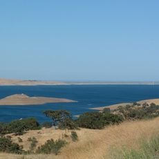
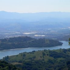
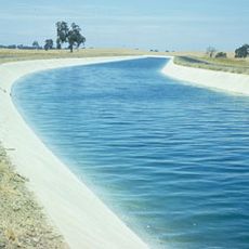
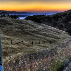
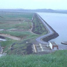
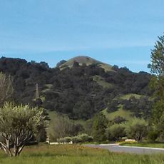
San Luis Dam is an embankment dam in Merced County, California, forming the San Luis Reservoir, one of the largest off-stream water storage facilities in the United States. The dam sits between rolling hills and is part of a larger system that captures water from the Sacramento-San Joaquin Delta for later distribution.
The valley flooded by the reservoir was Yokuts land and later part of Rancho San Luis Gonzaga. The federal Bureau of Reclamation began studying a large storage reservoir in 1955, while the state's own water project also needed off-stream storage; the state offered a joint-use facility. Built between 1963 and 1968, the dam first filled in 1969.
The valley the reservoir now floods was Yokuts land, later part of Rancho San Luis Gonzaga, where small-scale farming relied on groundwater and canals from the San Joaquin River. The dam and reservoir are visible from the Romero Overlook Visitors Center on Highway 152 through Pacheco Pass.
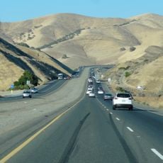
The area around the dam is easily reached via Highway 152, and there are viewpoints where you can look out over the reservoir and the surrounding hills. Wind can pick up strongly in the afternoon, so an early morning visit tends to be more comfortable.
The reservoir flooded the former Rancho San Luis Gonzaga valley, displacing the Yokuts people who had lived there. The dam's power plant, named for engineer William R. Gianelli, holds eight reversible Francis turbines: it pumps water uphill at 376 MW and generates up to 424 MW on release, recovering only about 70 percent of the energy.
The community of curious travelers
AroundUs brings together thousands of curated places, local tips, and hidden gems, enriched daily by 93,004 contributors worldwide.