Chest opened
+${chestReward.xp} XP
Explorer
NOUVEAU ×${chestReward.collectible.quantity}
tapez pour fermer
Chest locked

Open chests in the app

Around Us is built for your phone — chests unlock when you walk, explore and capture nearby places.

Enable Location

We need your location to show you interesting places around you

Discover nearby places

Find interesting locations and hidden gems around you

Precise directions

Get accurate directions and distances to places

Your location is never shared with other users. It's only used when you tap the location button.

Garberville

Log in to your account

Start exploring — it's free

Trusted by 72,982 travelers worldwide

Continue with Google
Continue with Apple
or

We will send you a code to connect

By continuing, you accept our Terms and Conditions and our Privacy Policy

Check your inbox

We've sent a pincode in your inbox. Please enter the code below.

Discussion Reviews 1 Photos
24.3k Popularity

Garberville, Census-designated place in Humboldt County, United States

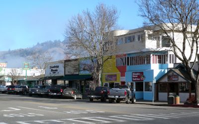
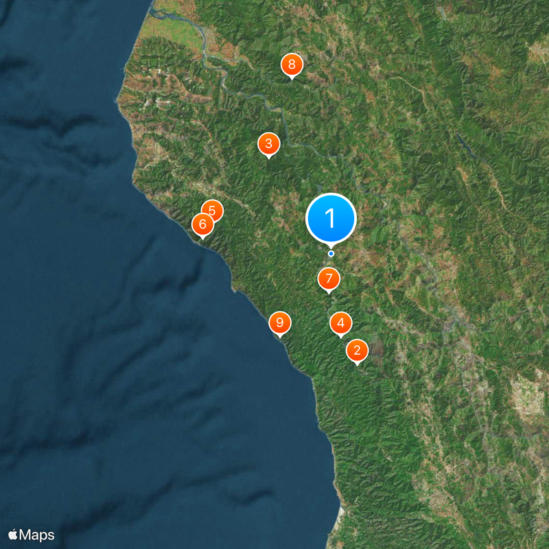
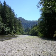
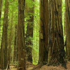
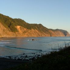
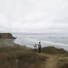
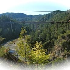
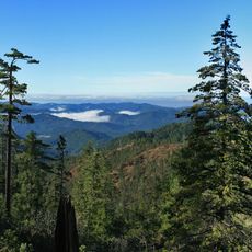
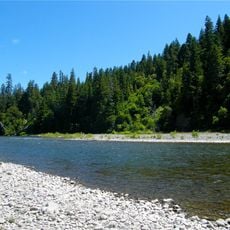
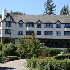
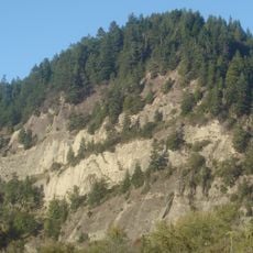
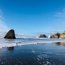
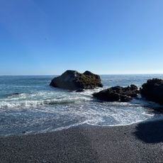
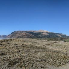
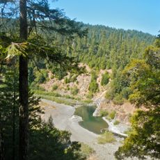
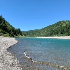
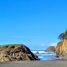
Garberville is a census-designated place in Humboldt County situated along the South Fork of the Eel River amid forested mountains and valleys. The community sits along State Route 101, providing access to nearby protected natural areas.

The town took shape with the establishment of its first post office in 1874, with the place being named after Jacob C. Garber, the postmaster, in 1879. This early administrative presence helped the settlement grow as a local center.

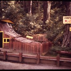
Garberville serves as a hub for the Mateel Region's creative community, hosting an annual Summer Arts and Music Festival that draws regional artists, performers, and food producers together. The event reflects a strong emphasis on local craftsmanship and creative expression that shapes daily life here.

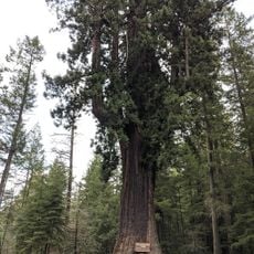
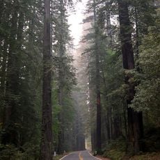
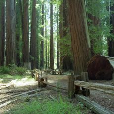
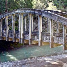
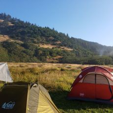
The main highway connects this place to nearby protected areas such as Humboldt Redwoods State Park and Richardson Grove, accessible by car or on foot from the town. Spring through fall is the best season to visit, as roads and trails are generally in good condition.

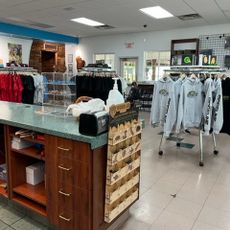
A Cannabis College operates here with a focus on sustainable farming practices, showing how local agriculture shifted from timber to alternative crops over time. This educational institution reflects an economic shift that reshaped the region's direction.

The community of curious travelers

AroundUs brings together thousands of curated places, local tips, and hidden gems, enriched daily by 60,000 contributors worldwide.

Start exploring
Location
Elevation above the sea
163 m
GPS coordinates
40.10027,-123.79386
Latest update
December 20, 2025 12:49
Around this place
Chandelier Tree
United States of America

Chandelier Tree

27.7 km
Humboldt Redwoods State Park
United States of America

Humboldt Redwoods State Park

28 km
Confusion Hill
United States of America

Confusion Hill

20.3 km
King Range
United States of America

King Range

29.8 km
Patrick's Point State Park
United States of America

Patrick's Point State Park

31.5 km
Richardson Grove State Park
United States of America

Richardson Grove State Park

9.3 km
Grizzly Creek Redwoods State Park
United States of America

Grizzly Creek Redwoods State Park

43.9 km
Sinkyone Wilderness State Park
United States of America

Sinkyone Wilderness State Park

23.6 km
Westport-Union Landing State Beach
United States of America

Westport-Union Landing State Beach

47.1 km
Confusion Hill Bridges
United States of America

Confusion Hill Bridges

20.1 km
South Fork Eel River Wilderness
United States of America

South Fork Eel River Wilderness

25.9 km
Benbow Lake State Recreation Area
United States of America

Benbow Lake State Recreation Area

4.3 km
King Range Wilderness
United States of America

King Range Wilderness

29.8 km
Punta Gorda Light
United States of America

Punta Gorda Light

50.1 km
Benbow Inn
United States of America

Benbow Inn

3.7 km
Lower Blackburn Grade Bridge
United States of America

Lower Blackburn Grade Bridge

43.1 km
Scotia Bluffs
United States of America

Scotia Bluffs

52.5 km
Grizzly Bluff School
United States of America

Grizzly Bluff School

60.6 km
United States of America

Signal Peak

33 km
One-Log House
United States of America

One-Log House

10.1 km
Usal Beach
United States of America

Usal Beach

30.6 km
Seaside Creek Beach
United States of America

Seaside Creek Beach

60.3 km
Black Sands Beach
United States of America

Black Sands Beach

25 km
Mattole Beach
United States of America

Mattole Beach

52.3 km
Wages Creek Beach
United States of America

Wages Creek Beach

50 km
Standish-Hickey State Recreation Area
United States of America

Standish-Hickey State Recreation Area

25 km
Dyerville River Bar
United States of America

Dyerville River Bar

30.4 km
Seaside Beach
United States of America

Seaside Beach

60.4 km
Show the full map
Reviews
Share your experience

No review yet

Discussions
Start a discussion...

No discussion yet

« Garberville - Census-designated place in Humboldt County, United States » is provided by Around Us (aroundus.com). Images and texts are derived from Wikimedia project under a Creative Commons license. You are allowed to copy, distribute, and modify copies of this page, under the conditions set by the license, as long as this note is clearly visible.

Discover hidden gems everywhere you go!

From secret cafés to breathtaking viewpoints, skip the crowded tourist spots and find places that match your style. Our app makes it easy with voice search, smart filtering, route optimization, and insider tips from travelers worldwide. Download now for the complete mobile experience.

Around Us App Screenshot

A unique approach to discovering new places

Le Figaro

All the places worth exploring

France Info

A tailor-made excursion in just a few clicks

20 Minutes

Around Us
Travel Guide & Maps
Download

Send to your phone

QR Code
1

Open the camera app on your mobile.

2

Point at the QR code with your camera. A notification will appear.

3

Tap the notification to open the link.