Chest opened
+${chestReward.xp} XP
Explorer
NOUVEAU ×${chestReward.collectible.quantity}
tapez pour fermer
Chest locked

Open chests in the app

Around Us is built for your phone — chests unlock when you walk, explore and capture nearby places.

Enable Location

We need your location to show you interesting places around you

Discover nearby places

Find interesting locations and hidden gems around you

Precise directions

Get accurate directions and distances to places

Your location is never shared with other users. It's only used when you tap the location button.

Klamath

Log in to your account

Start exploring — it's free

Trusted by 72,887 travelers worldwide

Continue with Google
Continue with Apple
or

We will send you a code to connect

By continuing, you accept our Terms and Conditions and our Privacy Policy

Check your inbox

We've sent a pincode in your inbox. Please enter the code below.

Discussion Reviews 1 Photos
17.1k Popularity

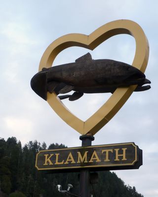
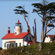
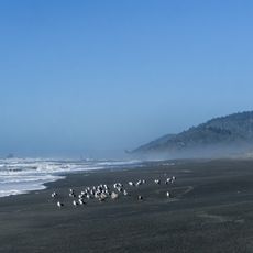
Klamath, Census-designated place in Del Norte County, California, US.

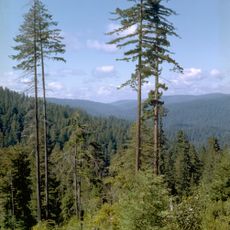
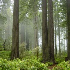
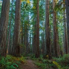
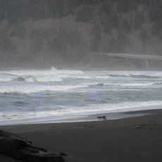
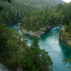
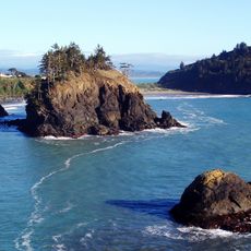
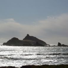
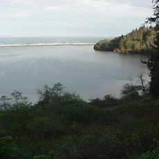
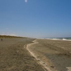
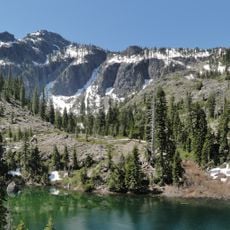
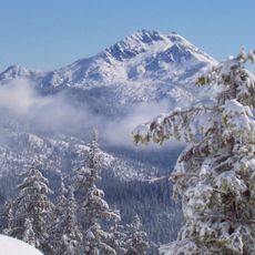
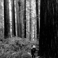
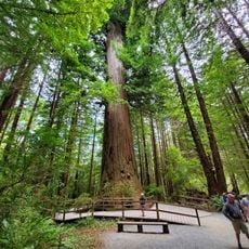
Klamath is a small community at the mouth of the Klamath River in California, surrounded by dense redwood forests and sitting just above sea level. The settlement spreads along the Pacific coast and offers visitors two main attractions: a treetop walkway with suspension bridges and a cable car system.

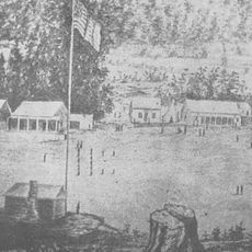
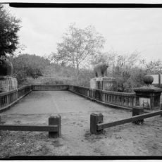
The original settlement vanished during a major 1964 flood that devastated the area. Today visible traces remain, including old streets and sidewalks that mark where the earlier town once stood.

The area connects to Yurok heritage, and visitors can watch traditional practices like river journeys in hand-carved canoes. These activities show how communities here have lived with the river and forest for many generations.

Wear comfortable shoes since the suspension bridges and forest paths require steady footing on uneven ground and parts of the area must be explored on foot. The best time to visit is during dry weather when forest trails are safer and easier to navigate.

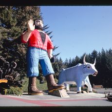
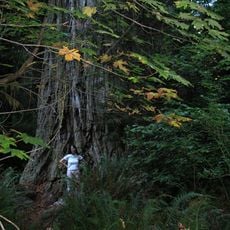
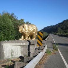
The settlement houses a 35-foot tall Blue Ox statue from Paul Bunyan folklore and is one of very few places in California where vehicles can drive through a redwood tree. This unusual mix of landmarks makes the location particularly memorable for travelers.

The community of curious travelers

AroundUs brings together thousands of curated places, local tips, and hidden gems, enriched daily by 60,000 contributors worldwide.

Start exploring
Location
Elevation above the sea
9 m
GPS coordinates
41.52639,-124.03833
Latest update
December 7, 2025 19:25
Around this place
Hyperion
United States of America

Hyperion

35.8 km
Redwood National and State Parks
United States of America

Redwood National and State Parks

17.3 km
Redwood National and State Parks
United States of America

Redwood National and State Parks

1.7 km
Jedediah Smith Redwoods State Park
United States of America

Jedediah Smith Redwoods State Park

28.9 km
Trees of Mystery
United States of America

Trees of Mystery

7.6 km
Prairie Creek Redwoods State Park
United States of America

Prairie Creek Redwoods State Park

13.6 km
Del Norte Coast Redwoods State Park
United States of America

Del Norte Coast Redwoods State Park

16.9 km
St. George Reef Light
United States of America

St. George Reef Light

44.5 km
Lost Monarch
United States of America

Lost Monarch

29.5 km
Battery Point Light
United States of America

Battery Point Light

27.8 km
Smith River National Recreation Area
United States of America

Smith River National Recreation Area

29.5 km
Trinidad State Beach
United States of America

Trinidad State Beach

52 km
Siskiyou Wilderness
United States of America

Siskiyou Wilderness

29.8 km
Castle Rock National Wildlife Refuge
United States of America

Castle Rock National Wildlife Refuge

31.5 km
Humboldt Lagoons State Park
United States of America

Humboldt Lagoons State Park

33.4 km
Tolowa Dunes State Park
United States of America

Tolowa Dunes State Park

40.2 km
Trinidad Head Light
United States of America

Trinidad Head Light

53.7 km
Bear Mountain
United States of America

Bear Mountain

42.8 km
Preston Peak
United States of America

Preston Peak

49.4 km
Good Harvest Cafe
United States of America

Good Harvest Cafe

27.7 km
Camp Lincoln
United States of America

Camp Lincoln

33.7 km
Redwood Experimental Forest
United States of America

Redwood Experimental Forest

7.4 km
Gasquet Ranger Station Historic District
United States of America

Gasquet Ranger Station Historic District

35.9 km
Pebble Beach
United States of America

Pebble Beach

31 km
Klamath River Bridge
United States of America

Klamath River Bridge

1.2 km
Brotherhood Tree
United States of America

Brotherhood Tree

7.5 km
Redwood Creek Beach
United States of America

Redwood Creek Beach

27.2 km
Douglas Memorial Bridge
United States of America

Douglas Memorial Bridge

614 m
Show the full map
Reviews
Share your experience

No review yet

Discussions
Start a discussion...

No discussion yet

« Klamath - Census-designated place in Del Norte County, California, US » is provided by Around Us (aroundus.com). Images and texts are derived from Wikimedia project under a Creative Commons license. You are allowed to copy, distribute, and modify copies of this page, under the conditions set by the license, as long as this note is clearly visible.

Discover hidden gems everywhere you go!

From secret cafés to breathtaking viewpoints, skip the crowded tourist spots and find places that match your style. Our app makes it easy with voice search, smart filtering, route optimization, and insider tips from travelers worldwide. Download now for the complete mobile experience.

Around Us App Screenshot

A unique approach to discovering new places

Le Figaro

All the places worth exploring

France Info

A tailor-made excursion in just a few clicks

20 Minutes

Around Us
Travel Guide & Maps
Download

Send to your phone

QR Code
1

Open the camera app on your mobile.

2

Point at the QR code with your camera. A notification will appear.

3

Tap the notification to open the link.