Oregon Coast Range, Mountain range in Polk County, Oregon, United States.
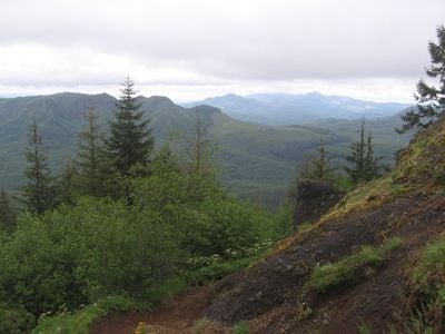
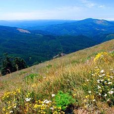
The Oregon Coast Range is a mountain chain that stretches over 200 miles from the Columbia River to the Coquille River in northwestern Oregon. Its highest point, Marys Peak, reaches about 4,100 feet in elevation.
The mountain chain began forming roughly 60 million years ago through volcanic activity and sedimentation in a forearc basin. These geological events shaped the landscape visible today.
Native American communities established deep connections with these mountains, utilizing natural resources for sustenance and maintaining traditions across generations.
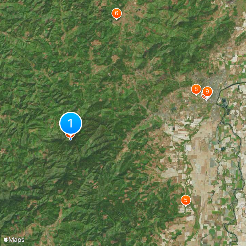
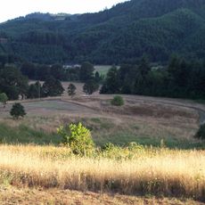
Many hiking trails wind through the forests within this mountain range, particularly in Siuslaw National Forest and Tillamook State Forest. Highway 101 along the Pacific coast provides convenient access to various trailheads and mountain areas.
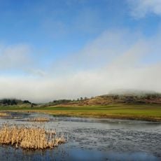
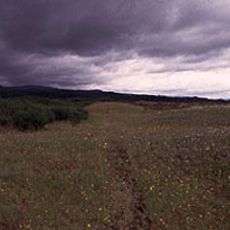
The range blocks moist ocean air and creates different rainfall patterns on either side of the ridge, with the coastal side receiving far more precipitation. This weather effect shapes entirely different forest types and vegetation across short distances.
The community of curious travelers
AroundUs brings together thousands of curated places, local tips, and hidden gems, enriched daily by 60,000 contributors worldwide.