Rogers Peak, US mountain

Tillamook Burn
24.4 km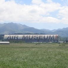
Tillamook Air Museum
33.7 km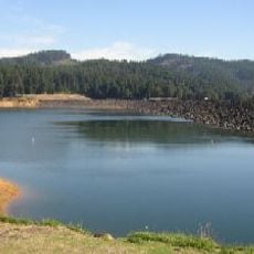
Henry Hagg Lake
34.3 km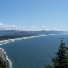
Oswald West State Park
34.1 km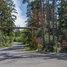
Nehalem Bay State Park
30.2 km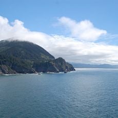
Neahkahnie Mountain
32.7 km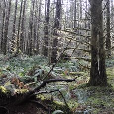
Tillamook State Forest
24.6 km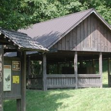
Banks-Vernonia State Trail
29.9 km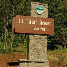
L. L. "Stub" Stewart State Park
28.7 km
Naval Air Station Tillamook
34 km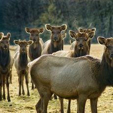
Jewell Meadows Wildlife Area
31.2 km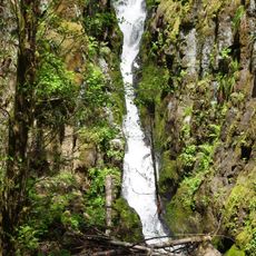
Ki-a-Kuts Falls
25.4 km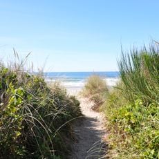
Manhattan Beach State Recreation Site
30.7 km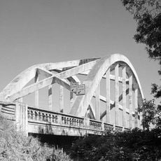
Wilson River Bridge
31 km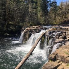
Lee Falls
30.3 km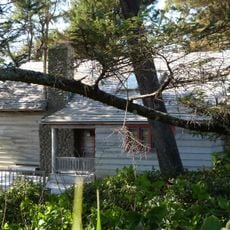
Harry F. Wentz Studio
31.7 km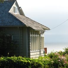
A. E. Doyle Cottage
31.3 km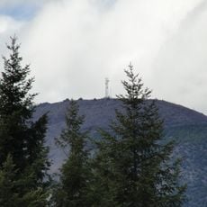
Round Top
14.5 km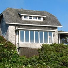
Mary Frances Isom Cottage
31.4 km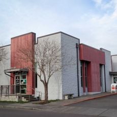
Banks Public Library
34.2 km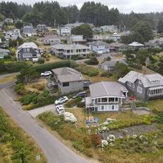
Sunset Beach
31.1 km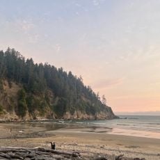
Short Sand Beach
34.3 km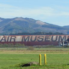
Hangar B
33.8 km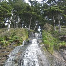
Blumenthal Falls
34.7 km
Latimer Quilt & Textile Center
31 km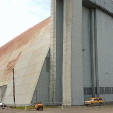
NAS Tillamook dirigible hangars
34.1 km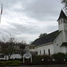
Gales Creek Church
27.4 km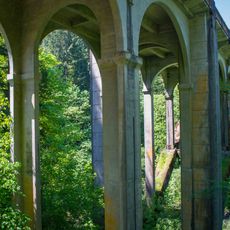
Nehalem River Bridge
21.6 kmReviews
Visited this place? Tap the stars to rate it and share your experience / photos with the community! Try now! You can cancel it anytime.
Discover hidden gems everywhere you go!
From secret cafés to breathtaking viewpoints, skip the crowded tourist spots and find places that match your style. Our app makes it easy with voice search, smart filtering, route optimization, and insider tips from travelers worldwide. Download now for the complete mobile experience.

A unique approach to discovering new places❞
— Le Figaro
All the places worth exploring❞
— France Info
A tailor-made excursion in just a few clicks❞
— 20 Minutes