
Hangar B, historic dirigible hangar at Tillamook Airport, Oregon, USA
Location: Tillamook County
Inception: 1943
GPS coordinates: 45.42039,-123.80483
Latest update: March 4, 2025 03:01

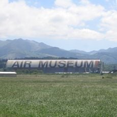
Tillamook Air Museum
51 m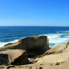
Cape Kiwanda State Natural Area
26.2 km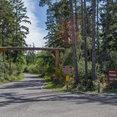
Nehalem Bay State Park
32.9 km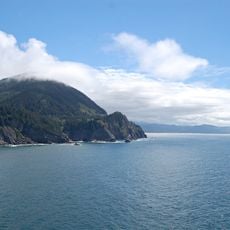
Neahkahnie Mountain
38.1 km
Cape Lookout State Park
15.1 km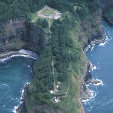
Cape Meares Lighthouse
15.4 km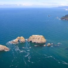
Three Arch Rocks National Wildlife Refuge
15.1 km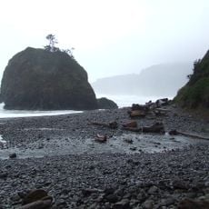
Short Beach
14 km
Naval Air Station Tillamook
296 m
Munson Creek Falls State Natural Site
6.7 km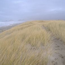
Bob Straub State Park
29.2 km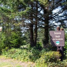
Neskowin Beach State Recreation Site
38.1 km
Oceanside Beach State Recreation Site
13.7 km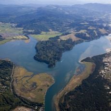
Nestucca Bay National Wildlife Refuge
29.8 km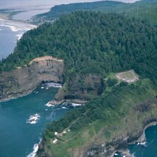
Cape Meares National Wildlife Refuge
14.5 km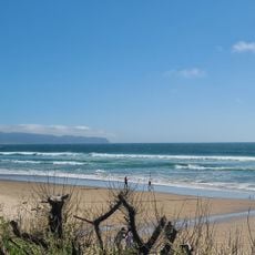
Oceanside Beach State Recreation Site
13.9 km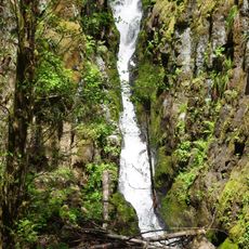
Ki-a-Kuts Falls
33 km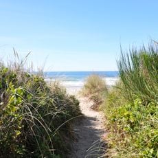
Manhattan Beach State Recreation Site
27 km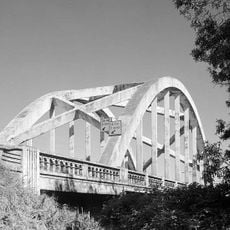
Wilson River Bridge
7.1 km
Harry F. Wentz Studio
36.5 km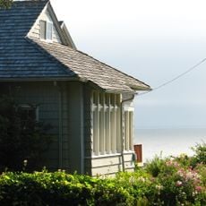
A. E. Doyle Cottage
36 km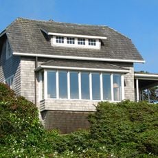
Mary Frances Isom Cottage
35.9 km
Sunset Beach
34.8 km
Latimer Quilt & Textile Center
6.6 km
NAS Tillamook dirigible hangars
359 m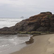
Kiwanda Beach
32.8 km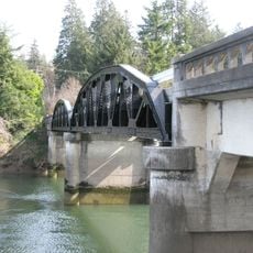
Mohler Bridge
32.4 km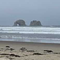
Twin Rocks Turnaround
23 kmReviews
Visited this place? Tap the stars to rate it and share your experience / photos with the community! Try now! You can cancel it anytime.
Discover hidden gems everywhere you go!
From secret cafés to breathtaking viewpoints, skip the crowded tourist spots and find places that match your style. Our app makes it easy with voice search, smart filtering, route optimization, and insider tips from travelers worldwide. Download now for the complete mobile experience.

A unique approach to discovering new places❞
— Le Figaro
All the places worth exploring❞
— France Info
A tailor-made excursion in just a few clicks❞
— 20 Minutes