Enable Location

We need your location to show you interesting places around you

Discover nearby places

Find interesting locations and hidden gems around you

Precise directions

Get accurate directions and distances to places

Your location is never shared with other users. It's only used when you tap the location button.

Clatskanie

Log in to your account

Start exploring — it's free

Trusted by 63,912 travelers worldwide

Continue with Google
Continue with Apple
or

We will send you a code to connect

By continuing, you accept our Terms and Conditions and our Privacy Policy

Check your inbox

We've sent a pincode in your inbox. Please enter the code below.

Clatskanie
Discussion Reviews 1 Photos
16.6k Popularity

Clatskanie, city in Oregon, USA

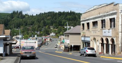
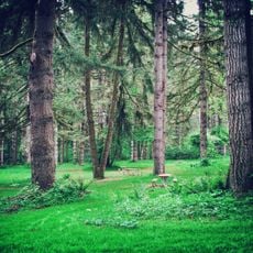
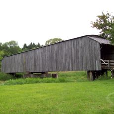
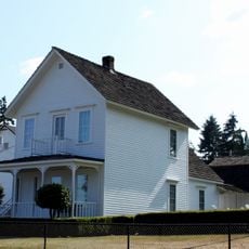
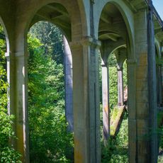
Clatskanie is a small city in Oregon that stretches along the Clatskanie River and is surrounded by forests and green space. Streets are laid out simply, with homes and small shops tucked among trees, while the river gives the town a gentle rhythm.

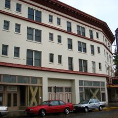
The town was originally home to a Native American tribe of the same name and attracted settlers in the 1800s seeking fertile land and resources. Clatskanie officially became a town in 1891 and grew with the logging and farming industries.

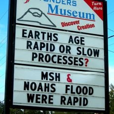
The name Clatskanie comes from the Native American tribe that once lived in this region. Today, this heritage shapes how residents view their community, celebrated each year through events like Heritage Days.

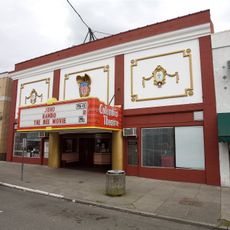
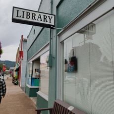
The city is easily reached by car via Highway 30 and is connected by bus services to other parts of Oregon. Visitors can walk around easily and find accommodations and small shops near the town center.

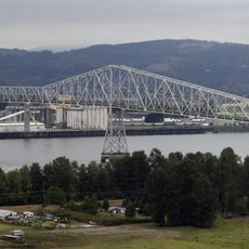
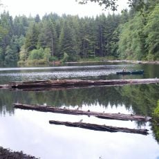
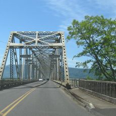
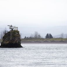
Clatskanie City Park offers parks with picnic areas and access to the Columbia River where fishing and boating are possible. This closeness to the water is central to how residents shape their leisure time.

The community of curious travelers

AroundUs brings together thousands of curated places, local tips, and hidden gems, enriched daily by 60,000 contributors worldwide.

Start exploring
Location
Inception
1891
Elevation above the sea
17.98 m
GPS coordinates
46.10306,-123.20361
Latest update
February 17, 2026 02:01
Around this place
Nutty Narrows Bridge
United States of America

Nutty Narrows Bridge

20.7 km
Lewis and Clark Bridge
United States of America

Lewis and Clark Bridge

18.7 km
Saddle Mountain
United States of America

Saddle Mountain

40.1 km
L. L. "Stub" Stewart State Park
United States of America

L. L. "Stub" Stewart State Park

40.8 km
Seaquest State Park
United States of America

Seaquest State Park

36.4 km
Julia Butler Hansen Refuge for the Columbian White-Tailed Deer
United States of America

Julia Butler Hansen Refuge for the Columbian White-Tailed Deer

22.8 km
Great Vow Zen Monastery
United States of America

Great Vow Zen Monastery

6.9 km
Jewell Meadows Wildlife Area
United States of America

Jewell Meadows Wildlife Area

30.3 km
Clatsop State Forest
United States of America

Clatsop State Forest

18.5 km
Grays River Covered Bridge
United States of America

Grays River Covered Bridge

40.3 km
Bradley State Scenic Viewpoint
United States of America

Bradley State Scenic Viewpoint

19.5 km
Lewis and Clark National Wildlife Refuge
United States of America

Lewis and Clark National Wildlife Refuge

35.5 km
Mount Saint Helens Creation Center
United States of America

Mount Saint Helens Creation Center

29.8 km
Julia Butler Hansen Bridge
United States of America

Julia Butler Hansen Bridge

17.3 km
Saddle Mountain State Natural Area
United States of America

Saddle Mountain State Natural Area

40.3 km
Thomas J. Flippin House
United States of America

Thomas J. Flippin House

428 m
Pioneer Church
United States of America

Pioneer Church

17.6 km
Pillar Rock
United States of America

Pillar Rock

34.2 km
Vernonia Pioneer Museum
United States of America

Vernonia Pioneer Museum

27.4 km
Longview Community Church-Saint Helen's Addition
United States of America

Longview Community Church-Saint Helen's Addition

19 km
Cox–Williams House
United States of America

Cox–Williams House

41.3 km
Caples House Museum
United States of America

Caples House Museum

38.7 km
Harlows Creek
United States of America

Harlows Creek

32.4 km
Columbia Theatre for the Performing Arts
United States of America

Columbia Theatre for the Performing Arts

21.4 km
Columbia Theatre
United States of America

Columbia Theatre

41.1 km
Mills Building
United States of America

Mills Building

21.1 km
Nehalem River Bridge
United States of America

Nehalem River Bridge

38.4 km
Castle Rock Public Library
United States of America

Castle Rock Public Library

29.7 km
Show the full map
Reviews
Share your experience

No review yet

Discussions
Start a discussion...

No discussion yet

« Clatskanie - city in Oregon, USA » is provided by Around Us (aroundus.com). Images and texts are derived from Wikimedia project under a Creative Commons license. You are allowed to copy, distribute, and modify copies of this page, under the conditions set by the license, as long as this note is clearly visible.

Discover hidden gems everywhere you go!

From secret cafés to breathtaking viewpoints, skip the crowded tourist spots and find places that match your style. Our app makes it easy with voice search, smart filtering, route optimization, and insider tips from travelers worldwide. Download now for the complete mobile experience.

Around Us App Screenshot

A unique approach to discovering new places

Le Figaro

All the places worth exploring

France Info

A tailor-made excursion in just a few clicks

20 Minutes

Around Us
Travel Guide & Maps
Download

Send to your phone

QR Code
1

Open the camera app on your mobile.

2

Point at the QR code with your camera. A notification will appear.

3

Tap the notification to open the link.