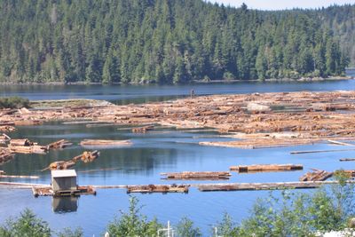
Nimpkish Lake, Lake in Northern Vancouver Island, Canada
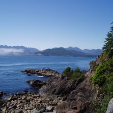
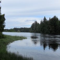
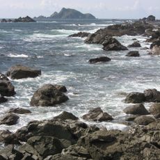
Nimpkish Lake is a large body of water on northern Vancouver Island in British Columbia, surrounded by steep valley walls that rise dramatically from the shore. The water reaches considerable depths and sits within a pristine natural setting protected by provincial designation.
This area was used and settled by indigenous peoples long before European arrival in the region. The land surrounding the lake received official protection as a provincial park during the 1990s.
The Namgis First Nation holds deep ties to these waters, with their ancestral name Gwa'ni originating from this place. Local communities continue to use the lake in traditional ways, maintaining their historical connection to the land.
The main way to reach the lake is by boat launch near the Nimpkish store, which provides access to the water. From there, visitors can explore on their own boat or use the limited trails available along the shore.
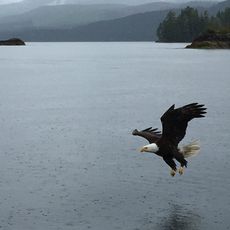
The lake serves as a spawning ground where multiple fish species return to reproduce and thrive in its cold waters. Rainbow trout and Dolly Varden char are notably abundant here and attract fishing enthusiasts.
Location: British Columbia
GPS coordinates: 50.40030,-126.97600
Latest update: December 6, 2025 17:47
Golden Hinde
120.3 km
Strathcona Provincial Park
105.6 km
Cape Scott Provincial Park
102.9 km
Estevan Point lighthouse
117.4 km
Muqqiwn Provincial Park
64.3 km
Nimpkish River
27.8 km
Artlish Caves Provincial Park
26.3 km
Cape Scott Lighthouse
111 km
Salmon River
74.3 km
Marble River Provincial Park
42.1 km
Solander Island Ecological Reserve
50.3 km
Scarlett Point Lighthouse
68.1 km
Raft Cove Provincial Park
91.3 km
Elk Falls Suspension Bridge
123.9 km
Quatsino Provincial Park
60.5 km
Woss Lake Provincial Park
41.8 km
Echo Bay Marine Provincial Park
51.8 km
Bligh Island Marine Provincial Park
90.9 km
Broughton Archipelago Marine Provincial Park
37.7 km
Big Bunsby Marine Provincial Park
49.8 km
Maquinna Marine Provincial Park
120.3 km
Kingcome River
101.1 km
Muchalat Inlet
98.4 km
Kingcome Glacier
123.2 km
Trudel Glacier
124.4 km
Zeballos Peak
36.9 km
Egg Island Lighthouse
112 km
Nootka Lighthouse
93.5 kmVisited this place? Tap the stars to rate it and share your experience / photos with the community! Try now! You can cancel it anytime.
Discover hidden gems everywhere you go!
From secret cafés to breathtaking viewpoints, skip the crowded tourist spots and find places that match your style. Our app makes it easy with voice search, smart filtering, route optimization, and insider tips from travelers worldwide. Download now for the complete mobile experience.
A unique approach to discovering new places❞
— Le Figaro
All the places worth exploring❞
— France Info
A tailor-made excursion in just a few clicks❞
— 20 Minutes