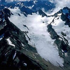
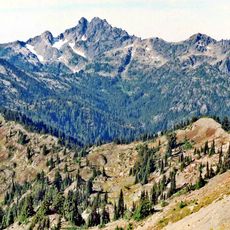
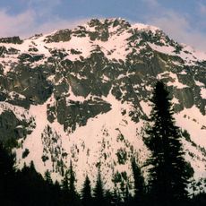
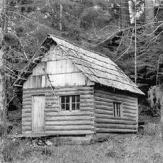
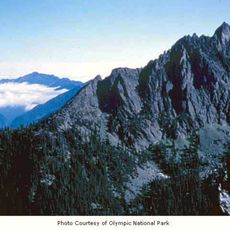
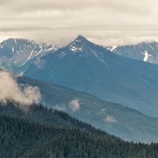
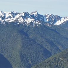
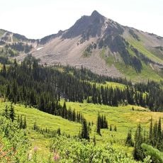
Anderson Glacier, Alpine glacier in Olympic Mountains, Washington.
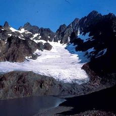
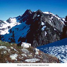
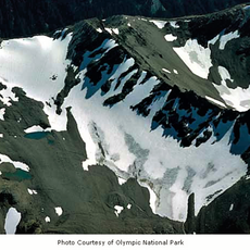
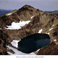
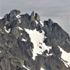
Anderson Glacier was a south-facing glacier in a cirque south of Mount Anderson in Olympic National Park, Washington. It began on steep headwalls at about 6,200 feet (1,900 m), flowed down to about 5,240 feet (1,600 m), and its meltwater entered a lake at about 4,949 feet (1,508 m) before tumbling down a steep cliff.
Anderson Glacier sat in a cirque south of Mount Anderson, its south-facing ice running from about 6,200 feet down to 5,240 feet. Between 1927 and 2009 it lost more than 90 percent of its surface area, and by 2011 it was gone. Its meltwater had fed a lake at 4,949 feet before dropping over a steep cliff.
The Quinault Indian Nation relied on salmon fishing in the Quinault River, for which Anderson Glacier was the main tributary. With the ice gone the river ran shallow and the salmon no longer swam up it, so the nation lost its historic livelihood and must move its villages at high cost. The tribe's leader threatened to ratify the Kyoto Protocol, though the nation ultimately did not sign it and instead asked states at the Paris climate talks for help.
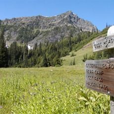
The hike to the former glacier site is challenging and starts from the old Dosewallips Road. The route demands good endurance and mountain hiking experience for the steep climbs in the high country.
The glacier was the main tributary of the Quinault River, and its loss left the river too shallow for salmon to swim up. The Quinault Indian Nation, which relied on salmon fishing, had to consider moving its villages at high cost. The tribe also threatened to ratify the Kyoto Protocol on its own, since treaties with the United States treat tribes as sovereign nations.
The community of curious travelers
AroundUs brings together thousands of curated places, local tips, and hidden gems, enriched daily by 95,215 contributors worldwide.