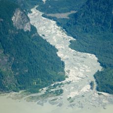
Garibaldi Volcanic Belt, Volcanic mountain chain in British Columbia, Canada
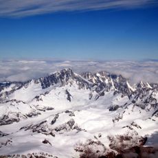
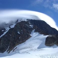
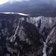
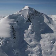
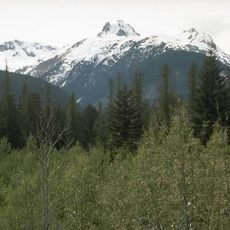
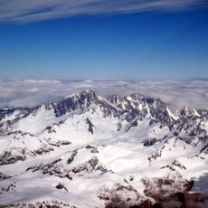
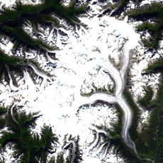
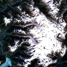
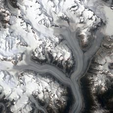
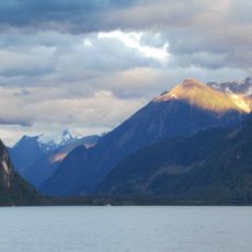
The Garibaldi Volcanic Belt is a chain of volcanoes stretching along the Pacific Ranges of the Coast Mountains, featuring multiple stratovolcanoes and subglacial volcanoes surrounded by glacial landscapes. The terrain displays diverse volcanic formations and ice-shaped features across the region.
The volcanic belt formed through multiple eruption cycles spanning several million years, beginning during the earliest volcanic phases. The most recent volcanic activity occurred roughly 2000 years ago, showing this system remained geologically active until relatively recent times.
The belt's name comes from Mount Garibaldi, named for Italian patriot Giuseppe Garibaldi. The chain forms the northernmost part of the Cascade Volcanic Arc, the same system as Mount St. Helens and Mount Baker. Its three volcanic zones lie in three echelon segments, called the northern, central and southern segments.
The belt runs from Watts Point, near Squamish, north to the Ha-Iltzuk Icefield, so road access is limited to its southern end; most northern volcanoes are reached only by air or long expeditions. The Cascadia subduction zone offshore can produce earthquakes of magnitude 7.0 or greater, and the plate interface stays locked for roughly 500 years between slips.
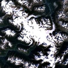
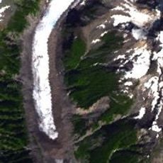
Two large, poorly studied complexes sit at the northern end of the Pacific Ranges: the Silverthrone Caldera and the Franklin Glacier Complex. They are counted as part of the belt, but their tectonic relationship to the other volcanoes remains unclear because so little fieldwork has been done there.
The community of curious travelers
AroundUs brings together thousands of curated places, local tips, and hidden gems, enriched daily by 94,630 contributors worldwide.