Silverthrone Caldera, Caldera complex in Pacific Ranges, British Columbia, Canada
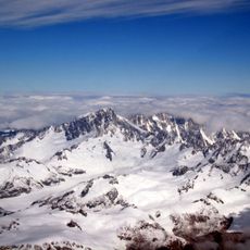
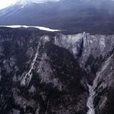
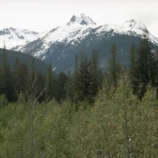
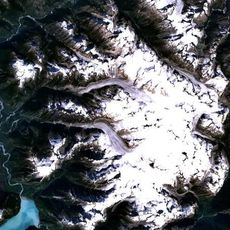
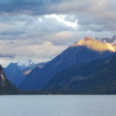
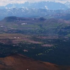
Silverthrone Caldera is a vast volcanic basin in British Columbia's Coast Mountains, featuring a depression formed when magma drained from beneath the surface. The landscape consists of bare rock faces and steep walls that reveal the complex geology built up through repeated volcanic activity.
The structure formed through multiple volcanic eruptions that built up layers of rock and ash over time. When the underlying magma chamber emptied and collapsed, it created the large depression that exists today.
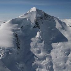
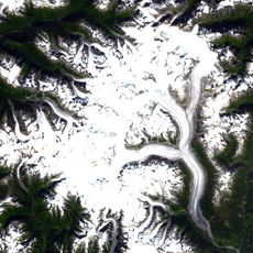
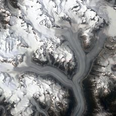
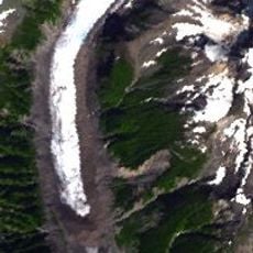
The name Silverthrone comes from Silverthrone Mountain, recorded in Canadian Alpine Journal articles by 1933 and likely coined by Don Munday, who with Phyllis Munday made the first ascent in 1936. The caldera also gave its name to Silverthrone Glacier, an outlet of the Ha-Iltzuk Icefield. Before contact, Indigenous peoples used obsidian from the volcano.
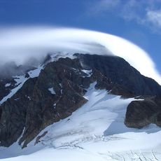
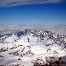
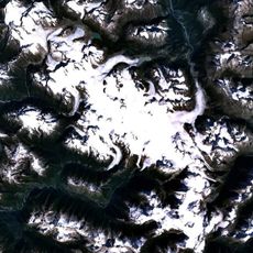
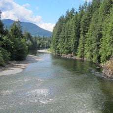
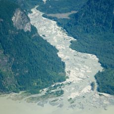
There are no settlements near the caldera; access is by helicopter or on foot through river valleys such as the Kingcome, Pashleth and Wakeman drainages, starting from the British Columbia coast or the Interior Plateau. Summer sport fishing camps and logging operations are the only activity in the area. Snow and glacial ice cover the higher elevations, and the caldera's eruptive history is poorly known because fieldwork is difficult.
Silverthrone Caldera takes its name from Silverthrone Mountain, whose first ascent was made by Don and Phyllis Munday in 1936; the name, noted in Canadian Alpine Journal articles by 1933, describes the icy landscape. The caldera also shares its name with Silverthrone Glacier, an outlet of the Ha-Iltzuk Icefield.
The community of curious travelers
AroundUs brings together thousands of curated places, local tips, and hidden gems, enriched daily by 94,629 contributors worldwide.