North Vancouver, District municipality in Metro Vancouver, Canada.
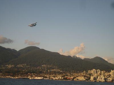
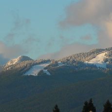
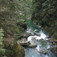
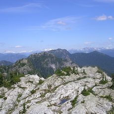
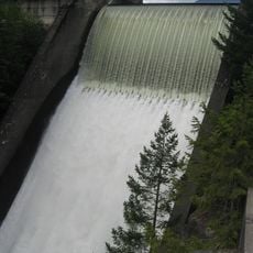
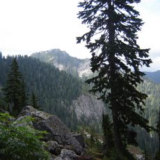
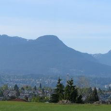
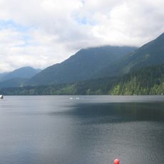
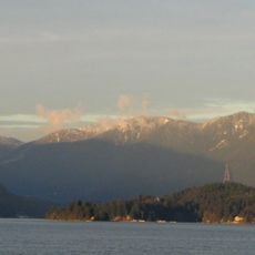
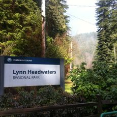
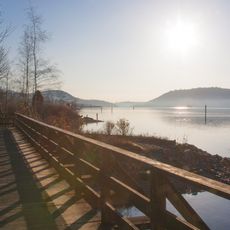
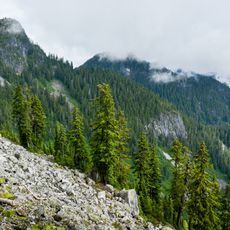
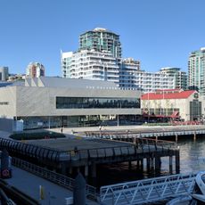
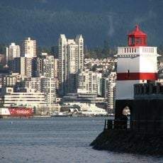
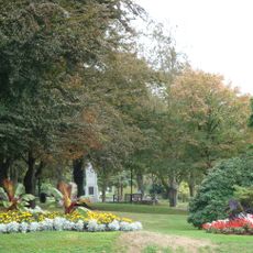
North Vancouver is a district municipality stretching from Horseshoe Bay to Deep Cove, with residential neighborhoods positioned between mountains and Burrard Inlet. The area features steep forests, rivers, and coastal sections interwoven with a network of communities throughout its terrain.
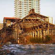
Established in 1891, this district began as a logging settlement where Pioneer Mills marked the start of industrial development. Those early years shaped how communities here developed around resource extraction and the natural landscape.
The Squamish and Tsleil-Waututh Nations have inhabited this land for thousands of years, and their presence still shapes daily life through local names, art, and community values. Visitors notice their influence in how the region honors its natural environment and Indigenous stories woven into the landscape.
Ferry and bus services link this district to greater Vancouver, making daily travel across the water and through communities straightforward. Those seeking nature can find walking trails and water access scattered throughout the neighborhoods.
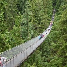
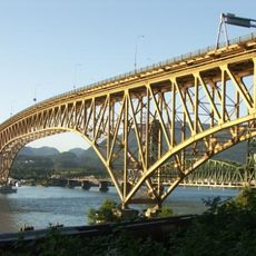
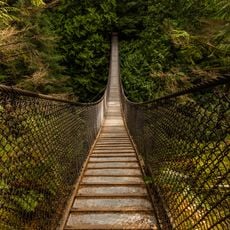
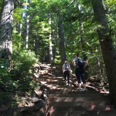
Multiple suspension bridges crisscross the area, including Lynn Canyon and Capilano, each offering different views of the rainforest canopy and mountain terrain. These structures let visitors experience the forest's height and depth from angles that ground-level paths cannot provide.
The community of curious travelers
AroundUs brings together thousands of curated places, local tips, and hidden gems, enriched daily by 60,000 contributors worldwide.