Enable Location

We need your location to show you interesting places around you

Discover nearby places

Find interesting locations and hidden gems around you

Precise directions

Get accurate directions and distances to places

Your location is never shared with other users. It's only used when you tap the location button.

Delta

Log in to your account

Start exploring — it's free

Trusted by 62,851 travelers worldwide

Continue with Google
Continue with Apple
or

We will send you a code to connect

By continuing, you accept our Terms and Conditions and our Privacy Policy

Check your inbox

We've sent a pincode in your inbox. Please enter the code below.

Delta, Coastal city in Metro Vancouver, Canada

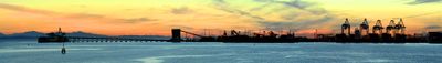
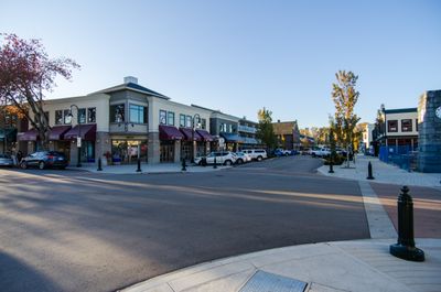
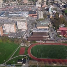
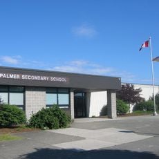
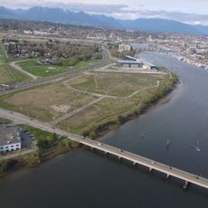
Delta is a coastal city in Metro Vancouver, British Columbia, Canada, located on flat lowlands along the Fraser River, Boundary Bay, and the Strait of Georgia. The municipality divides into three main communities: North Delta sits inland, Ladner lies further south along the river, and Tsawwassen stretches along the coast near the ferry terminal.

The Tsawwassen First Nation inhabited this land for thousands of years before European settlers arrived in the mid-1800s and established farms on the fertile soil. In 1879 the scattered homesteads and villages formally became a municipality, gradually shifting from a purely farming settlement to a residential and industrial area.

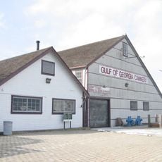
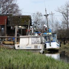
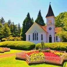
Residents call the three parts of this municipality by their distinct community names, with Ladner serving as a historic village center, while Tsawwassen carries the name of the First Nation people who have lived here for centuries. Particularly around Ladner, older wooden buildings and street names reflect the farming families who first settled the area.

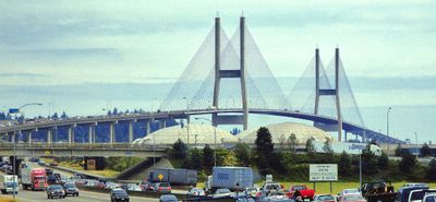
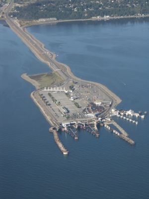
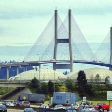
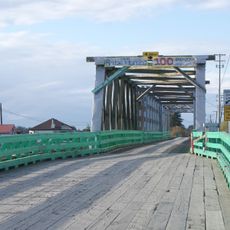
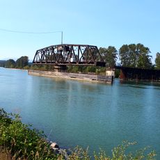
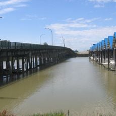
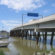
The George Massey Tunnel and Alex Fraser Bridge link this municipality to Richmond and Vancouver, while ferries from Tsawwassen sail to Vancouver Island and the Gulf Islands. Bike paths along the dikes and through farming areas offer quiet routes for walkers and cyclists, especially during warmer months.

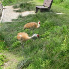
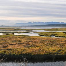
Burns Bog is a protected raised peat bog covering 3,000 hectares (7,400 acres), making it the largest of its type in North America. This wetland stores more carbon than a forest of equal size and hosts rare plants, amphibians, and birds that visitors can observe from trails along its edges.

The community of curious travelers

AroundUs brings together thousands of curated places, local tips, and hidden gems, enriched daily by 60,000 contributors worldwide.

Start exploring
Inception
1879
Elevation above the sea
10 m
Shares border with
Richmond, Surrey, Point Roberts, New Westminster
GPS coordinates
49.12000,-122.99000
Latest update
December 13, 2025 18:42
« Delta - Coastal city in Metro Vancouver, Canada » is provided by Around Us (aroundus.com). Images and texts are derived from Wikimedia project under a Creative Commons license. You are allowed to copy, distribute, and modify copies of this page, under the conditions set by the license, as long as this note is clearly visible.

Discover hidden gems everywhere you go!

From secret cafés to breathtaking viewpoints, skip the crowded tourist spots and find places that match your style. Our app makes it easy with voice search, smart filtering, route optimization, and insider tips from travelers worldwide. Download now for the complete mobile experience.

Around Us App Screenshot

A unique approach to discovering new places

Le Figaro

All the places worth exploring

France Info

A tailor-made excursion in just a few clicks

20 Minutes

Around Us
Travel Guide & Maps
Download

Send to your phone

QR Code
1

Open the camera app on your mobile.

2

Point at the QR code with your camera. A notification will appear.

3

Tap the notification to open the link.