
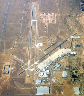
Southern California Logistics Airport, Cargo airport in Victorville, California, United States.
Southern California Logistics Airport spans 2,300 acres with two runways, including one measuring 13,051 feet suitable for international jet transports.
The facility operated as George Air Force Base from 1941 to 1992, serving as a United States Air Force flight training center during World War II.
The airport grounds have provided filming locations for multiple motion pictures including Twister, Contact, and Ocean's Eleven, representing desert aviation settings.
The airport maintains a 24-hour U.S. Customs service and connects to major highways, facilitating efficient cargo distribution throughout Southern California.
The facility stores hundreds of commercial aircraft in its desert location, including retired Boeing 747s and temporary pandemic-related parking for international carriers.
Location: California
Official opening: 1941
Elevation above the sea: 879 m
Operator: United States Air Force
Website: https://victorvilleca.gov/government/city-departments/airport
GPS coordinates: 34.59750,-117.38306
Latest update: May 26, 2025 20:59
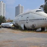
Around the world, thousands of airplanes, ships, and vehicles reach the end of their service life and are sent to storage or dismantling sites. These locations mark the final destinations of transportation machines: some wait in the Arizona desert where over 4,000 military aircraft are preserved thanks to the dry climate, others are anchored in Suisun Bay in California as strategic reserves, while still others are dismantled at industrial sites in Chittagong, Bangladesh, where workers recover metal from large commercial ships. Some of these sites have taken unusual forms: in Bangkok, former passenger planes have been converted into homes where residents live; in Alliance, Nebraska, 39 gray cars replicate the exact arrangement of Stonehenge. From Roswell to rusted wrecks in Staten Island and abandoned radioactive vehicles near Chernobyl, these locations tell the comprehensive story of machines that have transported generations of travelers and goods.
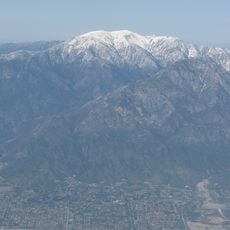
Mount San Antonio
42 km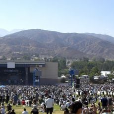
Glen Helen Amphitheater
43.8 km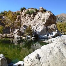
Deep Creek Hot Springs
34.4 km
Lake Arrowhead Reservoir
42 km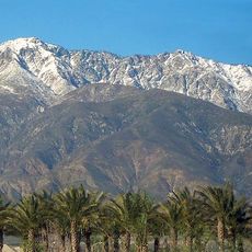
Cucamonga Peak
45.7 km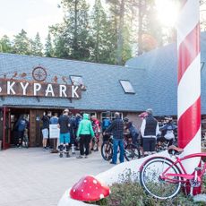
Santa's Village
1400.8 km
Mount Baldy Zen Center
45.2 km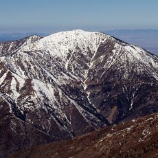
Mount Baden-Powell
44 km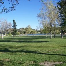
Glen Helen Regional Park
43.2 km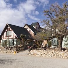
Antelope Valley Indian Museum State Historic Park
43.1 km
Saddleback Butte State Park
39 km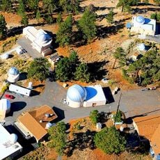
Table Mountain Observatory
36.4 km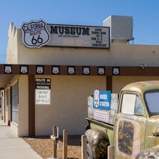
California Route 66 Museum
10.5 km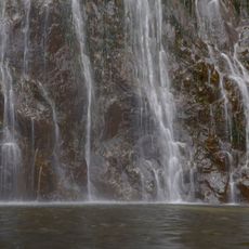
Bonita Falls
42.4 km
Devil Canyon
44.8 km
Iron Mountain
45.9 km
Mount Burnham
45.2 km
Mount Harwood
41.5 km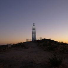
Desert Lighthouse
43 km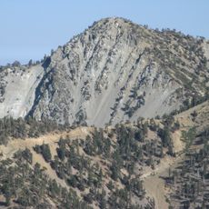
Telegraph Peak
42.3 km
Cajon Pass
30.5 km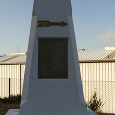
Santa Fe And Salt Lake Trail Monument
33.3 km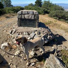
Monument Peak
39.3 km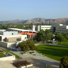
Santos Manuel Student Union
46.6 km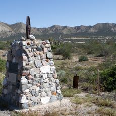
Mormon Trail Monument
30.4 km
San Bernardino Valley Water Conservation Demonstration Garden
46.4 km
Arboreto Heaps Peak
46.1 km
Mountain History Museum
40.6 kmReviews
Visited this place? Tap the stars to rate it and share your experience / photos with the community! Try now! You can cancel it anytime.
Discover hidden gems everywhere you go!
From secret cafés to breathtaking viewpoints, skip the crowded tourist spots and find places that match your style. Our app makes it easy with voice search, smart filtering, route optimization, and insider tips from travelers worldwide. Download now for the complete mobile experience.

A unique approach to discovering new places❞
— Le Figaro
All the places worth exploring❞
— France Info
A tailor-made excursion in just a few clicks❞
— 20 Minutes