
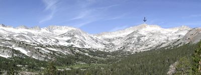
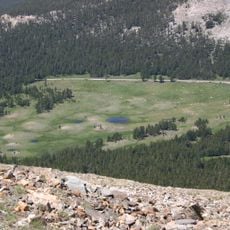
Hall Natural Area, research natural area bordering Yosemite National Park in the Sierra Nevada
Location: California
Location: Mono County
GPS coordinates: 37.95800,-119.29600
Latest update: March 4, 2025 01:55
Tioga Pass
6.2 km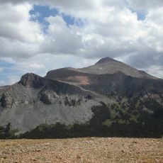
Mount Dana
9.2 km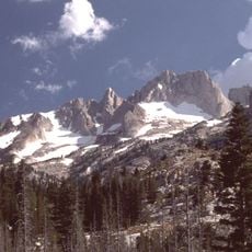
Matterhorn Peak
16.8 km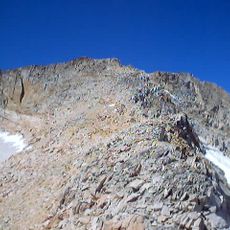
Mount Conness
2.4 km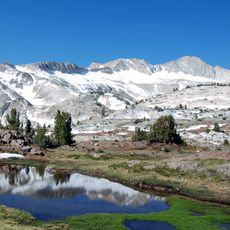
Conness Glacier
2.4 km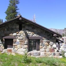
Tioga Pass Entrance Station
6.2 km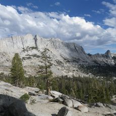
Matthes Crest
17.8 km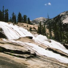
Waterwheel Falls
14.7 km
Glen Aulin High Sierra Camp
12.1 km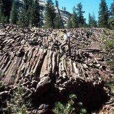
Little Devils Postpile
12.1 km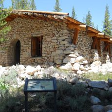
Parsons Memorial Lodge
10.8 km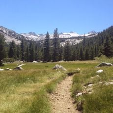
Lyell Canyon
10.5 km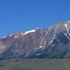
Mount Gibbs
11.6 km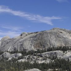
Medlicott Dome
16 km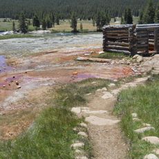
Soda Springs Cabin
10.7 km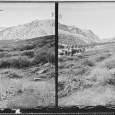
Bloody Canyon
15 km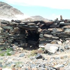
Great Sierra Mine Historic Site
4.1 km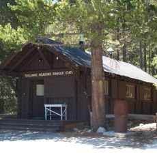
Tuolumne Meadows Ranger Stations and Comfort Stations
10.6 km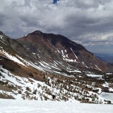
Dunderberg Peak
12 km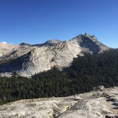
Unicorn Peak
14.6 km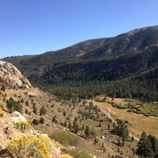
Lee Vining Canyon
10.4 km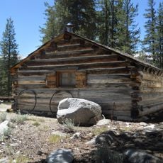
McCauley Cabin
10.9 km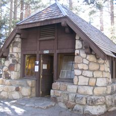
Tuolumne Meadows Campground
11.1 km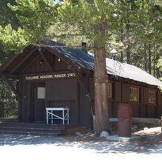
Tuolumne Meadows Ranger Station
9.9 km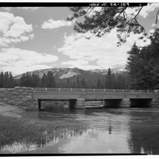
Tuolumne Meadows Bridge
10.5 km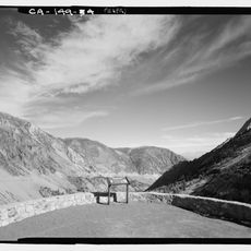
Tioga Pass Road Valley View
6.1 km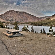
Tioga Lake Overlook
5.5 km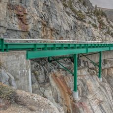
Lee Vining Canyon Bridge
6.1 kmVisited this place? Tap the stars to rate it and share your experience / photos with the community! Try now! You can cancel it anytime.
Discover hidden gems everywhere you go!
From secret cafés to breathtaking viewpoints, skip the crowded tourist spots and find places that match your style. Our app makes it easy with voice search, smart filtering, route optimization, and insider tips from travelers worldwide. Download now for the complete mobile experience.

A unique approach to discovering new places❞
— Le Figaro
All the places worth exploring❞
— France Info
A tailor-made excursion in just a few clicks❞
— 20 Minutes