Chest opened
+${chestReward.xp} XP
Explorer
NOUVEAU ×${chestReward.collectible.quantity}
tapez pour fermer

See the monuments around you in AR Open chests in the app

Around Us is built for your phone — point your camera at the streets and discover the monuments and places around you in augmented reality. Around Us is built for your phone — chests unlock when you walk, explore and capture nearby places.

Enable Location

We need your location to show you interesting places around you

Discover nearby places

Find interesting locations and hidden gems around you

Precise directions

Get accurate directions and distances to places

Your location is never shared with other users. It's only used when you tap the location button.

Oquirrh Mountains

Log in to your account

Start exploring — it's free

Trusted by 86,309 travelers worldwide

Continue with Google
Continue with Apple
or

We will send you a code to connect

By continuing, you accept our Terms and Conditions and our Privacy Policy

Check your inbox

We've sent a pincode in your inbox. Please enter the code below.

Oquirrh Mountains
Discussion Reviews 1 Photos
19.7k Popularity

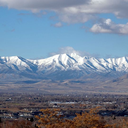
Oquirrh Mountains, Mountain range in northern Utah, United States

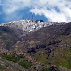
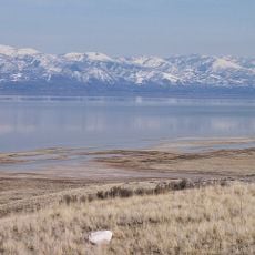
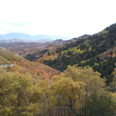
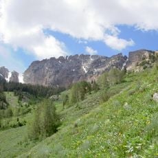
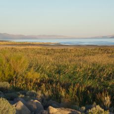
The Oquirrh Mountains form a long ridge running south from the Great Salt Lake, with numerous peaks rising across northern Utah. The range displays layered rock formations and patches of forest vegetation along its slopes, creating a varied landscape.

The Goshute people originally inhabited this region and named the mountains after their forested characteristics. Since then, the range has experienced significant development related to mineral extraction.

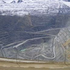
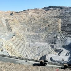
The mountain range contains the Bingham Canyon Mine, which has produced more mineral wealth than the California, Nevada, and Klondike gold rushes combined.

The range is accessible through several canyons offering hiking routes to the interior and higher elevations. A paved road crosses through the mountains, providing another way to experience the area.

Bald eagles establish nesting sites in the western cliffs during winter months, particularly near a reservoir in a nearby town. This seasonal presence attracts visitors interested in observing these birds.

The community of curious travelers

AroundUs brings together thousands of curated places, local tips, and hidden gems, enriched daily by 60,000 contributors worldwide.
Start exploring
Location
Location
Location
GPS coordinates
40.62390,-112.32300
Latest update
September 12, 2026 02:49
Around this place
Bingham Canyon Mine
United States of America

Bingham Canyon Mine

11.5 mi
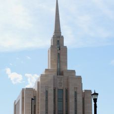
Oquirrh Mountain Utah Temple
United States of America

Oquirrh Mountain Utah Temple

18.3 mi
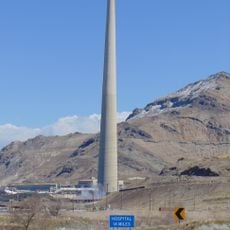
Kennecott Smokestack
United States of America

Kennecott Smokestack

9.4 mi
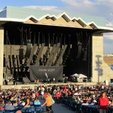
USANA Amphitheatre
United States of America

USANA Amphitheatre

15.3 mi
Farnsworth Peak
United States of America

Farnsworth Peak

6.8 mi
Great Salt Lake State Park
United States of America

Great Salt Lake State Park

9.6 mi
Butterfield Canyon
United States of America

Butterfield Canyon

15.1 mi
Deseret Peak
United States of America

Deseret Peak

19.6 mi
United States of America

Black Rock

8.6 mi
Bingham Canyon Reclamation Project
United States of America

Bingham Canyon Reclamation Project

11.4 mi
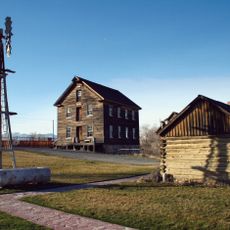
Benson Grist Mill
United States of America

Benson Grist Mill

2.2 mi
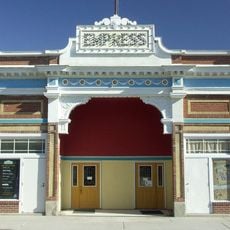
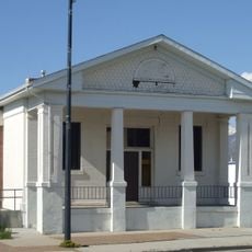
Empress Theatre
United States of America

Empress Theatre

12.8 mi
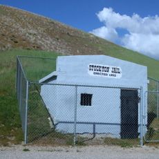
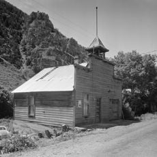
Stockton Jail
United States of America

Stockton Jail

11.9 mi
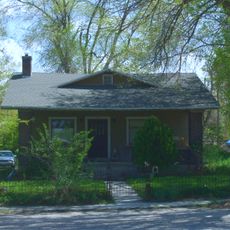
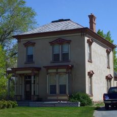
Hilda Erickson House
United States of America

Hilda Erickson House

7.9 mi
Tooele County Courthouse and City Hall
United States of America

Tooele County Courthouse and City Hall

6.6 mi
Alex and Mary Alice Johnson House
United States of America

Alex and Mary Alice Johnson House

7.5 mi
James and Penninah Wrathall House
United States of America

James and Penninah Wrathall House

7.8 mi
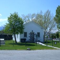
Grantsville First Ward Meetinghouse
United States of America

Grantsville First Ward Meetinghouse

8 mi
Grantsville School and Meetinghouse
United States of America

Grantsville School and Meetinghouse

8 mi
John T. Rich House
United States of America

John T. Rich House

8 mi
Tooele Carnegie Library
United States of America

Tooele Carnegie Library

6.6 mi
Ophir Town Hall
United States of America

Ophir Town Hall

17.9 mi
Johnson Hall-Deseret Mercantile Building
United States of America

Johnson Hall-Deseret Mercantile Building

7.6 mi
Reddick Hotel-Ophir LDS Meetinghouse
United States of America

Reddick Hotel-Ophir LDS Meetinghouse

17.9 mi
Peter Clegg House
United States of America

Peter Clegg House

6.6 mi
Stockton School
United States of America

Stockton School

12.1 mi
Copperton Community Methodist Church
United States of America

Copperton Community Methodist Church

12.7 mi
Sunset Beach
United States of America

Sunset Beach

8.9 mi
Show the full map
Reviews
Share your experience

No review yet

Discussions
Start a discussion...

No discussion yet

« Oquirrh Mountains - Mountain range in northern Utah, United States » is provided by Around Us (aroundus.com). Images and texts are derived from Wikimedia project under a Creative Commons license. You are allowed to copy, distribute, and modify copies of this page, under the conditions set by the license, as long as this note is clearly visible.

Discover hidden gems everywhere you go!

From secret cafés to breathtaking viewpoints, skip the crowded tourist spots and find places that match your style. Our app makes it easy with voice search, smart filtering, route optimization, and insider tips from travelers worldwide. Download now for the complete mobile experience.
Around Us App Screenshot

A unique approach to discovering new places

Le Figaro

All the places worth exploring

France Info

A tailor-made excursion in just a few clicks

20 Minutes

Around Us
Travel Guide & Maps
Download

Send to your phone

QR Code
1

Open the camera app on your mobile.

2

Point at the QR code with your camera. A notification will appear.

3

Tap the notification to open the link.