Ottawa South, Federal electoral district in Ottawa, Canada
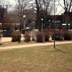
Ottawa South is a federal electoral district covering the southern portion of Ottawa, stretching from the Rideau River to Highway 417. The area includes residential neighborhoods, commercial corridors, and mixed-use zones that together form a significant part of the city's southern section.
The district was created in 1987 through federal redistribution to better represent the rapidly growing population in southern Ottawa. This boundary adjustment allowed for fairer distribution of parliamentary representation across the region.
The district reflects the diverse communities living here, with English and French woven into daily life. This bilingual character shapes how neighbors interact and marks the region's role as Canada's national capital.
Bank Street and Hunt Club Road serve as the main transportation routes connecting residents to polling stations and government services throughout the district. These roads help orient visitors moving through different neighborhoods and connecting to other parts of the city.
The district boundaries follow a mix of natural features like the Rideau River and human-made infrastructure such as the Canadian National Railway line. These physical markers define where the district begins and ends, creating clear divisions across the landscape.
The community of curious travelers
AroundUs brings together thousands of curated places, local tips, and hidden gems, enriched daily by 60,000 contributors worldwide.