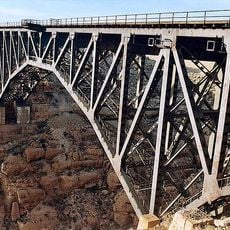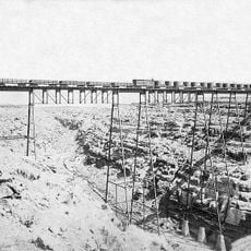
Canyon Diablo, Natural canyon in Coconino County, Arizona.
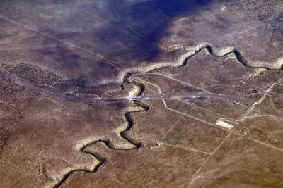
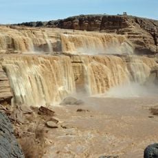
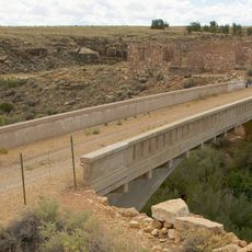
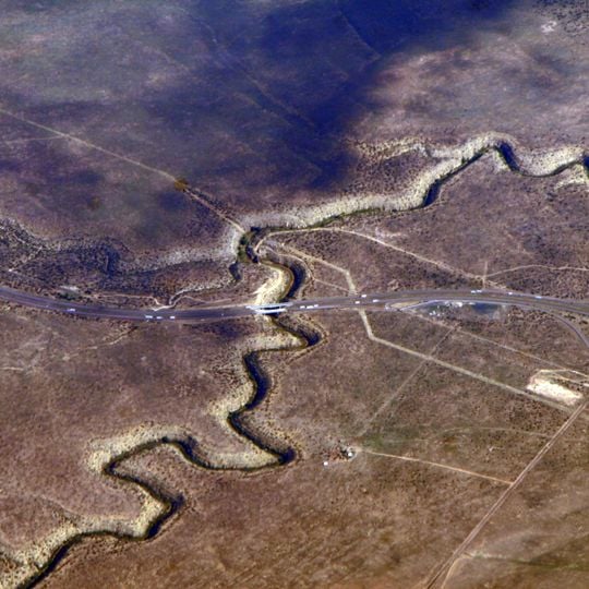
Canyon Diablo is an 81-mile (130 km) incised meander cut into the Colorado Plateau about 30 miles (48 km) east of Flagstaff, Arizona. Its walls, averaging 131 feet (40 m) high and reaching 225 feet (69 m) deep near the railway bridge, are mainly yellow-gray Permian Kaibab Limestone, with some stretches in the younger Moenkopi Formation. A paved highway bridge carrying Interstate 40 crosses the canyon near the middle of the view.
Lieutenant Amiel Weeks Whipple discovered and named Canyon Diablo in December 1853 during a survey expedition along the 35th parallel. His work was part of early American efforts to map and understand the western territories.
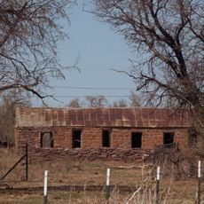
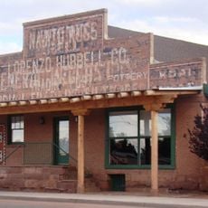
The name "Cañon Diablo" was recorded by Lieutenant Amiel Weeks Whipple during his 1853 survey along the 35th parallel and was not anglicized to "Canyon Diablo" until the early 20th century. The Navajo name for the canyon is Kin Łigaaí. The nearby settlement of Canyon Diablo, founded in 1882 at the railroad bridge, grew to nearly 2,000 residents before becoming largely a ghost town within months.
Access to Canyon Diablo comes through dirt roads from Interstate 40, and you need a vehicle with good clearance to navigate them safely. Check local conditions before heading out, as weather and road quality can change based on the season.
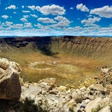
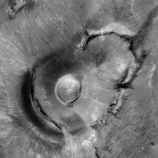
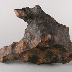
The canyon was not named after the meteorite. Whipple recorded the name "Cañon Diablo" in his 1853 survey, decades before Albert E. Foote studied a fragment in 1891 and the Canyon Diablo meteorite took its name from the nearest post office. Clair Patterson later used that meteorite in 1956 to help date the age of Earth.
The community of curious travelers
AroundUs brings together thousands of curated places, local tips, and hidden gems, enriched daily by 94,135 contributors worldwide.