Chest opened
+${chestReward.xp} XP
Explorer
NOUVEAU ×${chestReward.collectible.quantity}
tapez pour fermer
Chest locked

Open chests in the app

Around Us is built for your phone — chests unlock when you walk, explore and capture nearby places.

Enable Location

We need your location to show you interesting places around you

Discover nearby places

Find interesting locations and hidden gems around you

Precise directions

Get accurate directions and distances to places

Your location is never shared with other users. It's only used when you tap the location button.

Padres Butte

Log in to your account

Start exploring — it's free

Trusted by 76,467 travelers worldwide

Continue with Google
Continue with Apple
or

We will send you a code to connect

By continuing, you accept our Terms and Conditions and our Privacy Policy

Check your inbox

We've sent a pincode in your inbox. Please enter the code below.

Padres Butte
Discussion Reviews 1 Photos
600+ Popularity

Padres Butte, Summit and hill in San Juan County, Utah, US

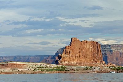
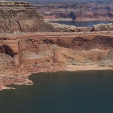
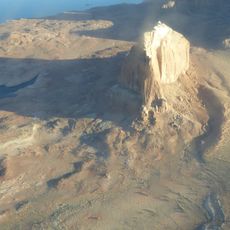
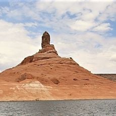
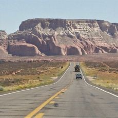
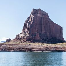
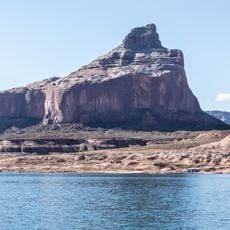
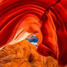
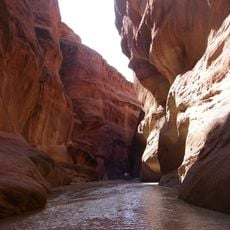
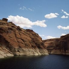
Padres Butte is a rocky hill in San Juan County, Utah, near the tip of Padre Point on the south shore of Lake Powell. It has a flat top and slopes made of Entrada Sandstone, which appears in layered bands of earthy color.

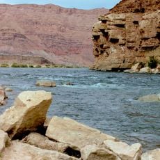
The name Padres Butte was officially given in 1961 by the U.S. Board on Geographic Names, recalling the early Spanish explorers who traveled through this region. Not far from here stood the Crossing of the Fathers, a historic ford on the Colorado River used by travelers before the lake was created.

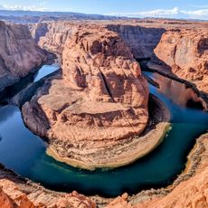
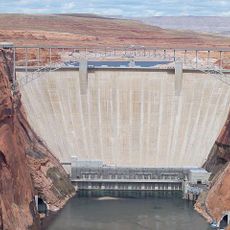
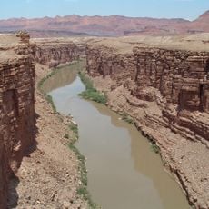
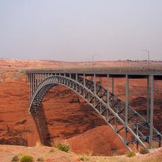
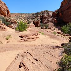
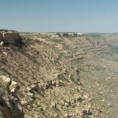
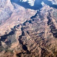
Padres Butte sits within the Glen Canyon National Recreation Area, a protected stretch of the Colorado Plateau. Visitors who walk through the area notice how the rocks and the water level of Lake Powell together shape a wide, open landscape.

The terrain around Padres Butte is rocky and steep in places, so solid footwear and plenty of water are strongly recommended. The site is fully exposed to the weather and has little shade, making a visit during the cooler parts of the day more comfortable.

Padres Butte was once an island in Lake Powell, but as water levels dropped over the years, the surrounding land connected it to Padre Point and made the hill reachable on foot. This connection is not permanent, and a rise in water levels could turn it back into an island.

The community of curious travelers

AroundUs brings together thousands of curated places, local tips, and hidden gems, enriched daily by 60,000 contributors worldwide.

Start exploring
Location
Elevation above the sea
1,227 m
Address
Padres Butte, Utah, USA
GPS coordinates
37.04860,-111.28265
Latest update
June 23, 2026 09:32
Reviews
Share your experience

No review yet

Discussions
Start a discussion...

No discussion yet

« Padres Butte - Summit and hill in San Juan County, Utah, US » is provided by Around Us (aroundus.com). Images and texts are derived from Wikimedia project under a Creative Commons license. You are allowed to copy, distribute, and modify copies of this page, under the conditions set by the license, as long as this note is clearly visible.

Discover hidden gems everywhere you go!

From secret cafés to breathtaking viewpoints, skip the crowded tourist spots and find places that match your style. Our app makes it easy with voice search, smart filtering, route optimization, and insider tips from travelers worldwide. Download now for the complete mobile experience.

Around Us App Screenshot

A unique approach to discovering new places

Le Figaro

All the places worth exploring

France Info

A tailor-made excursion in just a few clicks

20 Minutes

Around Us
Travel Guide & Maps
Download

Send to your phone

QR Code
1

Open the camera app on your mobile.

2

Point at the QR code with your camera. A notification will appear.

3

Tap the notification to open the link.