
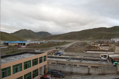
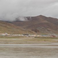
Saga County, county
Location: Xigazê
Website: http://xzsg.gov.cn
GPS coordinates: 29.32970,85.23302
Latest update: March 10, 2025 10:27
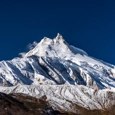
Manaslu
108.8 km
Shishapangma
121.3 km
Mustang
130.8 km
Langtang National Park
132.4 km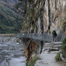
Gorkha Bridge
115.6 km
Molamenqing
122 km
Langtang Ri
114.3 km
Manaslu Conservation Area
100.2 km
Yangra
104.9 km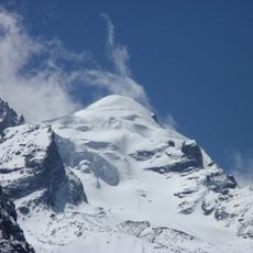
Baden-Powell Peak
132.6 km
Chamar
90.7 km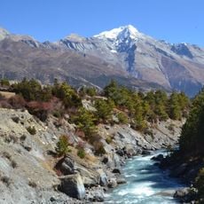
Pisang Peak
126.9 km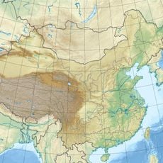
Lunpo Gangri
82.3 km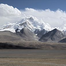
Kangpenqing
91.7 km
Dragmarpo Ri
119.3 km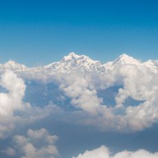
Ganesh NW
107.3 km
Salasungo
111.1 km
Lajo Dada
89 km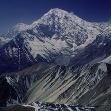
Kimshung
121.8 km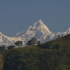
Himalchuli
115.1 km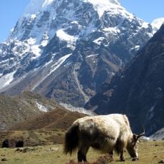
Langshisa Ri
132.4 km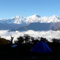
Pabil
110.6 km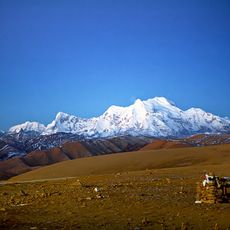
Gurkarpo Ri
135.2 km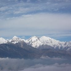
Lapsang Karpo
111.4 km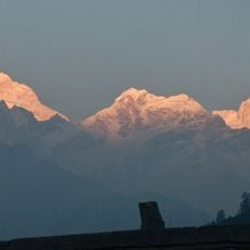
Ngadi Chuli
112.5 km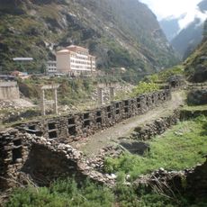
Rasuwa Fort
117.9 km
Yala Peak
127 km
Kyuṅgāri̇̄
122.5 kmVisited this place? Tap the stars to rate it and share your experience / photos with the community! Try now! You can cancel it anytime.
Discover hidden gems everywhere you go!
From secret cafés to breathtaking viewpoints, skip the crowded tourist spots and find places that match your style. Our app makes it easy with voice search, smart filtering, route optimization, and insider tips from travelers worldwide. Download now for the complete mobile experience.

A unique approach to discovering new places❞
— Le Figaro
All the places worth exploring❞
— France Info
A tailor-made excursion in just a few clicks❞
— 20 Minutes